Route 1
The coast via Brønnøysund
The route is defined as demanding
Routes defined as demanding are suitable for people with experience in demanding batchesLength
306 km
Popularity
5out of 10
Route 1: Kysten via Brønnøysund
It is recommended that GPS is set to select the fastest route and any avoidance turned off in order for the route to be calculated as described.
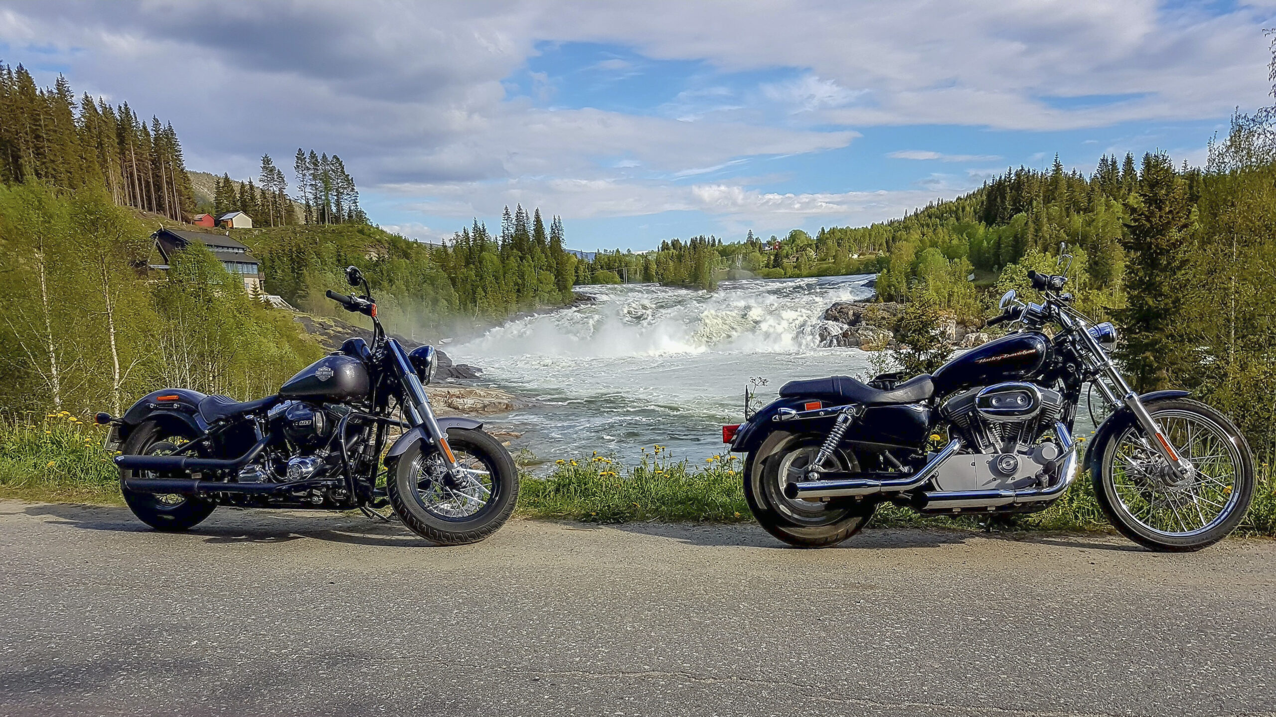
From Mosjøen, head south on the E6 towards Grane along the salmon river Vefsna. On the way is Laksforsen, a mighty 17 meter high waterfall and definitely worth a stop. The beautiful waterfall has a flow rate of 700 m3 per second and a height of 17 meters. The waterfall is part of the river, which has a fascinating history. Right by the waterfall is a café where you can sit and enjoy the view before heading towards Brønnøysund.
Then continue south to Brenna, turn off the E6 and take the Tosenveien (FV76) to Brønnøysund. On the trip, we recommend a visit to Nevernes harbor in Velfjord, a great center for coastal culture in Helgeland. In Brønnøysund you must see Torghatten, the mountain with a hole through it. Lunch is recommended at Hildus Urterarium. From Brønnøysund there are two ferries, from Horn to Andalsvågen and from Forvik to Tjøtta. In between you will pass Vevelstad and the beautiful and old trading post Forvik, where they produce their own coffee and offer both coffee and something to eat.When you arrive at Tjøtta, you should take your time on the way to Sandnessjøen.
You drive along the beautiful mountain peaks of the Seven Sisters. Tjøtta and Offersøy wind around a beautiful, natural sea basin. You can also stop off at the Snøhetta-designed Petter Dass Museum and the idyllic Alstahaugtunet, eat at the café and simply enjoy the surroundings.The route home includes the Helgeland Bridge, which links Alstadhaug and Sandnessjøen with Leirfjord and the mainland. It is a spectacular cable-stayed bridge that is 1065 meters long with beautiful views both ways. Then you drive along the fjord back to Mosjøen with great asphalt and a relatively clear road.
Support
How can I navigate the route?
This depends primarily on whether you have installed a GPS, navigate by App on your mobile phone or prefer paper printouts. Here we describe the most common workflows:
- Download the GPX file for the route you want to your computer
- Import the file to your route planning tool (e.g. Garmin's Basecamp or Tom Tom's MyDrive)
- Export the route to your GPS in the usual way
- Check that the route is calculated correctly in your GPS (It is recommended that the GPS is set to select the fastest route and any avoidance turned off for the route to be calculated as described).
- Have a great trip!
- Download the GPX file for the route you want to your mobile phone
- Send/open the file in the App that belongs to your GPS model (e.g. Garmin's Drive or Tom Tom's MyDrive)
- Send the route to your GPS (follow the instructions that come with your GPS and App)
- Check that the route is calculated correctly in your GPS (It is recommended that the GPS is set to select the fastest route and any avoidance turned off for the route to be calculated as described).
- Have a great trip!
Many of the routes on Hubriding use the app Ride with GPS app for route planning and navigation of the routes. You can download this as a free version or pay for extended use. Click on the Send to Device link on the map on this page, when the app has started and you see the current route, click Navigate and then just follow the route.
- Click on the link in the map on the page and the map will open in a new window
- Print the map, with or without description
- Have a great trip!