
Ruten defineres som normal
Ruter som defineres som normal egner seg for de fleste som har erfaring med noe krevende partier.Lengde
62 km

Popularitet
8.1 av 10
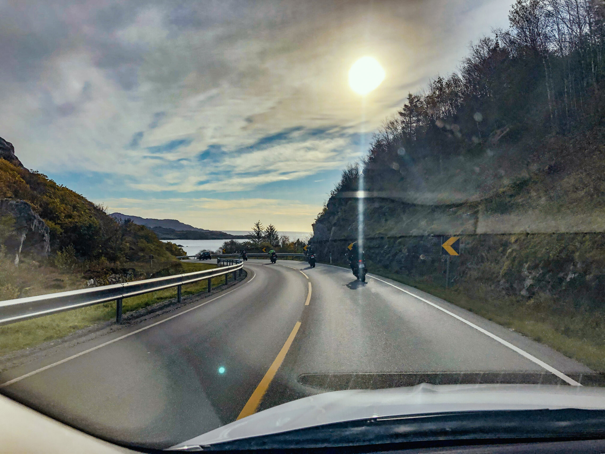
Reisen starter på E39 nordover. Etter en 20 minutters tid kan dere ta en avstikker nedom Stavanger sentrum for en kopp kaffe i fargegaten og et besøk i Stavangers mest alternative og trendy nabolag. Her finner dere kafeer i alle farger og kan fylle opp med energi for resten av turen.