Route 1

Fantastic Fosen

Much of this tour runs along the sea, over hills and moors, with Trøndelag's coastal nature as a backdrop. Unique views, roads designed for cruise control, bends straight out of a biker's adventure book and perfect stages. The keyword for route 1: the road is the destination!

The route is defined as simple

Routes defined as easy are suitable for everyone regardless of experience

Length
270 km

Popularity
6out of 10

Calculated automatically

Route 1: Fantastic Fosen

HR_Rute_1.gpx 10 KB
Download

It is recommended that GPS is set to select the fastest route and any avoidance turned off in order for the route to be calculated as described.

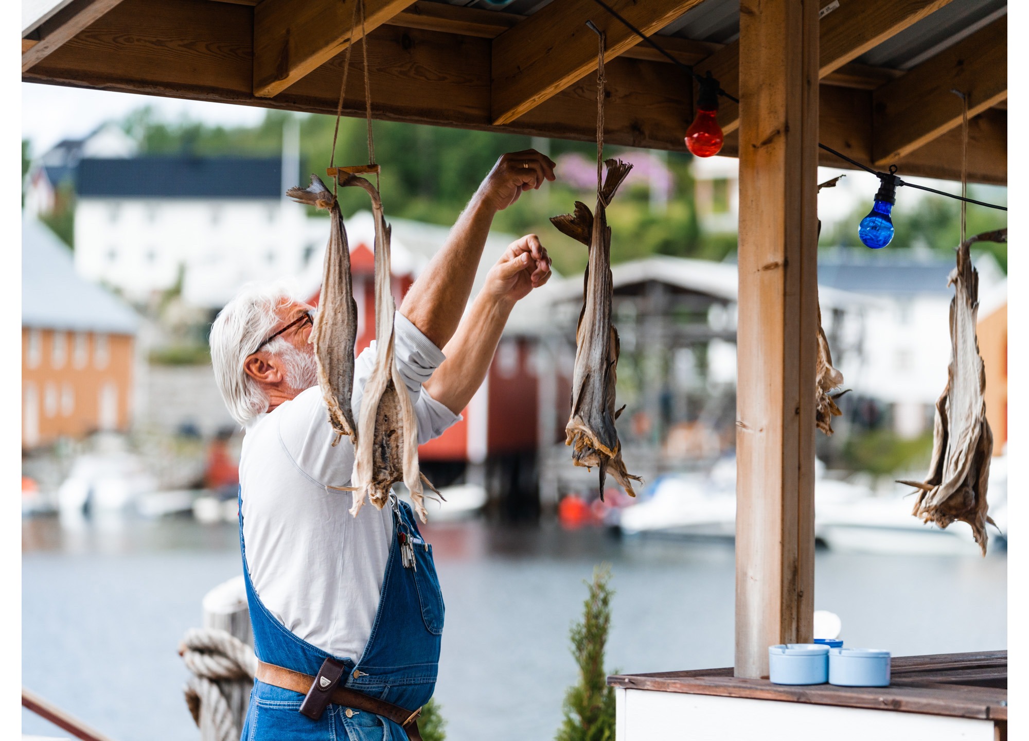
Fosen is a peninsula and is much larger than you might think. It consists of 7 municipalities and has many great roads and experiences for a motorcyclist. Coastal landscapes and steep mountainsides, rock formations and deserted stretches of road, here time and the road are the destination. Narrow, fantastic roads lead you around Fosen in varied terrain. On the windless sunny days, the fog comes quickly, so pack some warm clothes.

Follow county road 710 from Bårdshaug Herregård and drive a little over an hour along the sea to Valset Ferjekai. In summer, the ferry runs every hour and the crossing to Brekstad takes 30 minutes. At the exit, you still follow the same county road through the village of Botngård in Ørland Municipality and then turn off onto county road 721 and follow it until you reach the exit to Lysøysundet on county road 86. The terrain is flat and expansive, with cornfields and agricultural landscapes in all directions when you start and changes along the way with small forests and rocks the further towards the sea you get. Lysøysundet is a nice place to stop for a cup of coffee.
From Lysøysundet, drive back to Botngård, where you turn off onto county road 710. Here you'll come to roads that are a dream for classic motorcycles, with a wide road surface and clear terrain that after a few kilometers turns into more dirt forest and hilly landscape. This is a nice stage until you reach Krinsvatnet and turn off towards Rissa on county road 715. After a few kilometers, you turn off onto county road 718 and again onto county road 133 until you reach one of Fossen's finest stops, Råkvåg. The place is known for its herring fishing heyday and for having Norway's longest row of piers outside the cities. At Marthabrygga or Landnota Bar & Spiseri, you can enjoy a good meal while the engine and driver get a little rest.

Full and satisfied, you drive on to County Road 718 and embark on perhaps the most beautiful stretch of the entire trip, a great hour along the fjord with fantastic soft curves and magnificent views, until you reach Rørvik ferry landing. The ferry back across the fjord runs every half hour for most of the day and takes about 25 minutes. The last stage goes to the right along county road 707 across Byneset and towards the E39 and Bårdshaug Manor.

Support

How can I navigate the route?

This depends primarily on whether you have installed a GPS, navigate by App on your mobile phone or prefer paper printouts. Here we describe the most common workflows:

  • Download the GPX file for the route you want to your computer
  • Import the file to your route planning tool (e.g. Garmin's Basecamp or Tom Tom's MyDrive)
  • Export the route to your GPS in the usual way
  • Check that the route is calculated correctly in your GPS (It is recommended that the GPS is set to select the fastest route and any avoidance turned off for the route to be calculated as described).
  • Have a great trip!
  • Download the GPX file for the route you want to your mobile phone
  • Send/open the file in the App that belongs to your GPS model (e.g. Garmin's Drive or Tom Tom's MyDrive)
  • Send the route to your GPS (follow the instructions that come with your GPS and App)
  • Check that the route is calculated correctly in your GPS (It is recommended that the GPS is set to select the fastest route and any avoidance turned off for the route to be calculated as described).
  • Have a great trip!

Many of the routes on Hubriding use the app Ride with GPS app for route planning and navigation of the routes. You can download this as a free version or pay for extended use. Click on the Send to Device link on the map on this page, when the app has started and you see the current route, click Navigate and then just follow the route.

  • Click on the link in the map on the page and the map will open in a new window
  • Print the map, with or without description
  • Have a great trip!