HubridingTelemarkStraand Hotel

Island paddling on Nisser

Route 2

Island paddling on Nisser

You'll paddle in beautiful surroundings, surrounded by islands with rocks and sandy beaches, under small bridges and through narrow straits. Take a swim along the way and enjoy the food and drink you bring with you.

The route is defined as normal

Routes defined as normal are suitable for most people who have experience with somewhat demanding parties

Time
5:00 hours

Length
7.2 km

Popularity
5out of 10

Calculated automatically

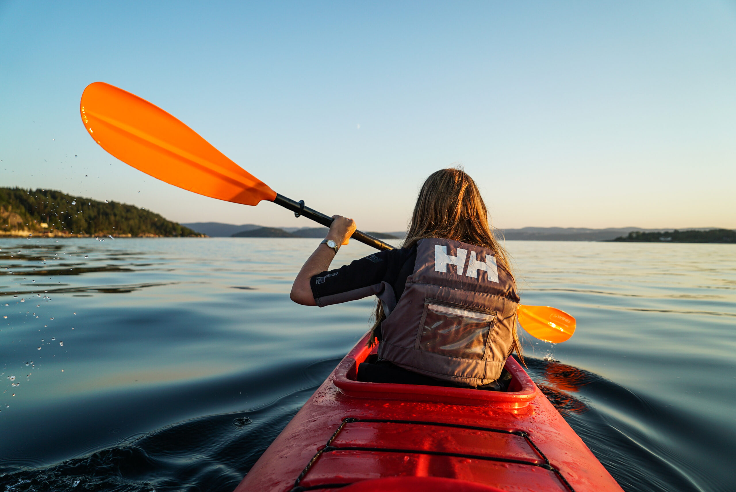
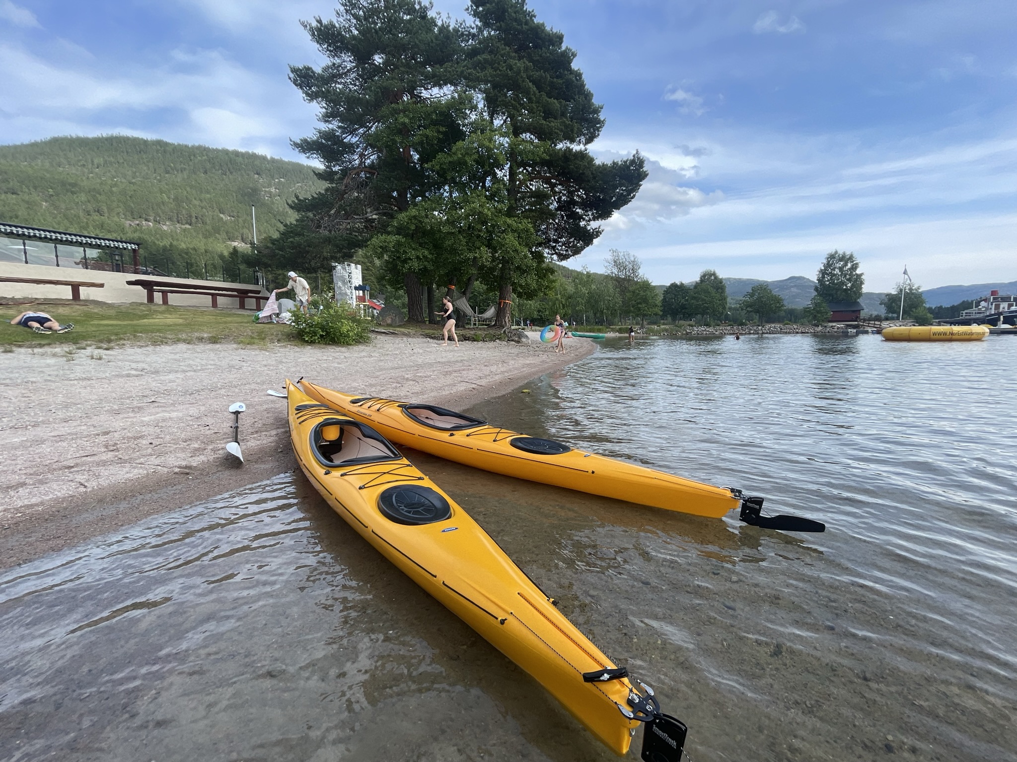
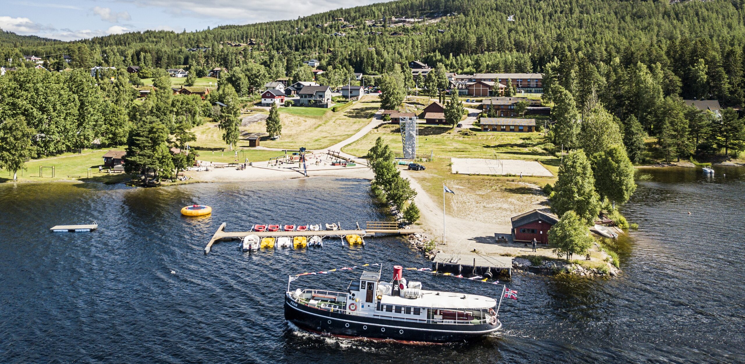
The tour goes around the islands at the northern end of Lake Nisser. Here it is possible to take detours and paddle between the islands to discover new gems. This is a great day trip and remember to paddle along the shore. Be especially careful if you choose to paddle out towards the fjord, which is capricious.

The tour goes to the northern end of Nisser, where the island landscape is at its most beautiful. Nisser is part of the Arendal watercourse. The name comes from the Old Norse "Niðsær" which means "The lower lake". The upper lake is Vråvatn, which is connected to Nisser via the locks in Vrådal (Små- and Storstraum).

The trip starts at Straand Sommerland, which has kayak rental and good parking facilities at Straand Hotel. Get started on the trip from the jetty and we recommend a stop at Småstraum lock as you paddle past. Feel free to take a trip to Vrådal Golf Course, which has its own jetty and serves both food and drinks at the clubhouse. Enjoy great paddling across the island landscape and take a breather among beautiful rocky outcrops or find your own little sandy beach. Sindreholmen is recommended, where there is southern sand and a fire pit and bench for those who wish.

Finish your trip where you started, at Straand Sommerland, where you can enjoy both food and drink or just relax on the beach after a great trip. There's also plenty for the kids to do, with a playground and trampolines both on water and on land.

Have a good trip! Remember to paddle along the shore and be especially careful if you choose to paddle further out towards the fjord, it can be capricious.

Support

How can I navigate the route?

This depends primarily on whether you have installed a GPS, navigate by App on your mobile phone or prefer paper printouts. Here we describe the most common workflows:

  • Download the GPX file for the route you want to your computer
  • Import the file to your route planning tool (e.g. Garmin's Basecamp or Tom Tom's MyDrive)
  • Export the route to your GPS in the usual way
  • Check that the route is calculated correctly in your GPS (It is recommended that the GPS is set to select the fastest route and any avoidance turned off for the route to be calculated as described).
  • Have a great trip!
  • Download the GPX file for the route you want to your mobile phone
  • Send/open the file in the App that belongs to your GPS model (e.g. Garmin's Drive or Tom Tom's MyDrive)
  • Send the route to your GPS (follow the instructions that come with your GPS and App)
  • Check that the route is calculated correctly in your GPS (It is recommended that the GPS is set to select the fastest route and any avoidance turned off for the route to be calculated as described).
  • Have a great trip!

Many of the routes on Hubriding use the app Ride with GPS app for route planning and navigation of the routes. You can download this as a free version or pay for extended use. Click on the Send to Device link on the map on this page, when the app has started and you see the current route, click Navigate and then just follow the route.

  • Click on the link in the map on the page and the map will open in a new window
  • Print the map, with or without description
  • Have a great trip!