Ruten defineres som enkel
Ruter som defineres som enkel egner seg for alle uavhengig av erfaring.Tid
45 minutter
Lengde
1.2 km

Popularitet
6 av 10
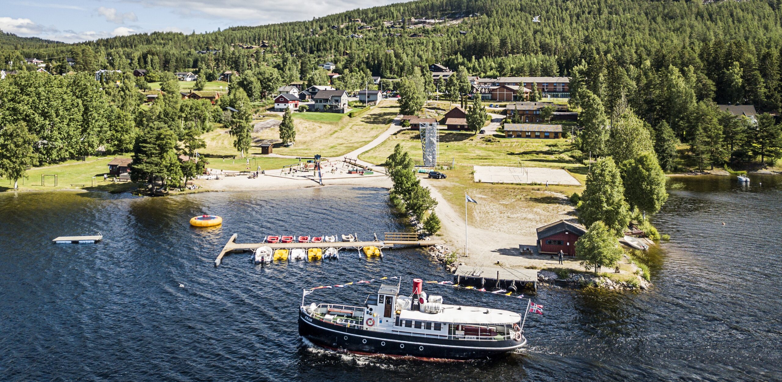
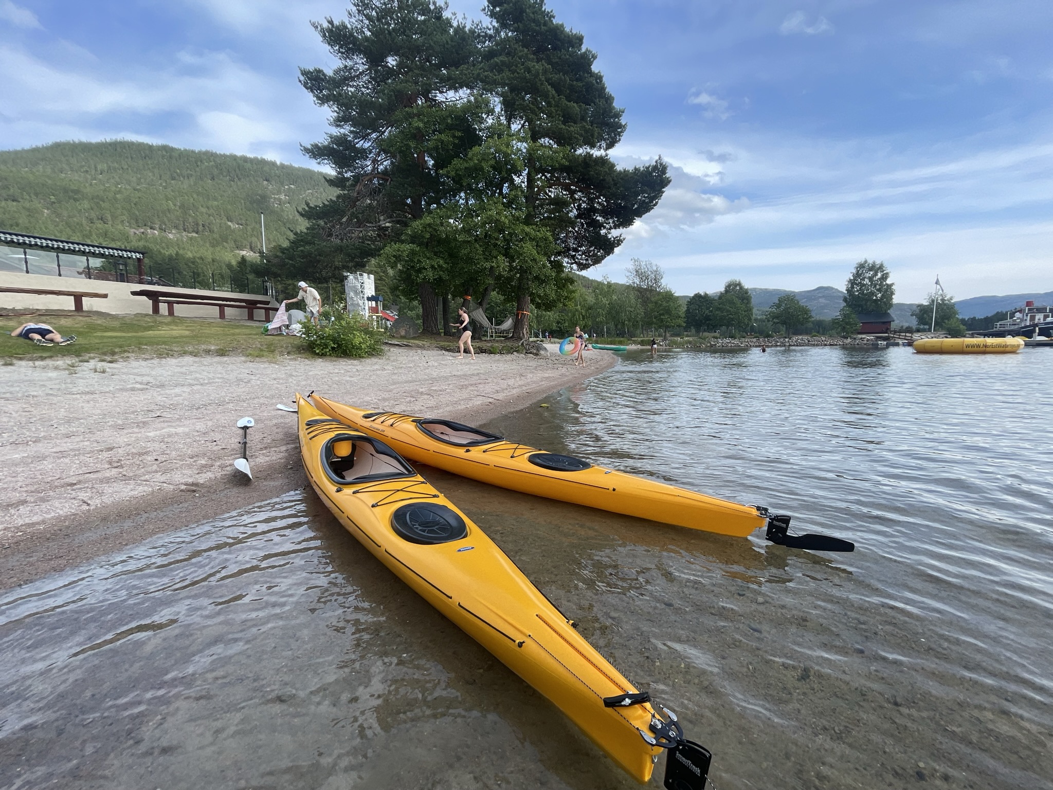
Ruta går langs land på flatt vann og du får oppleve Vrådal fra en ny side. Nyt denne turen gjerne tidlig om morgenen eller ta deg en kveldstur.