Route 3

Bandak around

This is the tour for those who want a great “asphalt tour”, where the bends come close. The first stage goes to Dalen, with fantastic “serpentine turns”. Here you can really practice your cornering technique.

The route is defined as easy

Routes defined as easy are suitable for everyone regardless of experience.

Length
103 km

Popularity
7.5 av 10

Assessed by the number of clicks on this page in the last two weeks compared to all Hubriding routes.

Route 3: Bandak around

 Route-3-Bandak-rundtny.gpx  137 KB
Download

It is recommended that the GPS is set to select the fastest route and any avoidance turned off for the route to be calculated as described.

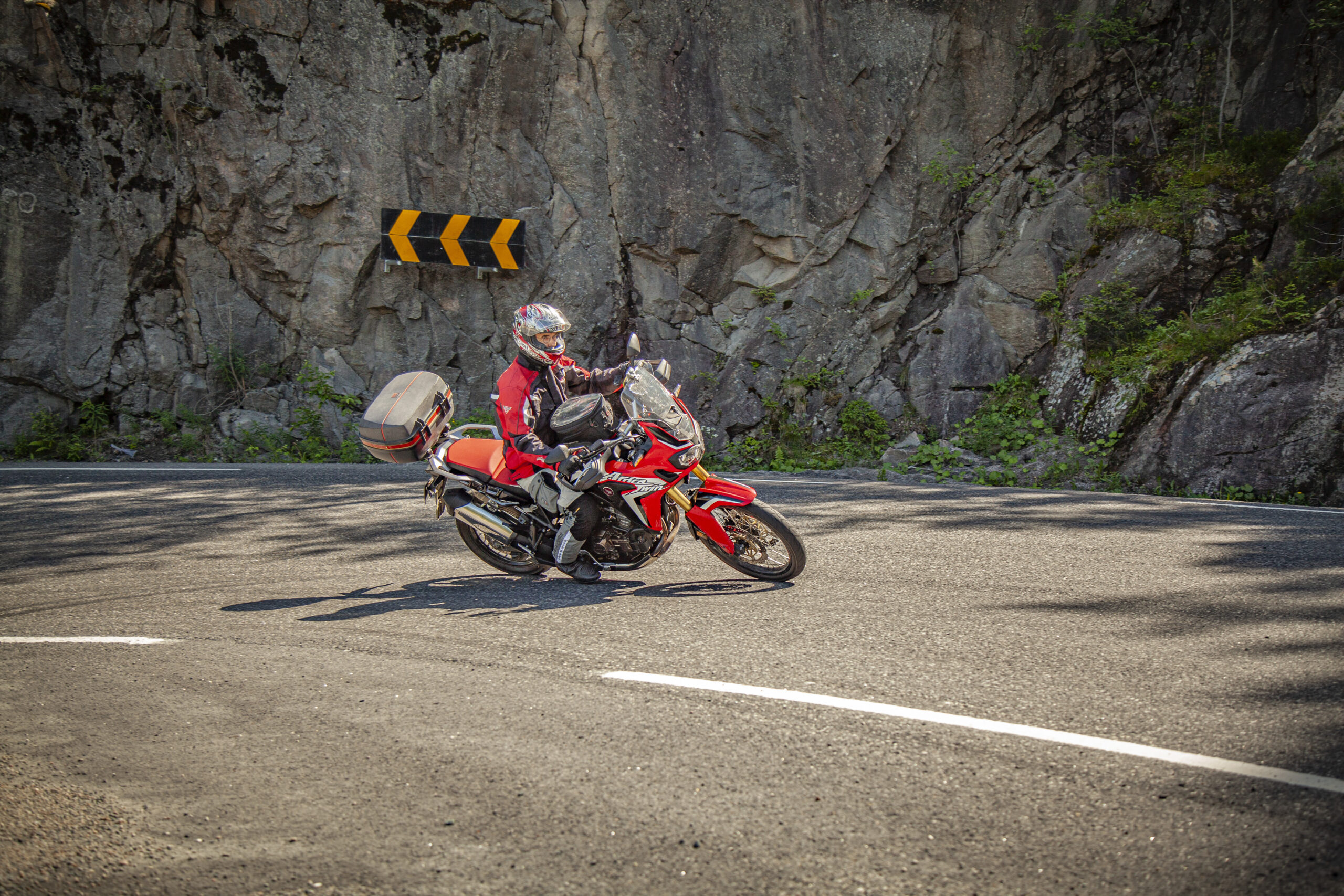
Great "asphalt tour" where the turns come close. Lots of great sights make this a trip you can make many stops on. The route ends up the famous Kviteseidkleivene before you reach Vrådal and Straand Hotel.

Eidsborgberget up towards Høydalsmo is fun to drive. At the top of Eidsborgberget you’ll find Vest-Telemark Museum and Eidsborg Stave Church. It’s worth making a stop here. The stave church is one of Norway’s smallest and is a living church, including as a popular place for weddings. You’ll meet brides and grooms on the church hill almost every weekend in the summer. You’ll also find one of the world’s oldest wooden buildings and a rich activity park with a 105 meter long model of the Telemark Canal.

From Høydalsmo, it’s a short drive on the main road before you turn off to Kviteseid via the village of Dalane. This is a much less busy road, with super turns through the nature of Telemark. When you arrive in Kviteseid, visit Kafe Hvidesøe before tackling the famous Kviteseid climbs. There, your cornering technique will be honed on the countless bends, before you drive down to Vrådal for a good lunch, or enjoy a glass of wine on the “after-bike” terrace if the weather permits. And it often does in Vrådal.

If you’re in a hurry and don’t want to stop when you get back to Straand, it’s a nice little extension if you continue south along the Bussvikfjord, turn off towards Grova, on to Fjågesund and back along Kvitseidvatnet. On the stretch from Grova to Fjågesund, the dampers get a good workout, but the reward comes from Fjågesund and west along Kvitseidavatnet. Wonderful…”

Support

How can I navigate the route?

This primarily depends on whether you have a GPS installed, navigate by App on your mobile phone or prefer paper printing.
Here we describe the most common workflows:

  • Download the GPX file for the route of your choice to your computer
  • Import the file to your route planning tool (e.g. Garmin’s Basecamp or Tom Tom’s MyDrive)
  • Export the route to your GPS in the usual way
  • Check that the route is calculated correctly in your GPS (It is recommended that the GPS is set to select the fastest route and any avoidance is turned off for the route to be calculated as described).
  • Have a good trip!
  • Download the GPX file for the route of your choice to your mobile phone
  • Send/open the file in the app that belongs to your GPS model (e.g. Garmin’s Drive or Tom Tom’s MyDrive)
  • Send the route to your GPS (follow instructions that come with your GPS and App)
  • Check that the route is calculated correctly in your GPS (It is recommended that the GPS is set to select the fastest route and any avoidance is turned off for the route to be calculated as described).
  • Have a good trip!

Many of the routes on Hubriding use the app Ride with GPS app for route planning and navigation of the routes.
You can download a free version or pay for extended use.
Click on the Send to Device link on the map on this page, when the app has started and you see the current route, press Navigate and then just follow the route.

  • Click on the link in the map on the page and the map will open in a new window
  • Print the map, with or without description
  • Have a good trip!