HubridingTelemarkStraand Hotel

Dramatic Telemark, Long

Route 6

Dramatic Telemark, Long

Our longest tour proposal, so set aside the whole day, as there are lots of great things to see, stop and take in. The trip has one challenging section, from Momrak to Fjone. Here you also need to check the ferry times on the cable ferry that brings you across the strait.

The route is defined as easy

Routes defined as easy are suitable for everyone regardless of experience.

Length
230 km

Popularity
7.5 av 10

Assessed by the number of clicks on this page in the last two weeks compared to all Hubriding routes.

Route 6: Dramatic Telemark, Long

 Route-6_-MERGED-Dramatiske-Telemark-Lang.gpx  252 KB
Download

It is recommended that the GPS is set to select the fastest route and any avoidance turned off for the route to be calculated as described.

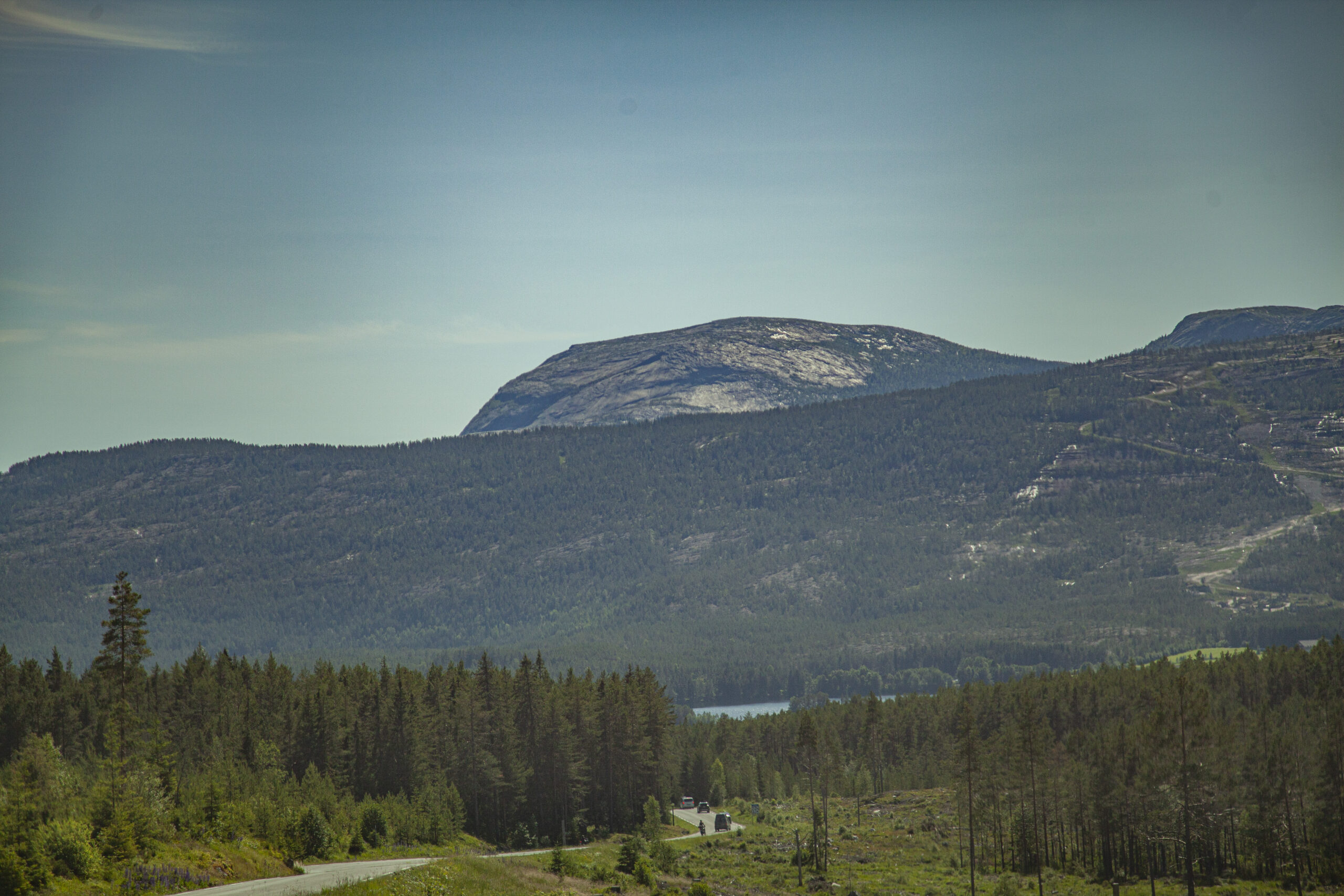
First stage to Fyresdal. Just before Fyresdal, take the exit and drive over to the west side of Fyresdalsvatn. Here you'll drive on beautiful roads along the lake, before turning off and climbing towards the road that will take you along Nesvatn.

This part of the tour is truly a gem. Here you ride in an incredibly beautiful landscape, ranging from high mountains to dramatic valleys. If you’re not smiling inside your helmet when you reach the end of the lake, or for the next few miles, you’ll never smile on an MC…. When you eventually get down to the main road towards Treungen, there will be a small stage of transport before you take off again on fantastic winding roads. The road rises dramatically alongside Fyresdal’s lake, before you descend and take a small road towards Fjone. It’s a toll road, but free for motorcycles. The road is surfaced with loose gravel, so you should have some experience with gravel, or take it easy at the pace you’re comfortable with. The road takes you over the mountain and down to Fjone. There, it’s a good idea to stop for a coffee at the café before the strange little cable ferry takes you across the strait. Then it’s a nice final stage to the hotel with great turn combinations towards the end.

Support

How can I navigate the route?

This primarily depends on whether you have a GPS installed, navigate by App on your mobile phone or prefer paper printing.
Here we describe the most common workflows:

  • Download the GPX file for the route of your choice to your computer
  • Import the file to your route planning tool (e.g. Garmin’s Basecamp or Tom Tom’s MyDrive)
  • Export the route to your GPS in the usual way
  • Check that the route is calculated correctly in your GPS (It is recommended that the GPS is set to select the fastest route and any avoidance is turned off for the route to be calculated as described).
  • Have a good trip!
  • Download the GPX file for the route of your choice to your mobile phone
  • Send/open the file in the app that belongs to your GPS model (e.g. Garmin’s Drive or Tom Tom’s MyDrive)
  • Send the route to your GPS (follow instructions that come with your GPS and App)
  • Check that the route is calculated correctly in your GPS (It is recommended that the GPS is set to select the fastest route and any avoidance is turned off for the route to be calculated as described).
  • Have a good trip!

Many of the routes on Hubriding use the app Ride with GPS app for route planning and navigation of the routes.
You can download a free version or pay for extended use.
Click on the Send to Device link on the map on this page, when the app has started and you see the current route, press Navigate and then just follow the route.

  • Click on the link in the map on the page and the map will open in a new window
  • Print the map, with or without description
  • Have a good trip!