Route 12

The mountain goat

Here we have a real mountain goat of a route that easily takes all day if you take full advantage of the recommended attractions. With a number of corkscrews, hairpin bends, fast sweepers and everything else you dream of, this magical mountain route is more demanding than the distance indicates. There are a total of 6449 meters of altitude to be climbed on the 414 km of asphalt.

The route is defined as hard

Routes defined as demanding are suitable for people with experience in demanding parties.

Length
414 km

Popularity
7.5 av 10

Assessed by the number of clicks on this page in the last two weeks compared to all Hubriding routes.

Route 12: The mountain goat

 Route-12-Fjellgeita-MULTISTRADA.gpx  441 KB
Download

It is recommended that the GPS is set to select the fastest route and any avoidance turned off for the route to be calculated as described.

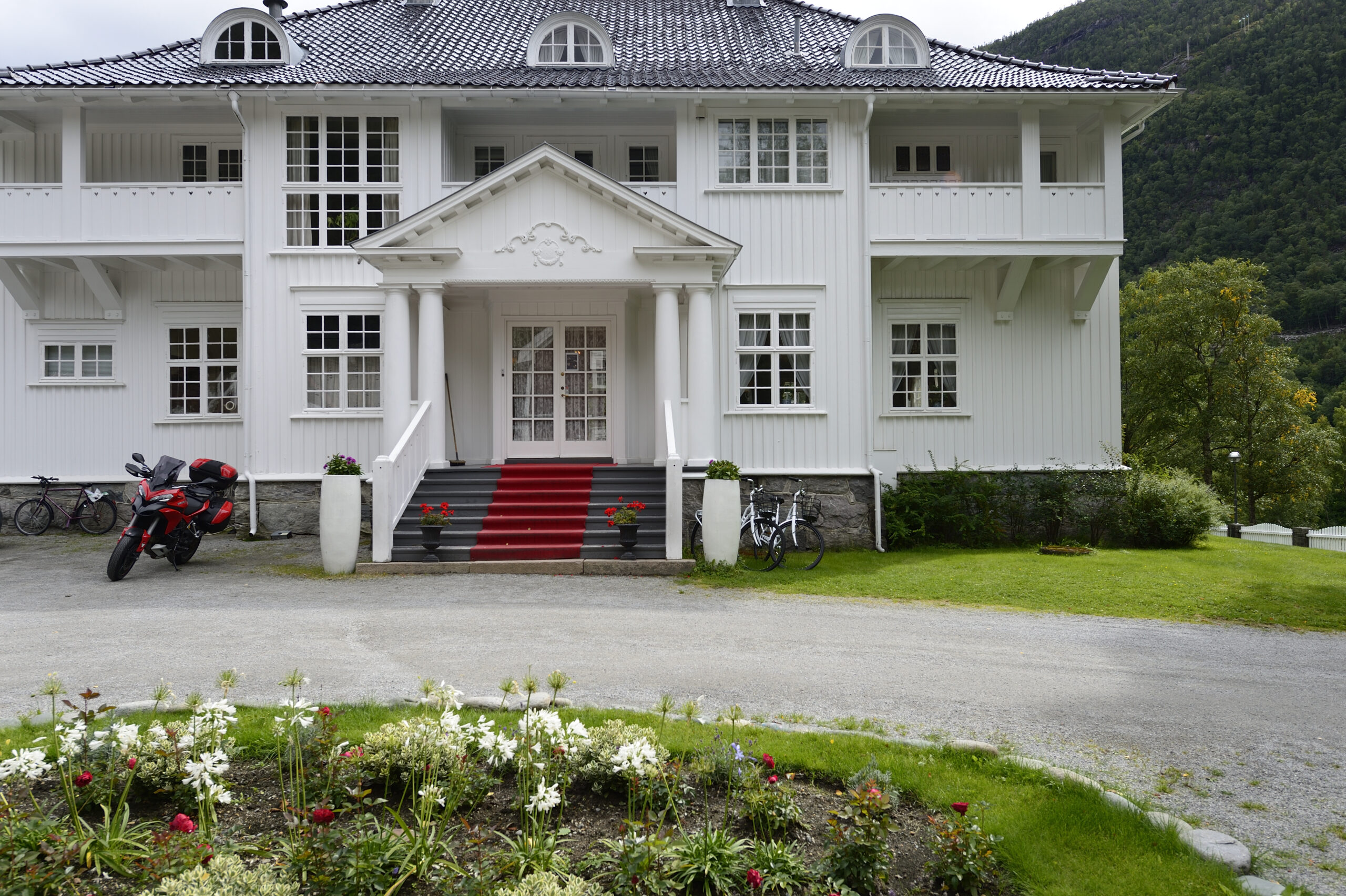
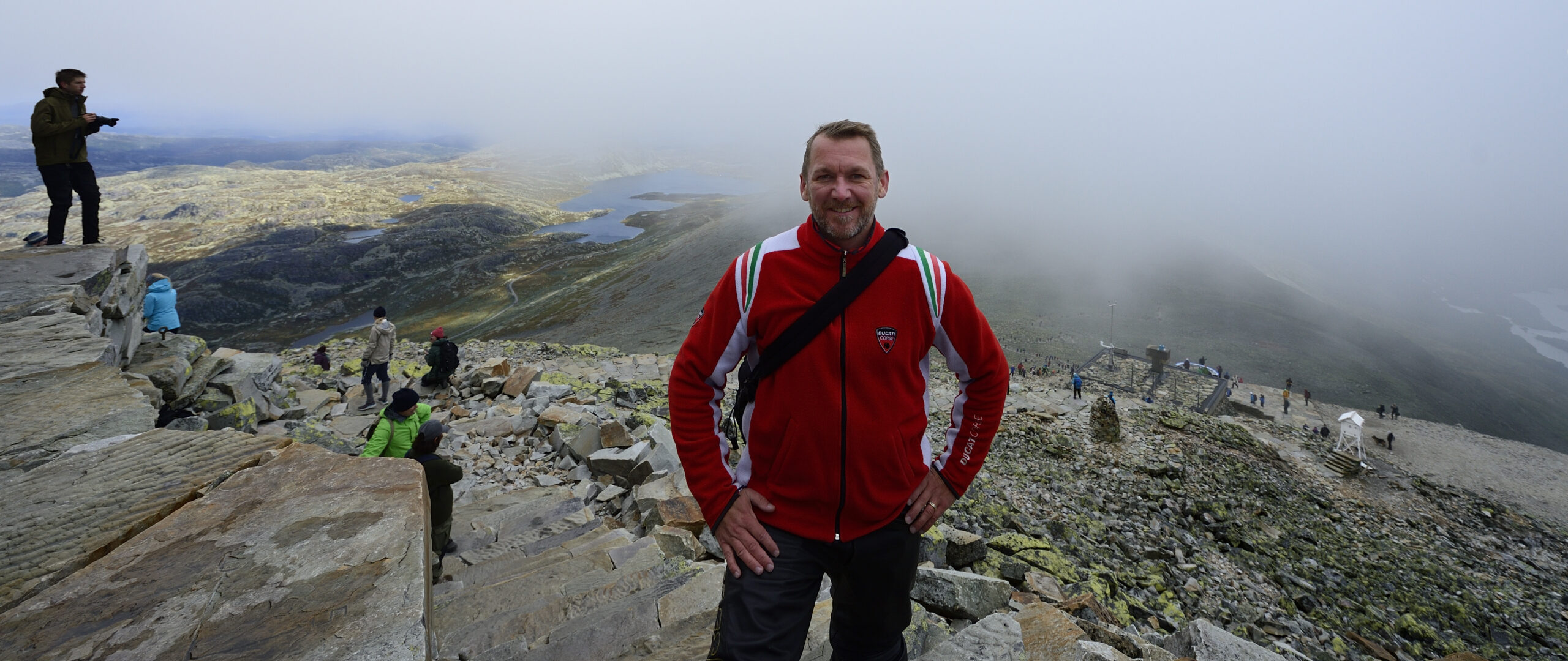
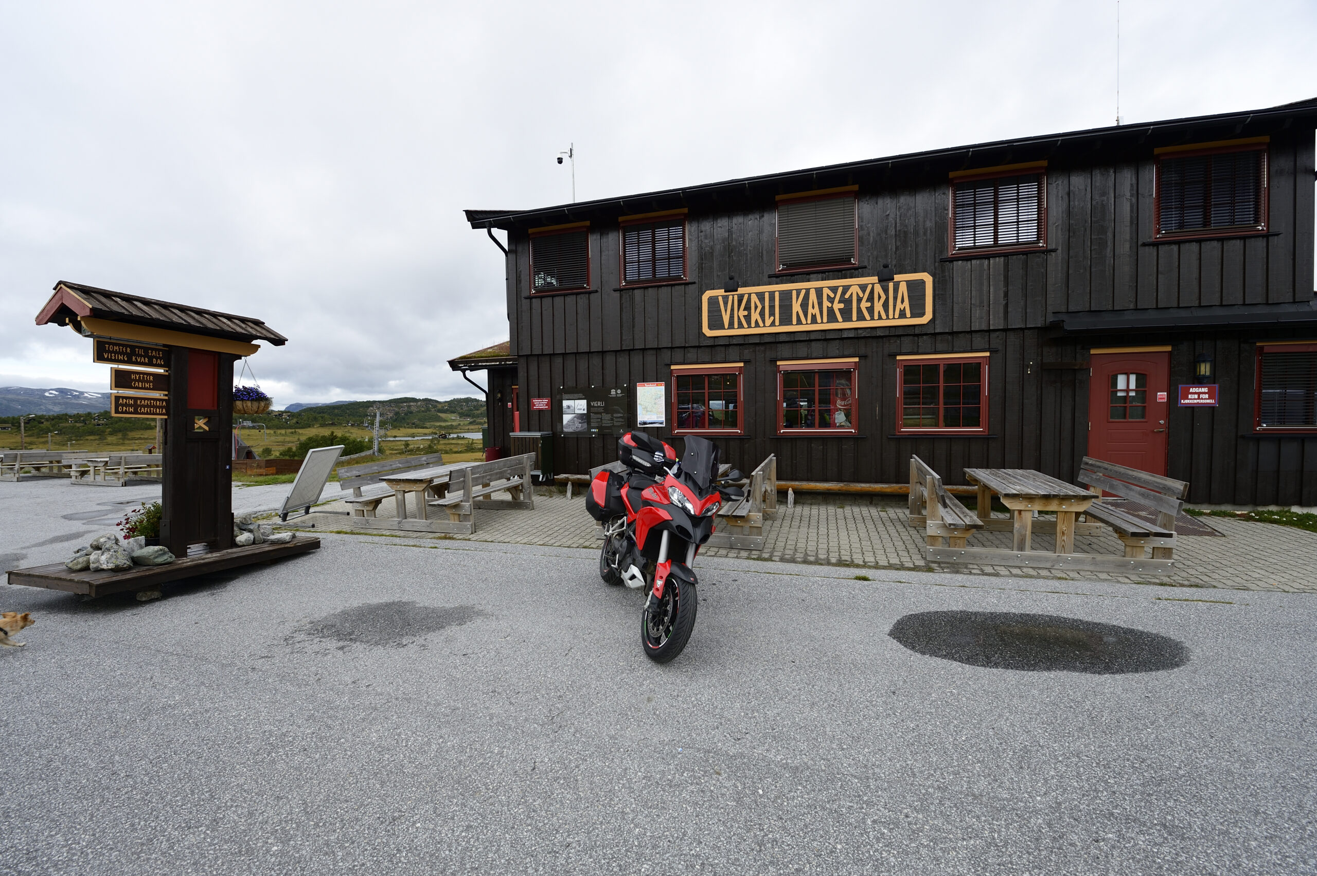
Our highest and northernmost route to date, with the Gaustabanen as the climax. Set aside a couple of hours for this and enjoy one of Norway's best views and possibly the highest waffle press (1830 meters above sea level). A coffee break completely out of the ordinary. On a clear day, you'll be able to see 1/6 of mainland Norway from here.

Gaustatoppen is a popular attraction and waiting time on the track is to be expected, more so on weekends and in high season. An early departure on this route helps as the biggest rush is usually when everyone is going down in the afternoon. Check with the hotel reception before setting off on this route and by all means check the weather forecasts for the mountain passes if you are early or late in the season.

While you’re still grinning in your helmet at the view and the corkscrew down to Rjukan, maybe it’s time for some lunch. Check if you can get a table at Rjukan Admini and you’ll be in for a historic experience and catering you’ll be looking for for a long time. Say hello to Kaja!

With a full tank from Rjukan, we start the next climbing stage, more mountains and the approximately 4 hours back to Vrådal. Over Rauland we take a break at Vierli Cafeteria before we glide on through Haukeli, Hovden in Setesdal and end the day in majestic fashion; Along Vråvatn with a low sun behind us leading the way to the well-deserved cold that is waiting on the terrace at Straand Hotel.

Support

How can I navigate the route?

This primarily depends on whether you have a GPS installed, navigate by App on your mobile phone or prefer paper printing.
Here we describe the most common workflows:

  • Download the GPX file for the route of your choice to your computer
  • Import the file to your route planning tool (e.g. Garmin’s Basecamp or Tom Tom’s MyDrive)
  • Export the route to your GPS in the usual way
  • Check that the route is calculated correctly in your GPS (It is recommended that the GPS is set to select the fastest route and any avoidance is turned off for the route to be calculated as described).
  • Have a good trip!
  • Download the GPX file for the route of your choice to your mobile phone
  • Send/open the file in the app that belongs to your GPS model (e.g. Garmin’s Drive or Tom Tom’s MyDrive)
  • Send the route to your GPS (follow instructions that come with your GPS and App)
  • Check that the route is calculated correctly in your GPS (It is recommended that the GPS is set to select the fastest route and any avoidance is turned off for the route to be calculated as described).
  • Have a good trip!

Many of the routes on Hubriding use the app Ride with GPS app for route planning and navigation of the routes.
You can download a free version or pay for extended use.
Click on the Send to Device link on the map on this page, when the app has started and you see the current route, press Navigate and then just follow the route.

  • Click on the link in the map on the page and the map will open in a new window
  • Print the map, with or without description
  • Have a good trip!