Route 1

Silk road

This is one of our favorites when it comes to tour suggestions. Set aside the whole day, there are lots of great things to see, stop and take in. The tour has a great range and a fantastic finish along the canal road and up Kviteseidkleivene. Here you just have to enjoy the run-in.

The route is defined as normal

Routes defined as normal are suitable for most people who have experience with somewhat demanding sections.

Tid
4:15 timer

Length
237 km

Popularity
7.5 av 10

Assessed by the number of clicks on this page in the last two weeks compared to all Hubriding routes.

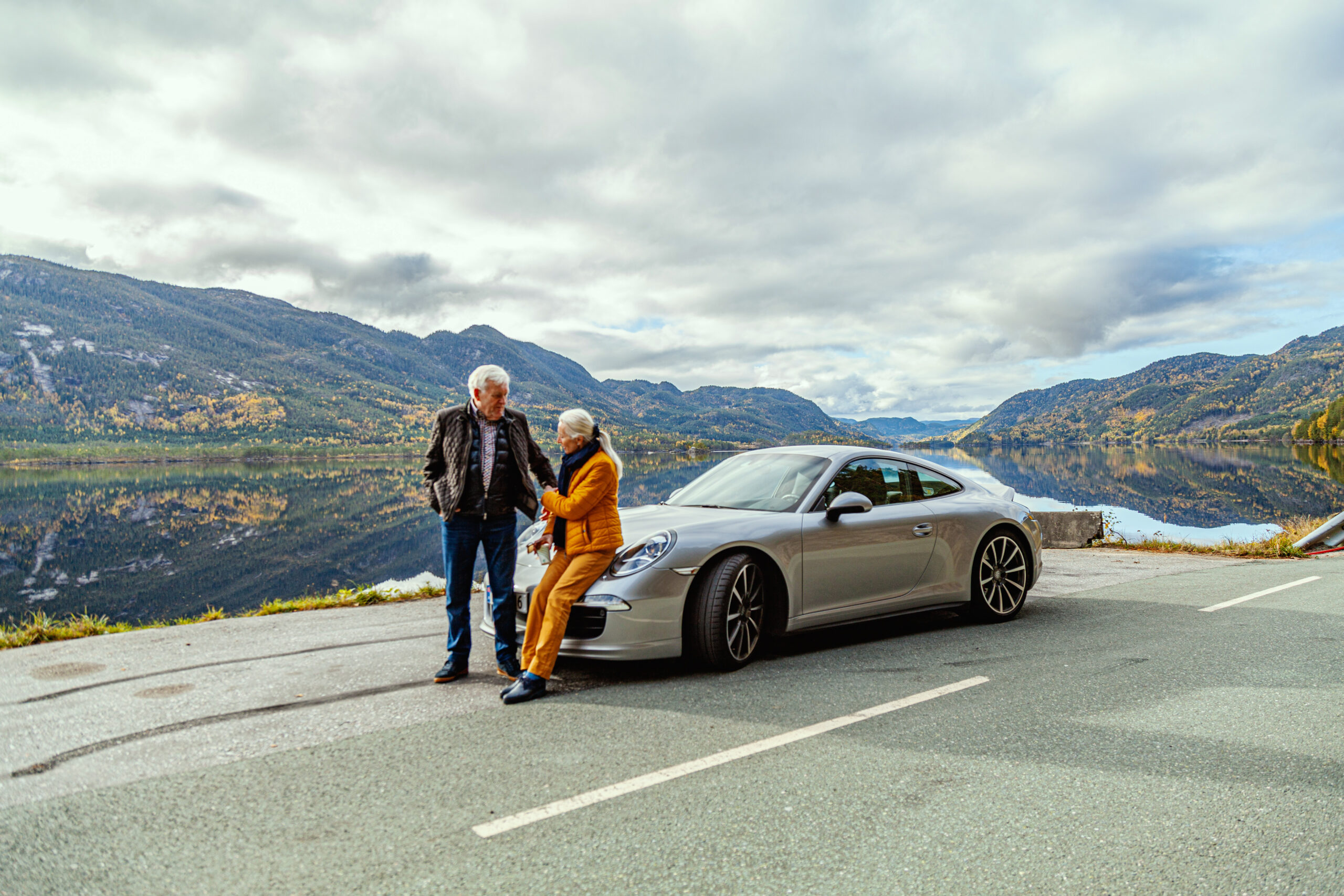
The first leg is to Fyresdal and we recommend a stop at Hamaren Activity Park for a stroll through the popular and spectacular activity park and on into the medieval town of Øyskogen and the charming Folkestabyen. Drive back the way you came and then drive over to the west side of Fyresdalsvatn. Here you'll drive on beautiful roads along the lake, before turning off and climbing towards the road that will take you along Nesvatn.

Local gas stations delivering 98 octane

Check out the Norwegian-developed app Refuel provided by AMCAR in collaboration with High Octane AS for iOS and Android phones.

This trip is truly a gem. You’ll drive through incredibly beautiful landscapes, ranging from high mountains to dramatic valleys and along the Telemark Canal. Anyone who doesn’t smile when driving along these lakes or the delightful climbs will never know the true joy of driving 😊 When you eventually get down to the main road towards Treungen, there will be a small stage of transportation before you take off again on fantastic winding roads. We recommend a stop at the Z Museum before driving on up to Gautefall. There are some nice straight stretches, before you descend to Bostrak and Sputnik’s museum, feel free to grab a waffle at Sputnik before continuing towards Grova and over Fjågesundsheia. The finish is a fantastic adventure route along the Telemark Canal and the finish up Kviteseidkleivene is pure driving pleasure. Enjoy the hairpin bends and feel the true joy of driving. Then it’s a nice final stage down to the hotel with great turn combinations towards the end. The car is parked and an afterdrive on the terrace in the sun is recommended.

Support

How can I navigate the route?

This primarily depends on whether you have a GPS installed, navigate by App on your mobile phone or prefer paper printing.
Here we describe the most common workflows:

  • Download the GPX file for the route of your choice to your computer
  • Import the file to your route planning tool (e.g. Garmin’s Basecamp or Tom Tom’s MyDrive)
  • Export the route to your GPS in the usual way
  • Check that the route is calculated correctly in your GPS (It is recommended that the GPS is set to select the fastest route and any avoidance is turned off for the route to be calculated as described).
  • Have a good trip!
  • Download the GPX file for the route of your choice to your mobile phone
  • Send/open the file in the app that belongs to your GPS model (e.g. Garmin’s Drive or Tom Tom’s MyDrive)
  • Send the route to your GPS (follow instructions that come with your GPS and App)
  • Check that the route is calculated correctly in your GPS (It is recommended that the GPS is set to select the fastest route and any avoidance is turned off for the route to be calculated as described).
  • Have a good trip!

Many of the routes on Hubriding use the app Ride with GPS app for route planning and navigation of the routes.
You can download a free version or pay for extended use.
Click on the Send to Device link on the map on this page, when the app has started and you see the current route, press Navigate and then just follow the route.

  • Click on the link in the map on the page and the map will open in a new window
  • Print the map, with or without description
  • Have a good trip!