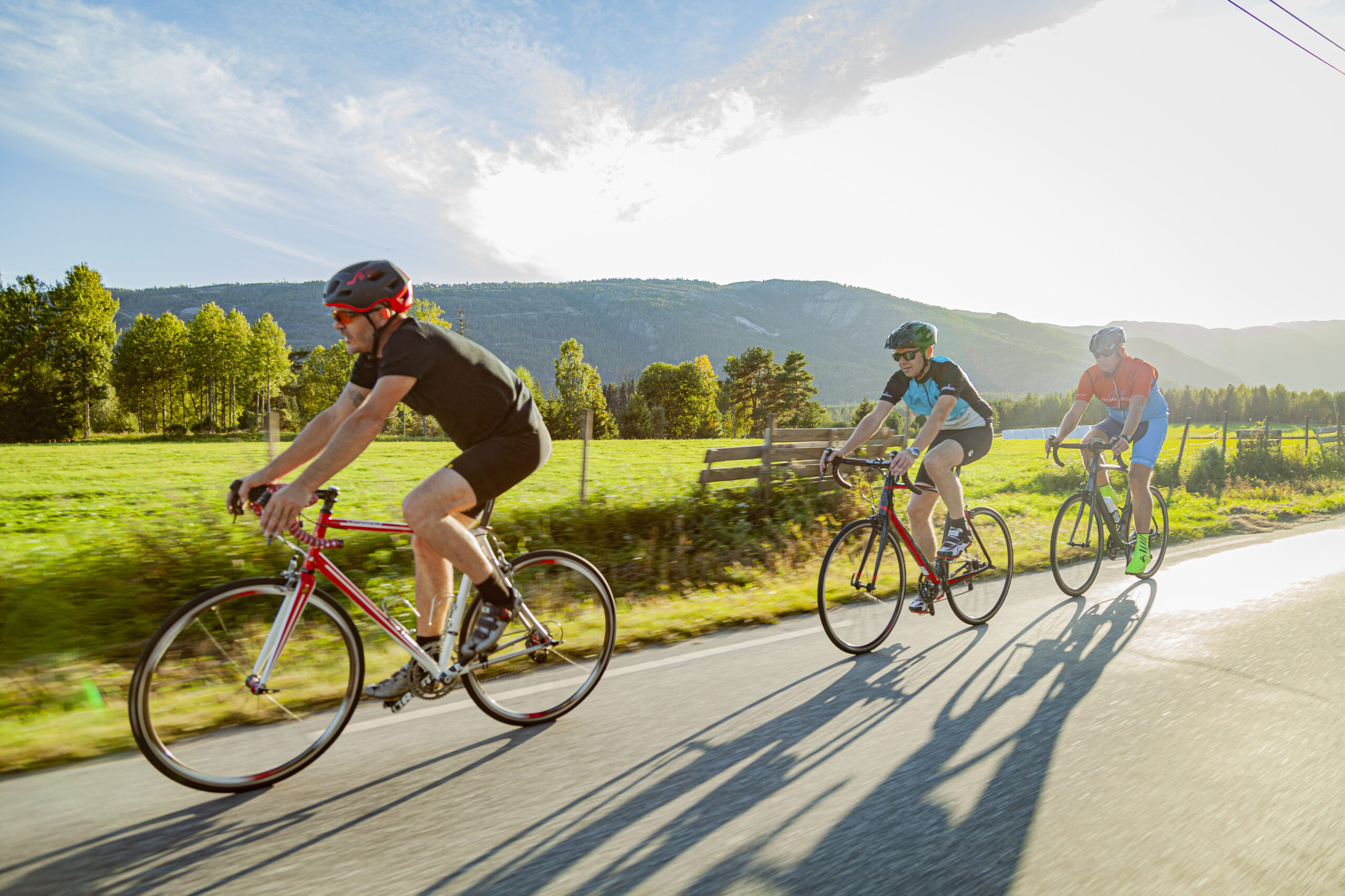
The route is defined as easy
Routes defined as easy are suitable for everyone regardless of experience.Length
103 km
Popularity
4.2 av 10
Route 1: Bandak around
It is recommended that the GPS is set to select the fastest route and any Avoidance turned off for the route to be calculated as described.
From Straand Hotel, the road heads east over the ridge to the famous Kvitseidkleivene cliffs, which offer speed training and polishing of cornering technique down the cliffs.
When you reach Kviteseidvatnet lake, you’ll pass two bridges before turning left to get down to the very charming Kviteseidbyen. It’s a little early for a coffee, but the place is definitely worth getting to know. From here you drive up Dalanvegen. Dalanvegen winds upwards with a nice steady climb through a beautiful and narrow valley with beautiful mountains on both sides and you come up to the E134. From here, you can drive a nice fast stage in a gentle climb on a beautiful and wide road with wide road shoulders to Høydalsmo, where it might be time for a break and a refill of some food and drink. In Høydalsmo, turn left towards Dalen. From Høydalsmo, the road to Eidsborg is hilly and winding. In Eidsborg, we recommend stopping at Eidsborg Stave Church, which dates from the 13th century and is one of Norway’s smallest stave churches. And which should definitely be experienced together with Vest-Telemark museum. From Eidsborg, the descent to Dalen starts. This descent is quite intense and offers both speed, speed technique, cornering technique and experiences. When you get down to Dalen, the well-known Dalen Hotel is something that should definitely be experienced. At Dalen you can have lunch, fill up your bag or just keep going. From Dalen, turn left onto Rv 38 and head straight up the cliffs to Holtebru. The road up from Dalen is a climbing stage of approx. 4 km and approx. 12% gradient at its steepest. This means a lot of altitude and perhaps some heavy legs as you approach the top. If you have time, you will pass many beautiful viewpoints that you will remember! RV 38 or Skafsåvegen takes you around Åmdals Verk to Vråliosen on winding and hilly roads in wonderful nature. On this stretch, the asphalt quality is not the best, but more than good enough to drive fast on a road bike. Lots of terrain, and a third descent down to charming Vråliosen that leads you into the final speed stage along beautiful Vråvatn into Vrådal. Here you can thunder along in beautiful bends along the lake, or slow down to get the altitude meters washed out of your legs while enjoying the visual impressions. It’s a wonderful route that satisfies many different needs for training or hiking.
Support
This primarily depends on whether you have a GPS installed, navigate by App on your mobile phone or prefer paper printing. Here we describe the most common workflows:
Many of the routes on Hubriding use the app Ride with GPS app for route planning and navigation of the routes. You can download a free version or pay for extended use. Click on the Send to Device link on the map on this page, when the app has started and you see the current route, press Navigate and then just follow the route.