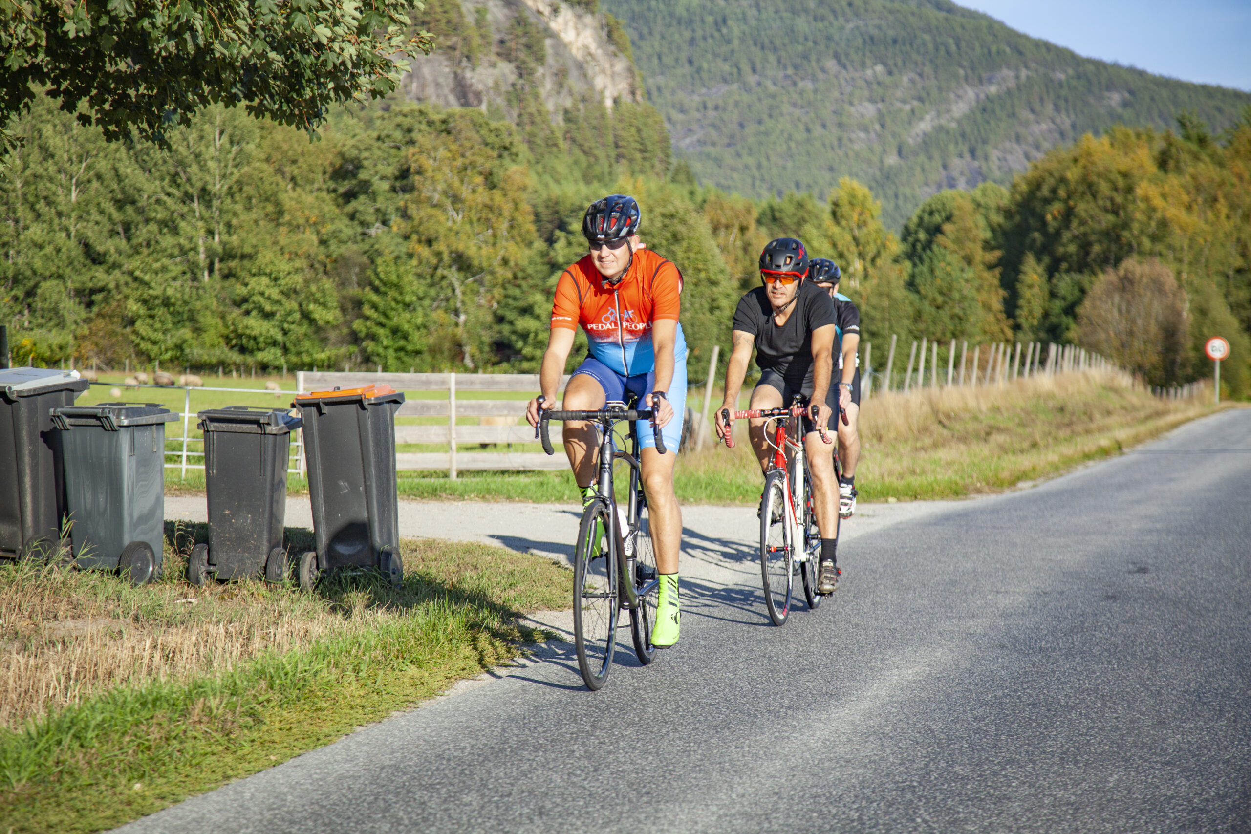
The route is defined as demanding
Routes defined as demanding are suitable for people with experience in demanding parties.Length
57 km
Popularity
7.5 av 10
Route 3: The mountain passes
It is recommended that the GPS is set to select the fastest route and any Avoidance turned off for the route to be calculated as described.
Although route 3 is not one of the longest routes, it is varied, intense and characterized by extremes of climbing, steep descents and beautiful scenery.
You drive south on a flat section down to Steane where the climb starts.
The first “mountain pass” is on the road from Steane and over to Grova.
The road over to Grova offers some climbing before you enter a relatively easy section that offers great visual impressions.
When you arrive at Grova, turn left onto Fv304 and Fjågesundvegen, which goes over to Fjågesund.
At Grova you enter the second “mountain pass” of the day.
Here there is a fairly hard climb of approx.
8.5 km and approx.
400 vertical meters and where some parts are up to 10-11% gradient before you reach the top.
So here you get to test out all the gears on the bike.
The descent to Fjågesund offers perhaps the greatest speed contribution down towards the beautiful farms in Fjågesund.
From here, the route continues towards Kviteseid and Kviteseid Bygdetun in somewhat hilly terrain through beautiful sections along Kvitseidvatnet.
You can make a quick stop at Kviteseid Bygdetun if you wish. Kviteseid Bygdetun is one of the country’s oldest community centers and was established in 1907.
Support
This primarily depends on whether you have a GPS installed, navigate by App on your mobile phone or prefer paper printing. Here we describe the most common workflows:
Many of the routes on Hubriding use the app Ride with GPS app for route planning and navigation of the routes. You can download a free version or pay for extended use. Click on the Send to Device link on the map on this page, when the app has started and you see the current route, press Navigate and then just follow the route.