The route is defined as easy
Routes defined as easy are suitable for everyone regardless of experience.Length
117 km

Popularity
4.6 av 10

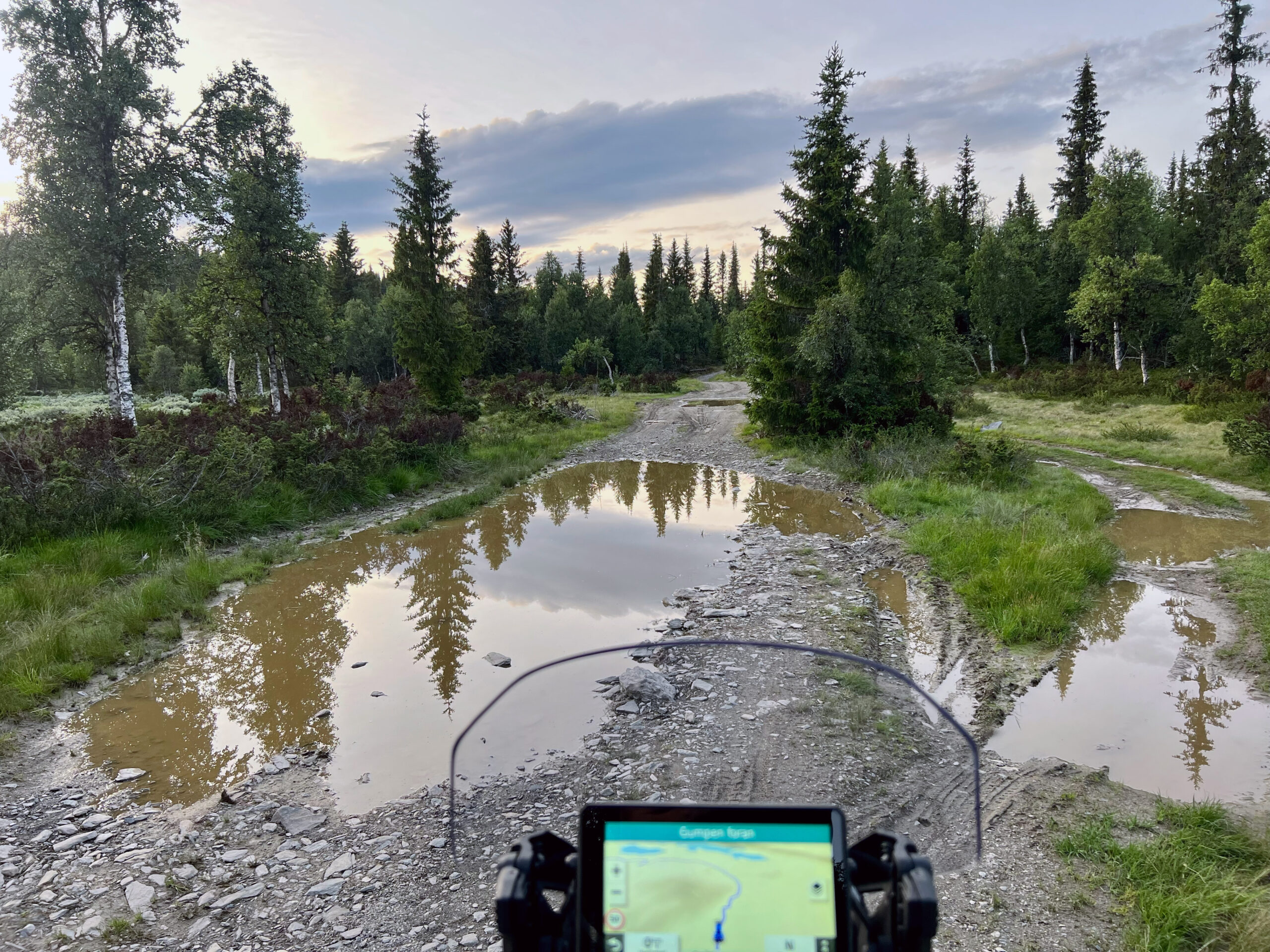
It is recommended that the GPS is set to select the fastest route and any Avoidance turned off for the route to be calculated as described.
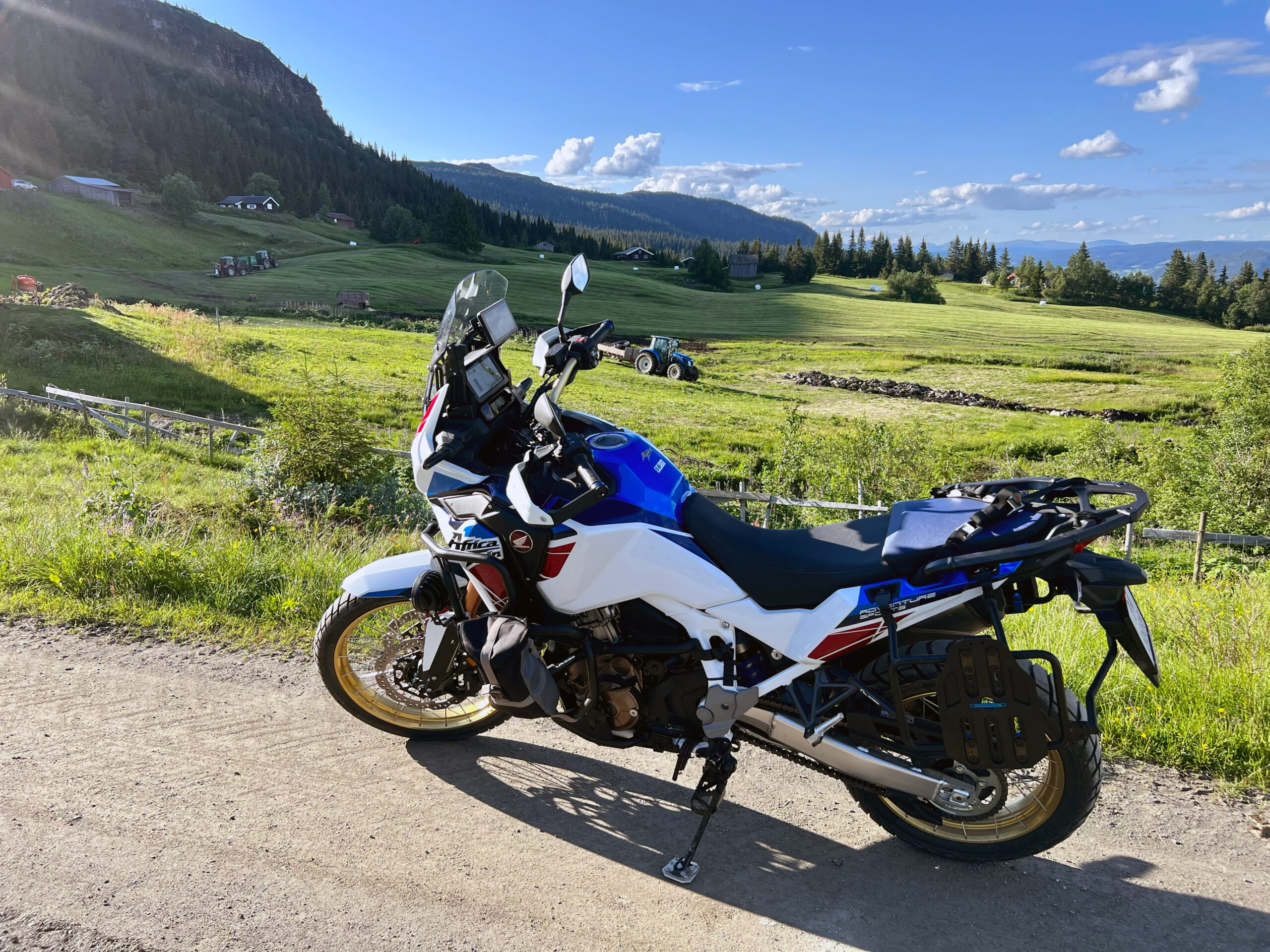
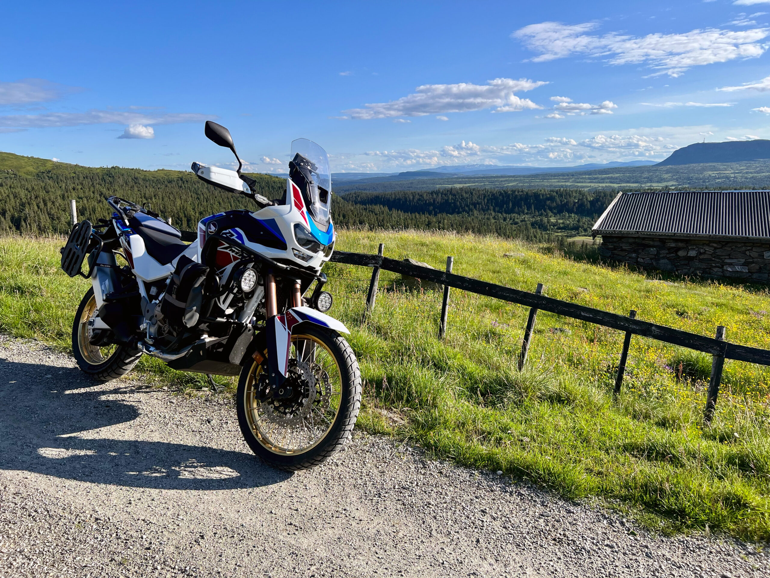
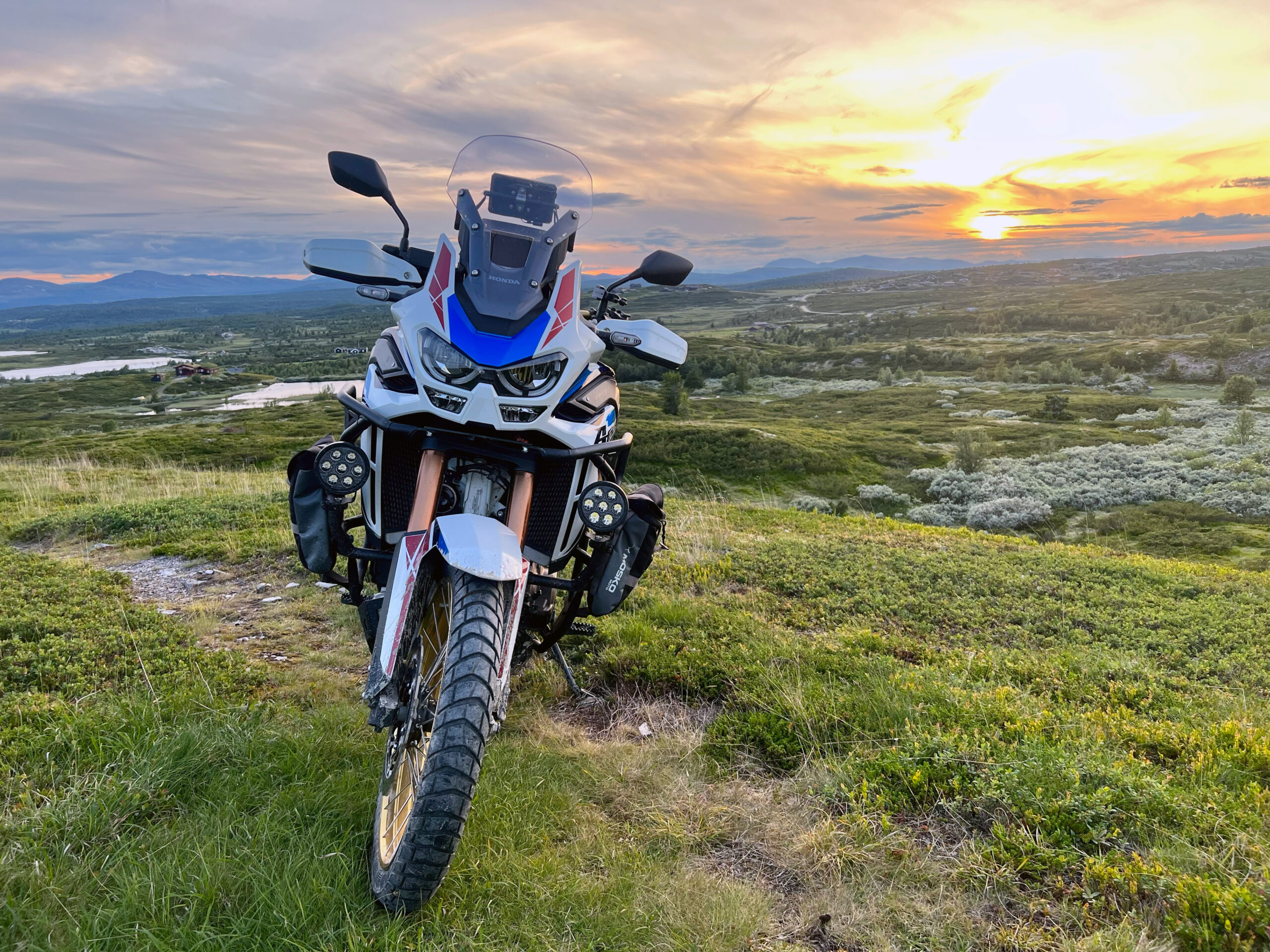
The tour around Svinslåa just west of Kvitfjell is a beautiful warm-up round in the eftassol where you start and end with asphalt, but have many miles of incredibly nice mountain roads on gravel.