HubridingGranavolden

Harestua-Granavollen East

Route 5

Harestua-Granavollen East

This tour is great as part of a multi-day tour starting in Harestua (car or train).

The route is defined as hard

Routes defined as demanding are suitable for people with experience in demanding parties.

Time
4:00 hours

Length
48 km

Popularity
7.5 av 10

Assessed by the number of clicks on this page in the last two weeks compared to all Hubriding routes.

Route 5: Harestua-Granavollen East

 Harestua-Solobservatoriet-Granavollen.gpx  97 KB
Download

It is recommended that the GPS is set to select the fastest route and any avoidance turned off for the route to be calculated as described.

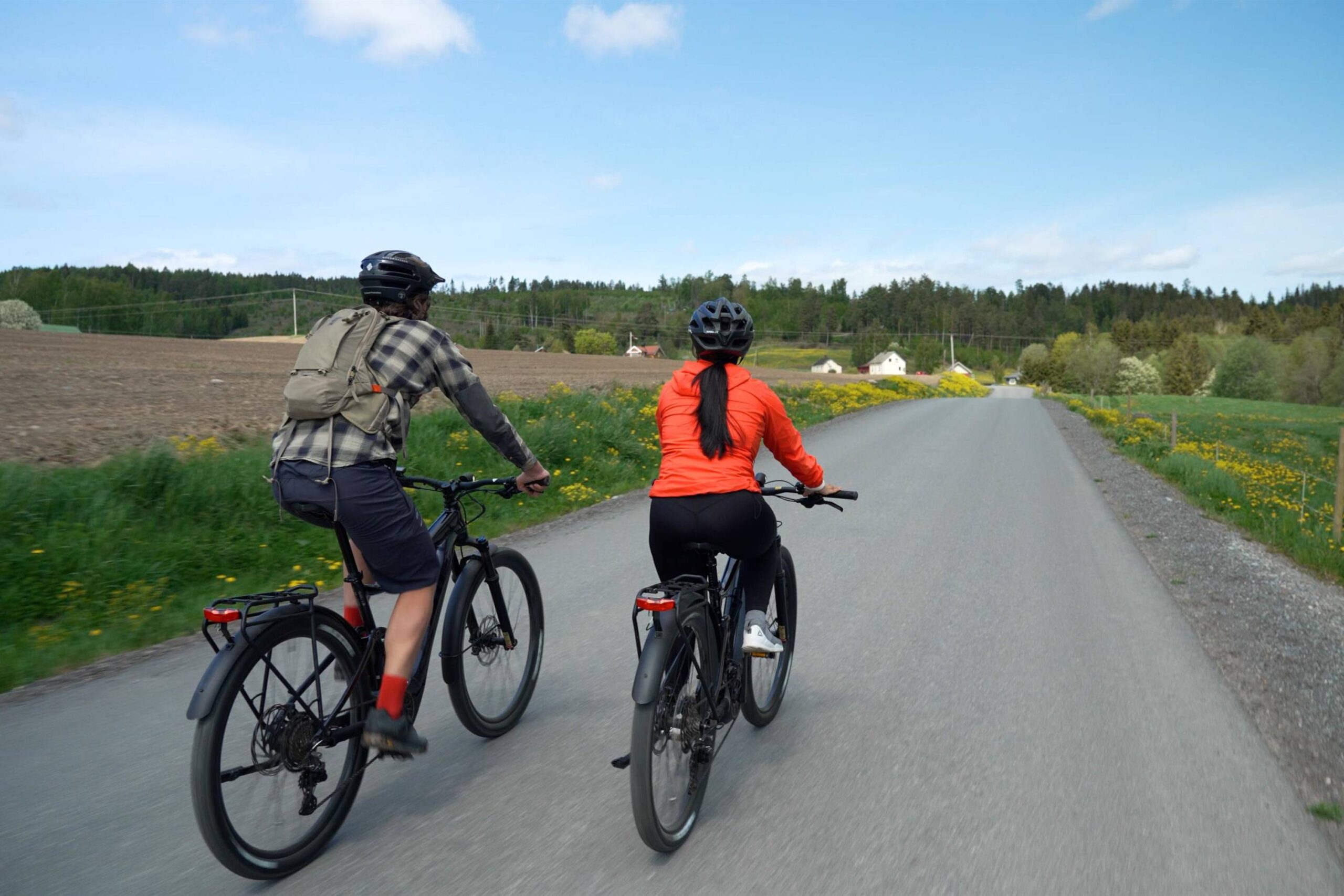
This tour is 48 kilometers long and is suitable for those who want a demanding challenge. You should expect around 1,000 vertical meters in total, and the surface alternates between asphalt and gravel. This makes for a varied cycling experience, but also places demands on both fitness and technique.

The route is somewhat demanding due to the altitude, surface and distance. However, the route can be shortened in several places. There may be some traffic on the roads and some steep climbs.

Support

How can I navigate the route?

This primarily depends on whether you have a GPS installed, navigate by App on your mobile phone or prefer paper printing.
Here we describe the most common workflows:

  • Download the GPX file for the route of your choice to your computer
  • Import the file to your route planning tool (e.g. Garmin’s Basecamp or Tom Tom’s MyDrive)
  • Export the route to your GPS in the usual way
  • Check that the route is calculated correctly in your GPS (It is recommended that the GPS is set to select the fastest route and any avoidance is turned off for the route to be calculated as described).
  • Have a good trip!
  • Download the GPX file for the route of your choice to your mobile phone
  • Send/open the file in the app that belongs to your GPS model (e.g. Garmin’s Drive or Tom Tom’s MyDrive)
  • Send the route to your GPS (follow instructions that come with your GPS and App)
  • Check that the route is calculated correctly in your GPS (It is recommended that the GPS is set to select the fastest route and any avoidance is turned off for the route to be calculated as described).
  • Have a good trip!

Many of the routes on Hubriding use the app Ride with GPS app for route planning and navigation of the routes.
You can download a free version or pay for extended use.
Click on the Send to Device link on the map on this page, when the app has started and you see the current route, press Navigate and then just follow the route.

  • Click on the link in the map on the page and the map will open in a new window
  • Print the map, with or without description
  • Have a good trip!