Route 4

Lista fyr

Route 4 is therefore suitable for anyone who prefers a solid surface under the wheels and otherwise offers the same experiences. We’re just as excited about this route, which we categorize as one of the best we’ve ever made in the context of HUBriding. Route 4 puts a smile on your face and at times you’ll be laughing to yourself inside your helmet. The more we drive south in Rogaland and Agder, the more excited we get. You just have to experience this as a motorcyclist.

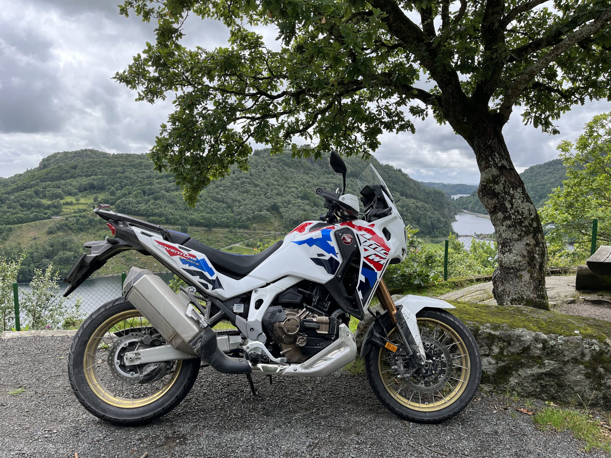
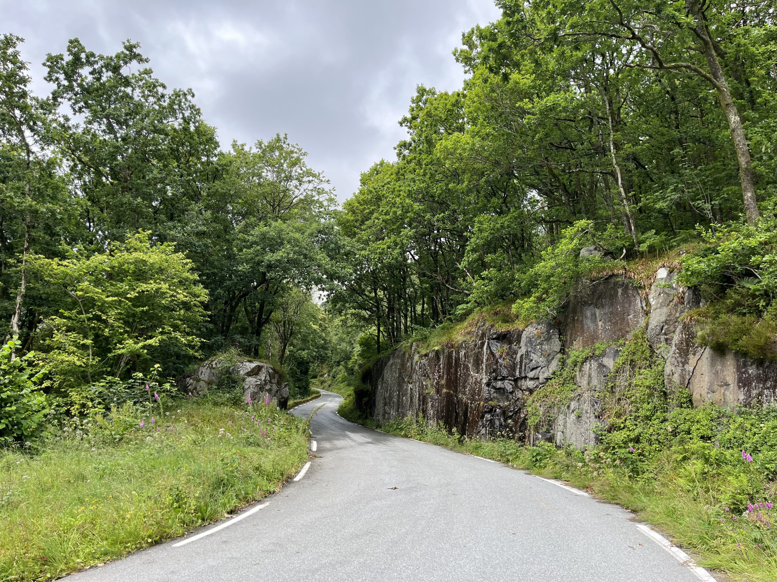
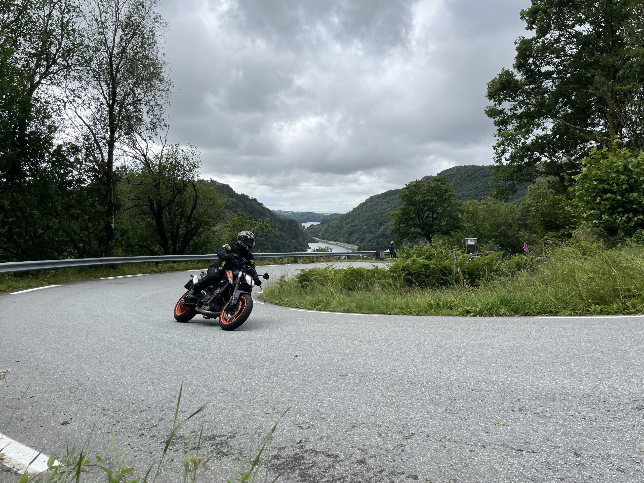
The route is defined as normal

Routes defined as normal are suitable for most people who have experience with somewhat demanding sections.

Time
4:06 hours

Length
234 km

Popularity
7.5 av 10

Assessed by the number of clicks on this page in the last two weeks compared to all Hubriding routes.

On this tour, you'll accumulate a total of 4,363 meters of altitude, which is noticeable in some parts of the round trip. There are lots of ups and downs as well as thousands of wonderful bends.

Route 4 is therefore almost identical to route 3, but differs from it in that you are not introduced to sections of gravel. Here there is only asphalt. Otherwise, the route offers exactly the same as route 3 and here you will probably use all the familiar driving techniques on the way around. In sections with bends, it’s important to let your eyes guide your track choices, sit loosely and freely and feel free to use your body to find a smooth balance of mass and weight in the tight bends. If you can find the flow in this terrain, you will experience and feel pure happiness and this masterpiece of a route is definitely in the amusement park category.

The turns and terrain can be quite intense at times, so we recommend that you take plenty of time to eat and drink and not least rest. Over the course of the day, you’ll drive thousands of bends of all kinds and you’re guaranteed to have a great time. Towards the end of the route, you’ll take off from Moi and drive into a spectacular terrain that can only be described as a “cornering mecca”. Here, you’re guaranteed to take a turn before you find a good flow and feel the blood literally rushing.

This just has to be experienced.

Support

How can I navigate the route?

This primarily depends on whether you have a GPS installed, navigate by App on your mobile phone or prefer paper printing. Here we describe the most common workflows:

  • Download the GPX file for the route of your choice to your computer
  • Import the file to your route planning tool (e.g. Garmin’s Basecamp or Tom Tom’s MyDrive)
  • Export the route to your GPS in the usual way
  • Check that the route is calculated correctly in your GPS (It is recommended that the GPS is set to select the fastest route and any avoidance is turned off for the route to be calculated as described).
  • Have a good trip!
  • Download the GPX file for the route of your choice to your mobile phone
  • Send/open the file in the app that belongs to your GPS model (e.g. Garmin’s Drive or Tom Tom’s MyDrive)
  • Send the route to your GPS (follow instructions that come with your GPS and App)
  • Check that the route is calculated correctly in your GPS (It is recommended that the GPS is set to select the fastest route and any avoidance is turned off for the route to be calculated as described).
  • Have a good trip!

Many of the routes on Hubriding use the app Ride with GPS app for route planning and navigation of the routes. You can download a free version or pay for extended use. Click on the Send to Device link on the map on this page, when the app has started and you see the current route, press Navigate and then just follow the route.

  • Click on the link in the map on the page and the map will open in a new window
  • Print the map, with or without description
  • Have a good trip!