Route 3
Around the Lustrafjord
The route is defined as easy
Routes defined as easy are suitable for everyone regardless of experience.Length
244 km
Popularity
7.5 av 10
Route 3: Around the Lustrafjord
It is recommended that the GPS is set to select the fastest route and any avoidance turned off for the route to be calculated as described.
You start on the Sognefjellsveien (highway 55), which is one of Norway's national tourist routes.
From the green meadows and lush cultural landscape in Lom, you can see the mighty mountains in the distance as you drive up Bøverdalen.
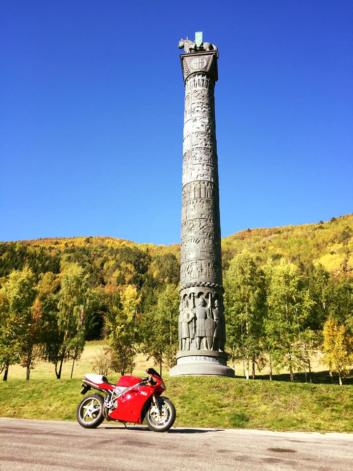
On the way, you'll pass Sagasøylen, which at 34 meters is one of the tallest pillars in the world.
The road rises further up to the summit at 1434 meters above sea level.
which makes Sognefjellet the highest mountain pass in Northern Europe.
The spectacular descent to Skjolden starts from the summit at Sognefjellshytta.
Here you’ll experience a change of both scenery and temperature from the high mountains of Jotunheimen to the lush coastal climate of Sognefjord.
The road winds down the mountain past Turtagrø and down to Fortun through fun hairpin bends.
From Fortun, you are immediately in Skjolden, and it is now about 80 km since you started in Lom.
Skjolden is located at the end of the Lustrafjord, which is part of Norway’s longest fjord, the Sognefjord.
In Skjolden, turn left onto the historic “romantic road” to Ornes (route 331).
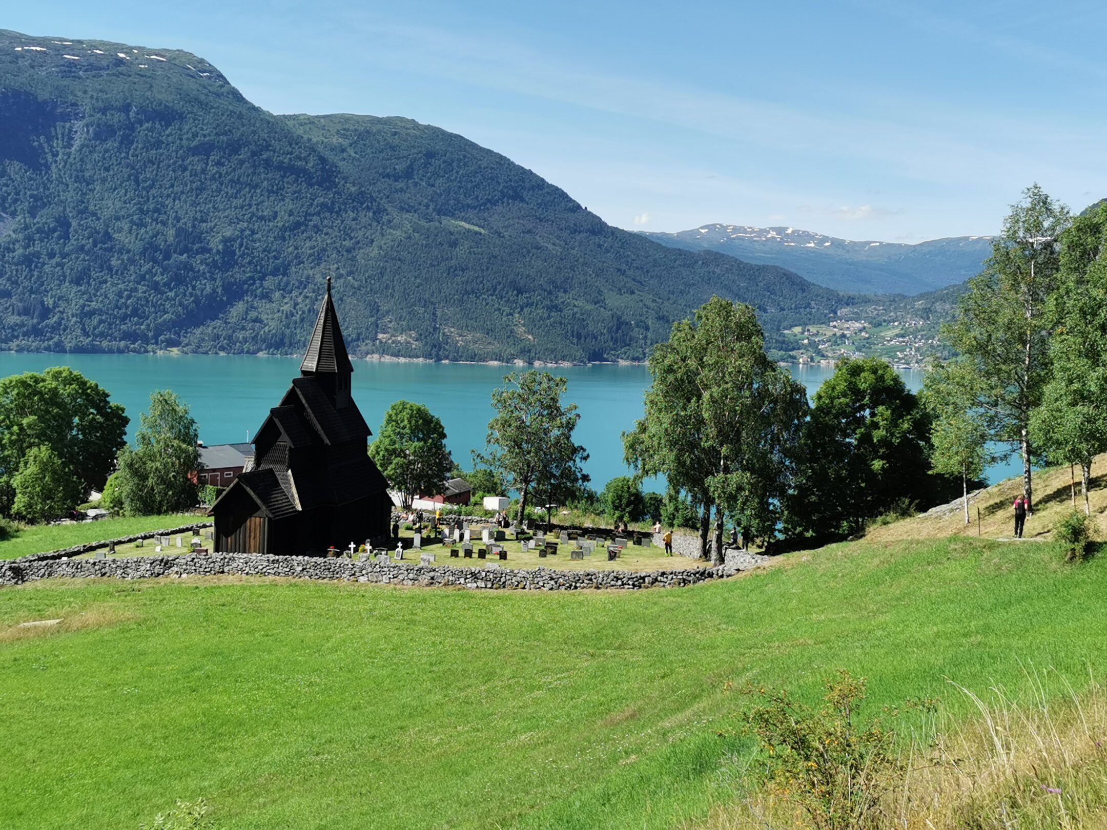
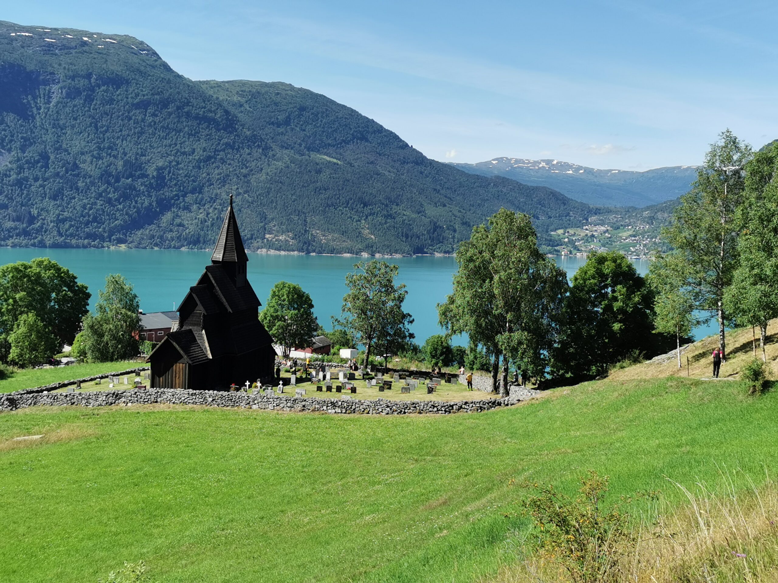
On this stretch, we recommend visiting the Lerum Museum, which is the origin of today’s Lerum juice and jam factory, Feigumfossen waterfall and Urnes stave church, which is on UNESCO’s World Heritage List as one of the oldest preserved stave churches in the country.
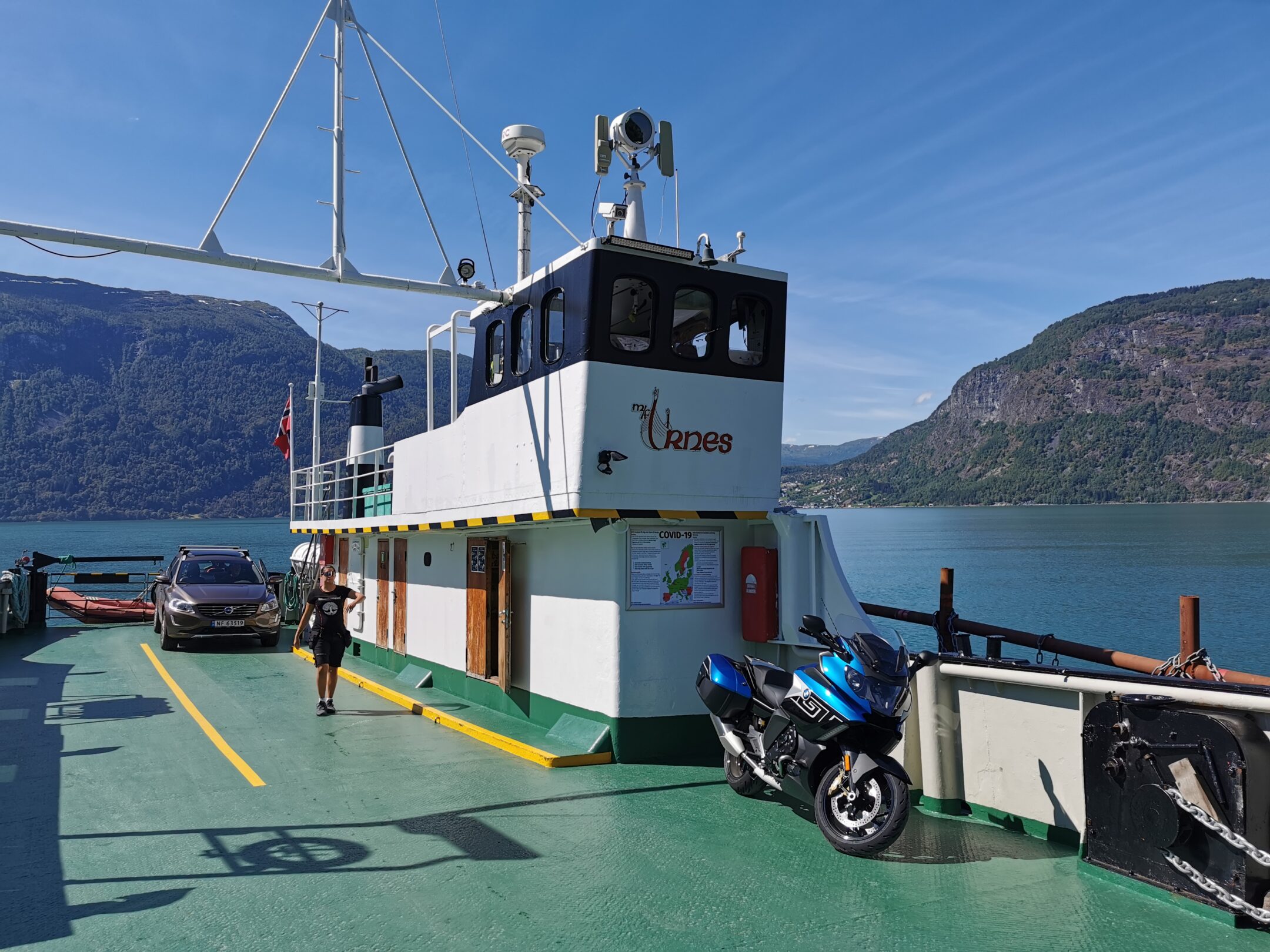
From Ornes there is a ferry every hour across the Lustrafjord to Solvorn.
Solvorn is home to the historic Walaker Hotel and the small café Nesten Heime.
It’s definitely worth stopping here for a bite to eat before continuing your journey back to Lom.
Route 55 on the opposite side of the Sognefjord takes you back to Skjolden, before crossing Sognefjellet again.
This round trip around the Lustrafjord can be just as nice both ways.
If you wish, you can drive to both Leirvassbu and Juvasshytta on your return to Lom.
These roads are detours from route 55 in Bøverdalen (see separate trip descriptions).
Support
How can I navigate the route?
This primarily depends on whether you have a GPS installed, navigate by App on your mobile phone or prefer paper printing.
Here we describe the most common workflows:
- Download the GPX file for the route of your choice to your computer
- Import the file to your route planning tool (e.g. Garmin’s Basecamp or Tom Tom’s MyDrive)
- Export the route to your GPS in the usual way
- Check that the route is calculated correctly in your GPS (It is recommended that the GPS is set to select the fastest route and any avoidance is turned off for the route to be calculated as described).
- Have a good trip!
- Download the GPX file for the route of your choice to your mobile phone
- Send/open the file in the app that belongs to your GPS model (e.g. Garmin’s Drive or Tom Tom’s MyDrive)
- Send the route to your GPS (follow instructions that come with your GPS and App)
- Check that the route is calculated correctly in your GPS (It is recommended that the GPS is set to select the fastest route and any avoidance is turned off for the route to be calculated as described).
- Have a good trip!
Many of the routes on Hubriding use the app Ride with GPS app for route planning and navigation of the routes.
You can download a free version or pay for extended use.
Click on the Send to Device link on the map on this page, when the app has started and you see the current route, press Navigate and then just follow the route.
- Click on the link in the map on the page and the map will open in a new window
- Print the map, with or without description
- Have a good trip!
