
Route 2
The mighty archipelago, with Hitra
The route is defined as easy
Routes defined as easy are suitable for everyone regardless of experience.Length
360 km

Popularity
7.5 av 10

Route 2: The mighty archipelago, with Hitra
It is recommended that the GPS is set to select the fastest route and any avoidance turned off for the route to be calculated as described.
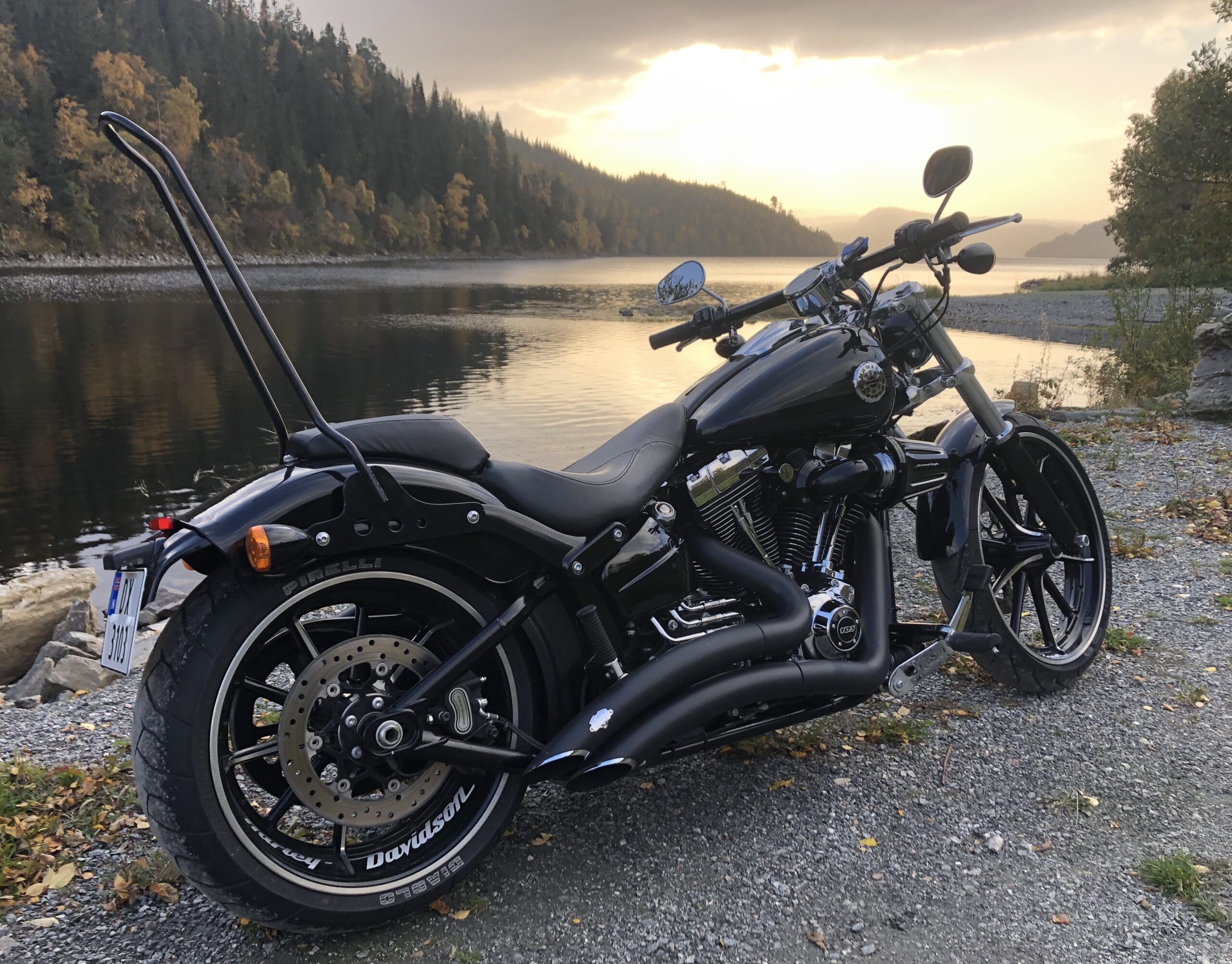
Driving around the entire archipelago on a motorcycle is an experience!
How about taking a car ferry out to the archipelago of Mausund - Sula, and experience the outermost of Trøndelag's fishing villages?
Fine and winding roads, rugged scenery and many viewpoints make this one of the finest motorcycle tours we can offer.


The first part of the hike from Bårdshaug Herregård goes up through a valley, which ends with a view of Lake Gangåsvatnet on your left.
After a short tunnel, turn right onto the F714 and begin your journey on the “salmon road”.
The road curves with a slight incline, and you will see the beautiful Våvatnet lake on your right.
The newly built Geitfjellet wind farm looms large on the horizon, and you’re now driving on the newest part of the “salmon road”.
The roads here are wide and beautiful, with a good overview and towering nature.
You’ll drive through several short and some longer tunnels before reaching the Åstfjord Bridge.
Completed in 2021, the bridge was eagerly awaited by most people, but perhaps not by the average motorcyclist, who lost a section of road inside the fjord with the finest bends imaginable.
But you drive on, knowing that there are more bends to come.
After a few nice long stretches of road with long, gentle bends, a couple of tunnels and passing a petrol station on the left, you now embark on the last few kilometers on the mainland.
A few bends along the sea and a little uphill will bring you to the longest straight stretch of the trip where you end up at Sunde, which is a good place for a stop.
This is also where you drive down into the Hitra tunnel, which was once the world’s deepest underwater tunnel, 260 meters below sea level.
Clean your visor and keep it slightly ajar, as condensation may form as you descend.
After almost 6 kilometers of tunnel, you’re on Hitra, the island known for its large deer population and boasting one of Northern Europe’s largest deer herds.
The roads here are fantastic, with gentle bends and flat natural landscapes.
Just put your feet on the end of the footboards and enjoy the ride.
Just don’t forget that deer!
In Fillan, a stop at the Coastal Museum is well worth a visit if you want to know more about the history of fishing and coastal culture on the Trøndelag coast before driving on.
Or how about turning right a few kilometers later for a visit to Ansnes Brygger?
The road east towards Ansnes runs on nice narrow roads and is a nice detour to the well-known motorcycle stop Ansnes Brygger for a breather and a chat with other motorcyclists.
After a couple of miles on Hitra’s more winding roads, you’ll come to Dolmøy and from here you enter the Frøya tunnel, which is a 5.3 km long underwater tunnel.
Out of the tunnel, turn left at the first roundabout and head towards Titran.
Now the roads narrow and the bends become shorter.
You’ll notice that the sea is just outside, the terrain becomes windier and the fresh sea air is penetrating.
Three miles later you’ll reach the fishing village of Titran, a historically important weather community well known in connection with the Titran accident in 1899, where 141 fishermen died in a terrible storm.
This old coastal community is bustling with life during the summer months.
Titranspelet and Gaustadbrygga – an old general store that is now a café.
If you want more experiences of old fishing villages and old coastal communities, we recommend that you drive towards Norddyrøy and take a car ferry out towards the islands of Mausund, Bogøyvær and Sula.
It is possible to get off at Mausund and Sula, where you really get the experience of being “on” the sea. Take a look at the ferry routes or call 175 for ferry times and see if it works with your presence on Frøya!
On the way back, we recommend the trip around Frøya along county roads 716 and 714, with nice bends and sea views most of the way.
Please take it easy along this road, as there may be grazing sheep along the road surface.
At Sistranda, the municipal center of Frøya, you’ll find Hotell Frøya, where restaurant Havheim offers a good bite to eat and lovely views of the Frøyfjord.
The tour now returns to Hitra and just after the Frøya tunnel you take a detour to the right on county road 381 towards Hopsjøbrygga, which is well worth a visit.
On your return, turn right onto county road 713, where our tour around Hitra starts.
Now just sit back on your motorcycle and enjoy the island’s coastal nature.
It’s relatively flat here, and the views of marshland and coast alternate.
You follow the county road to Sandstad and return through the Hitra tunnel and drive the same route back to Bårdshaug Herregård, where a better dinner and a glass of wine await you.
Support
How can I navigate the route?
This primarily depends on whether you have a GPS installed, navigate by App on your mobile phone or prefer paper printing.
Here we describe the most common workflows:
- Download the GPX file for the route of your choice to your computer
- Import the file to your route planning tool (e.g. Garmin’s Basecamp or Tom Tom’s MyDrive)
- Export the route to your GPS in the usual way
- Check that the route is calculated correctly in your GPS (It is recommended that the GPS is set to select the fastest route and any avoidance is turned off for the route to be calculated as described).
- Have a good trip!
- Download the GPX file for the route of your choice to your mobile phone
- Send/open the file in the app that belongs to your GPS model (e.g. Garmin’s Drive or Tom Tom’s MyDrive)
- Send the route to your GPS (follow instructions that come with your GPS and App)
- Check that the route is calculated correctly in your GPS (It is recommended that the GPS is set to select the fastest route and any avoidance is turned off for the route to be calculated as described).
- Have a good trip!
Many of the routes on Hubriding use the app Ride with GPS app for route planning and navigation of the routes.
You can download a free version or pay for extended use.
Click on the Send to Device link on the map on this page, when the app has started and you see the current route, press Navigate and then just follow the route.
- Click on the link in the map on the page and the map will open in a new window
- Print the map, with or without description
- Have a good trip!
