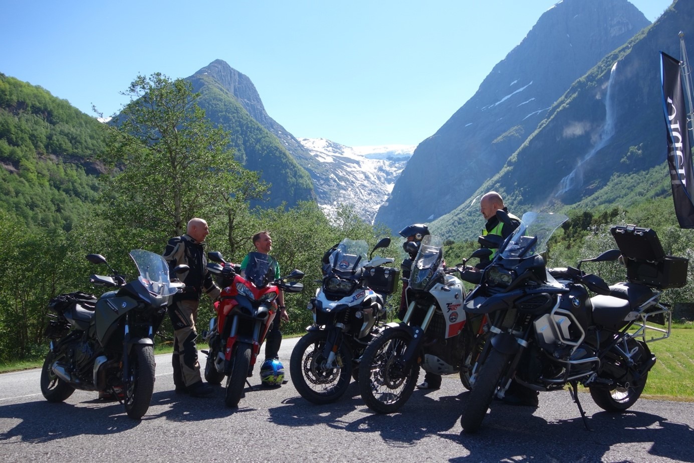
Route 1
Oldedalen
The route is defined as normal
Routes defined as normal are suitable for most people who have experience with somewhat demanding sections.Length
320 km
Popularity
7.5 av 10
Route 1: Oldedalen
It is recommended that the GPS is set to select the fastest route and any avoidance turned off for the route to be calculated as described.
The route starts with a beautiful ferry ride of about an hour from Geiranger.
We recommend that you book a seat and be prepared for the trip to cost over NOK 500, but it's worth it!
Spend your time on deck hearing stories from one of the world's most famous fjords, including the Seven Sisters waterfalls, the bridal veil and the local farms that are nailed to the mountainsides with their very special stories.
The first part of the tour goes through wonderful sweepers through an area with a lot of terrain.
Arriving at Austefjorden, the terrain changes and the turns become tighter and more fun, you’re now driving from fjord to mountain and you’re in an area where you can really perfect your driving technique.
As you approach Stryn, things calm down and you can slip into the city center to explore one of the place’s many pleasant eateries or simply do some shopping.
From here, you’ll head into the delightful Oldedalen valley, which is a must-see.
This valley offers many wonderful bends while you can enjoy the view of the Briksdalsbreen glacier, which covers the entire innermost part of the valley.
When you reach the glacier, you can enjoy lunch and local food before driving out of the valley on a slightly different and exciting track.
Back in Stryn, the trip now enters a whole new phase with high-speed turns of the delightful kind.
At the foot of Strynefjellet, you get a whole series of 180-degree turns where you can really squeeze and drive your tires all the way down, insanely wonderful and invigorating.
When you come out of the last tunnel, it’s time to head west towards Geiranger, new wonderful turns and after a short time you will see the road that goes up to the highlight of the trip, Dalsnibba.
To gain access to the road you have to pay NOK 250, but it’s definitely worth it, you simply mustn’t opt out of this part.
Dalsnibba simply represents the roof of Norway and takes everyone’s breath away.
If you’re ready to leave Dalsnibba, you’ll have another 100 wonderful turns ahead of you on the way down to the hotel, where you can digest the memories of the day’s trip along with food and drink from a very good kitchen.
Support
How can I navigate the route?
This primarily depends on whether you have a GPS installed, navigate by App on your mobile phone or prefer paper printing.
Here we describe the most common workflows:
- Download the GPX file for the route of your choice to your computer
- Import the file to your route planning tool (e.g. Garmin’s Basecamp or Tom Tom’s MyDrive)
- Export the route to your GPS in the usual way
- Check that the route is calculated correctly in your GPS (It is recommended that the GPS is set to select the fastest route and any avoidance is turned off for the route to be calculated as described).
- Have a good trip!
- Download the GPX file for the route of your choice to your mobile phone
- Send/open the file in the app that belongs to your GPS model (e.g. Garmin’s Drive or Tom Tom’s MyDrive)
- Send the route to your GPS (follow instructions that come with your GPS and App)
- Check that the route is calculated correctly in your GPS (It is recommended that the GPS is set to select the fastest route and any avoidance is turned off for the route to be calculated as described).
- Have a good trip!
Many of the routes on Hubriding use the app Ride with GPS app for route planning and navigation of the routes.
You can download a free version or pay for extended use.
Click on the Send to Device link on the map on this page, when the app has started and you see the current route, press Navigate and then just follow the route.
- Click on the link in the map on the page and the map will open in a new window
- Print the map, with or without description
- Have a good trip!