HubridingTelemarkStraand Hotel

Tour of Vrådal town center

Route 4

Tour of Vrådal town center

This is an easy hike in light terrain on paths and gravel roads for most of the hike. The hike starts and stops at the hotel and goes in fine forest terrain up towards a large bog and further around in fine forest terrain. Enjoy a nice walk that can be done in all kinds of weather. Enjoy a good cup of coffee on the hike!

The route is defined as simple

Routes defined as easy are suitable for everyone regardless of experience

Time
1:30 hour

Length
8.2 km

Popularity
3out of 10

Calculated automatically

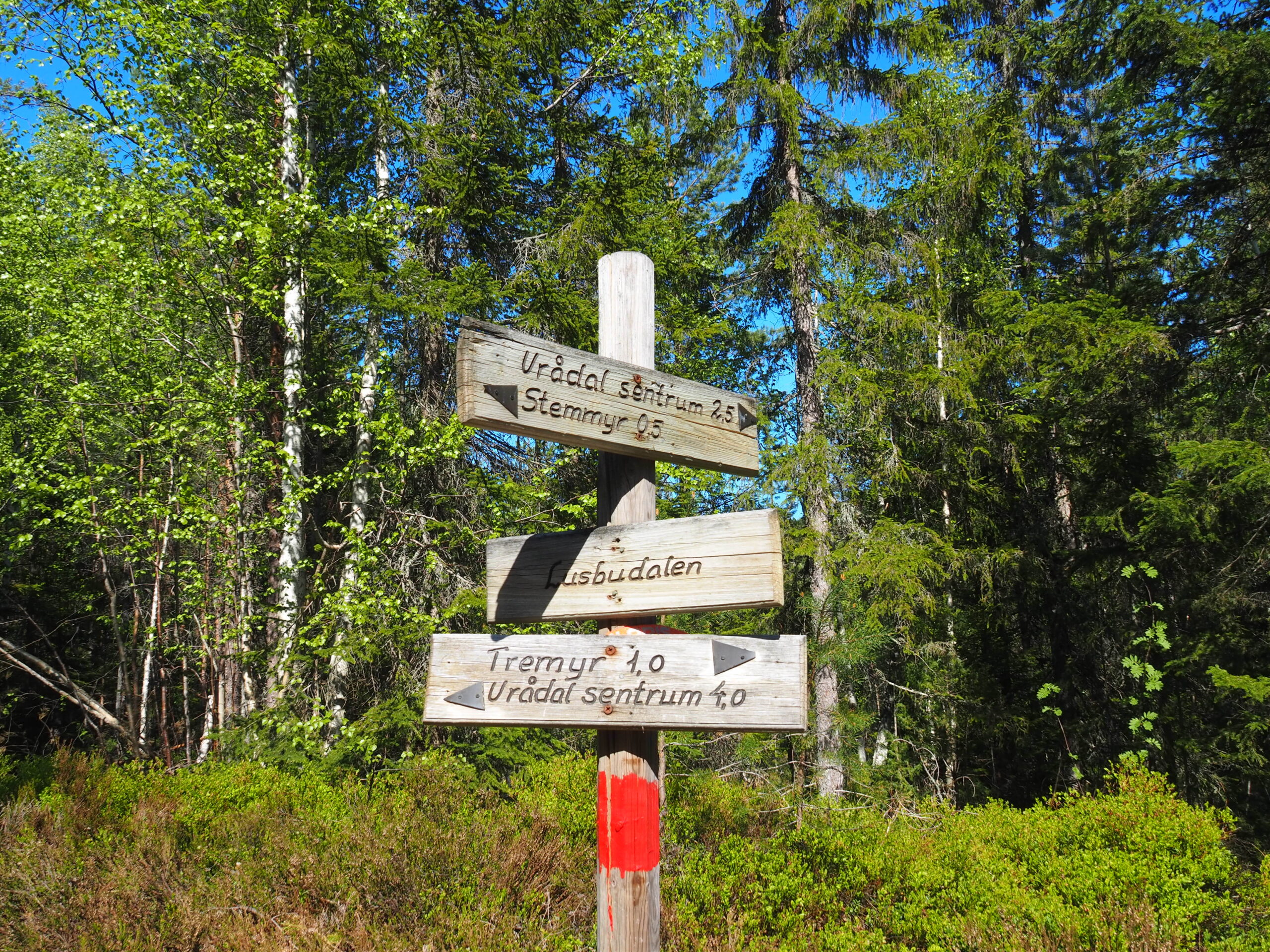
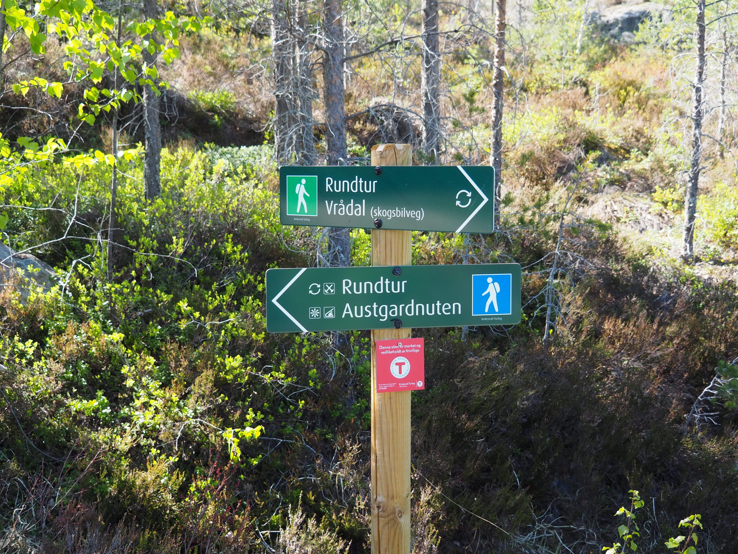
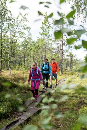
Enjoy a great forest walk in easy terrain. Follow the signs and GPS route or try your hand in a terrain with many possibilities. Enjoy the hike!

This is an easy hike on easy terrain and on a gravel path for most of the hike.

The tour starts from the hotel on the cycle path towards the city center, over the bridge until you see the sign with Fjellhytter on the left side. Cross the road and keep left where the roads split.

You then follow the road uphill for a while before entering the path by the cabin field. It is well marked here.

Continue on a good path until you reach the sign marked Stemyr where you turn left. Follow this for a while before reaching a gravel road where you turn left and follow the tractor road downhill for a while.

At a fork in the road, turn right again and follow the road until you reach another small junction. Here there is a path to the left that we turn onto, follow this until we reach Vrådal Ferieleiligheter. Continue back to the hotel.

Support

How can I navigate the route?

This depends primarily on whether you have installed a GPS, navigate by App on your mobile phone or prefer paper printouts. Here we describe the most common workflows:

  • Download the GPX file for the route you want to your computer
  • Import the file to your route planning tool (e.g. Garmin's Basecamp or Tom Tom's MyDrive)
  • Export the route to your GPS in the usual way
  • Check that the route is calculated correctly in your GPS (It is recommended that the GPS is set to select the fastest route and any avoidance turned off for the route to be calculated as described).
  • Have a great trip!
  • Download the GPX file for the route you want to your mobile phone
  • Send/open the file in the App that belongs to your GPS model (e.g. Garmin's Drive or Tom Tom's MyDrive)
  • Send the route to your GPS (follow the instructions that come with your GPS and App)
  • Check that the route is calculated correctly in your GPS (It is recommended that the GPS is set to select the fastest route and any avoidance turned off for the route to be calculated as described).
  • Have a great trip!

Many of the routes on Hubriding use the app Ride with GPS app for route planning and navigation of the routes. You can download this as a free version or pay for extended use. Click on the Send to Device link on the map on this page, when the app has started and you see the current route, click Navigate and then just follow the route.

  • Click on the link in the map on the page and the map will open in a new window
  • Print the map, with or without description
  • Have a great trip!