HubridingTelemarkStraand Hotel

Austre Roholtsfjell

Route 2

Austre Roholtsfjell

The hike to Roholtfjell is a great summit hike that starts in easy terrain, but gradually turns into a more demanding and steep section towards the end. Ropes are laid out in a couple of places to get to the top. The hike to the top is not recommended when it is wet, so turn around and add a detour to avoid the slippery parts of the mountain.

The route is defined as demanding

Routes defined as demanding are suitable for people with experience in demanding batches

Time
5:00 hours

Length
13.4 km

Popularity
5out of 10

Calculated automatically

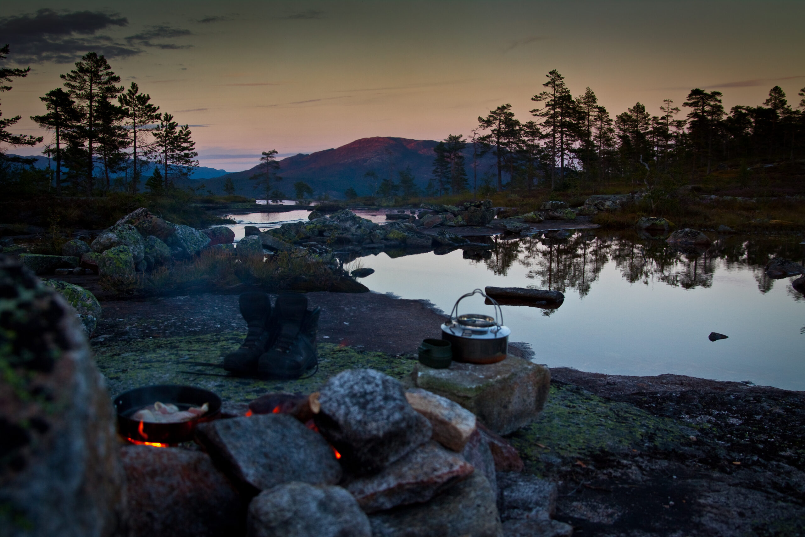
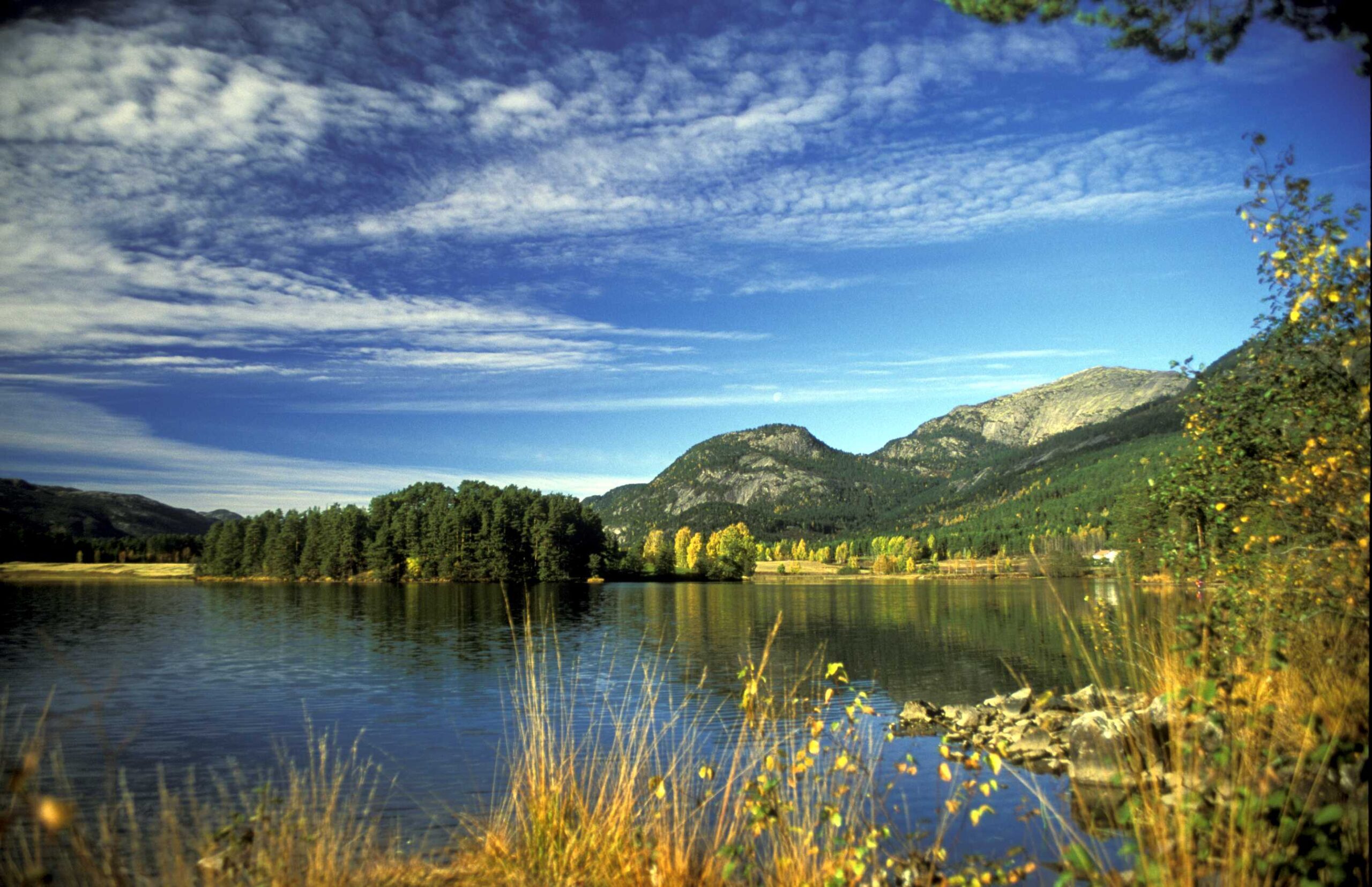
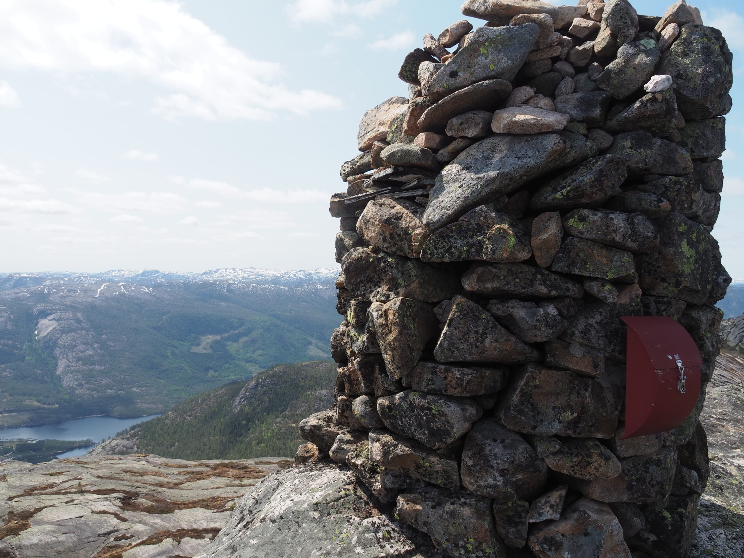
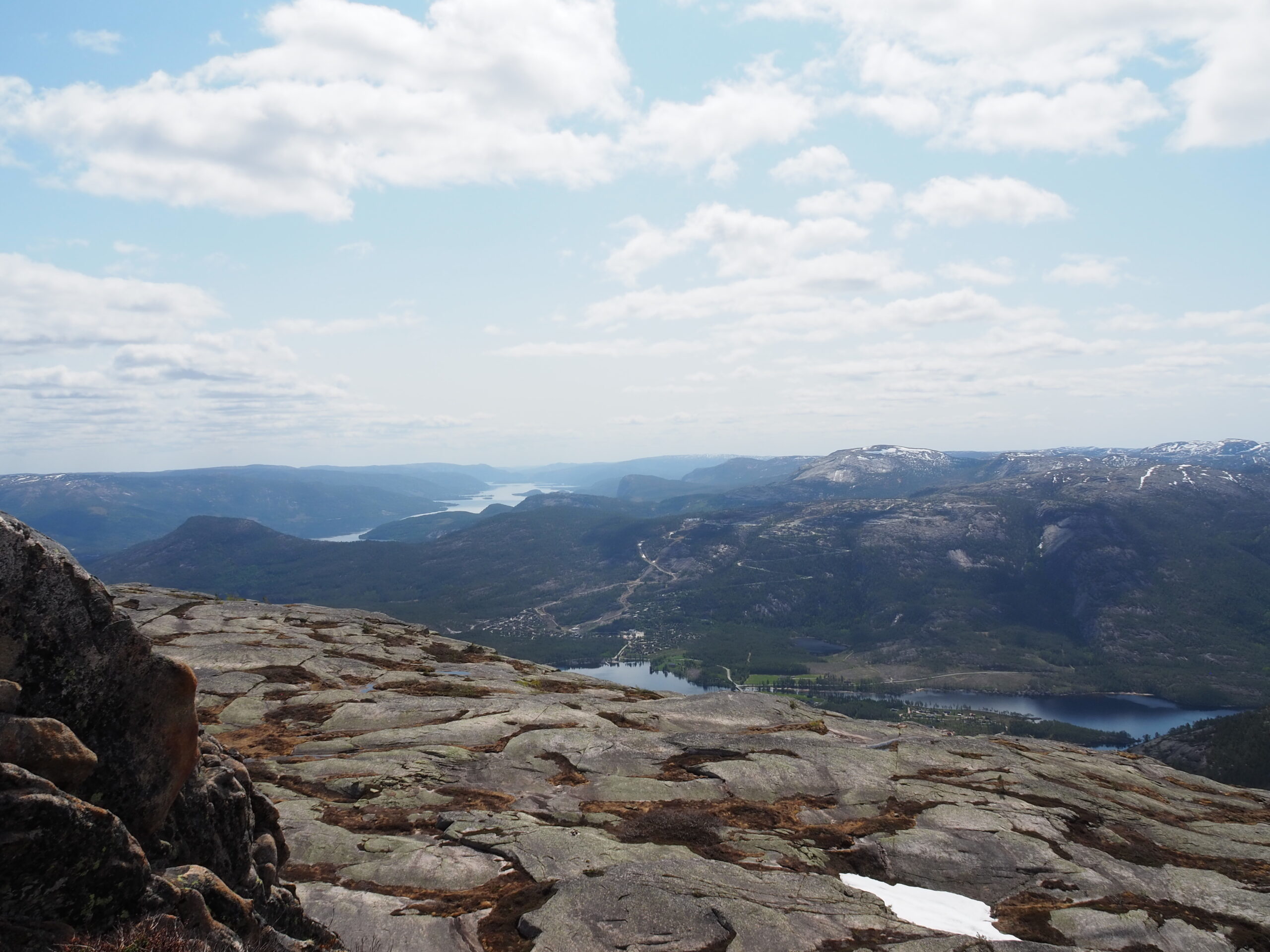
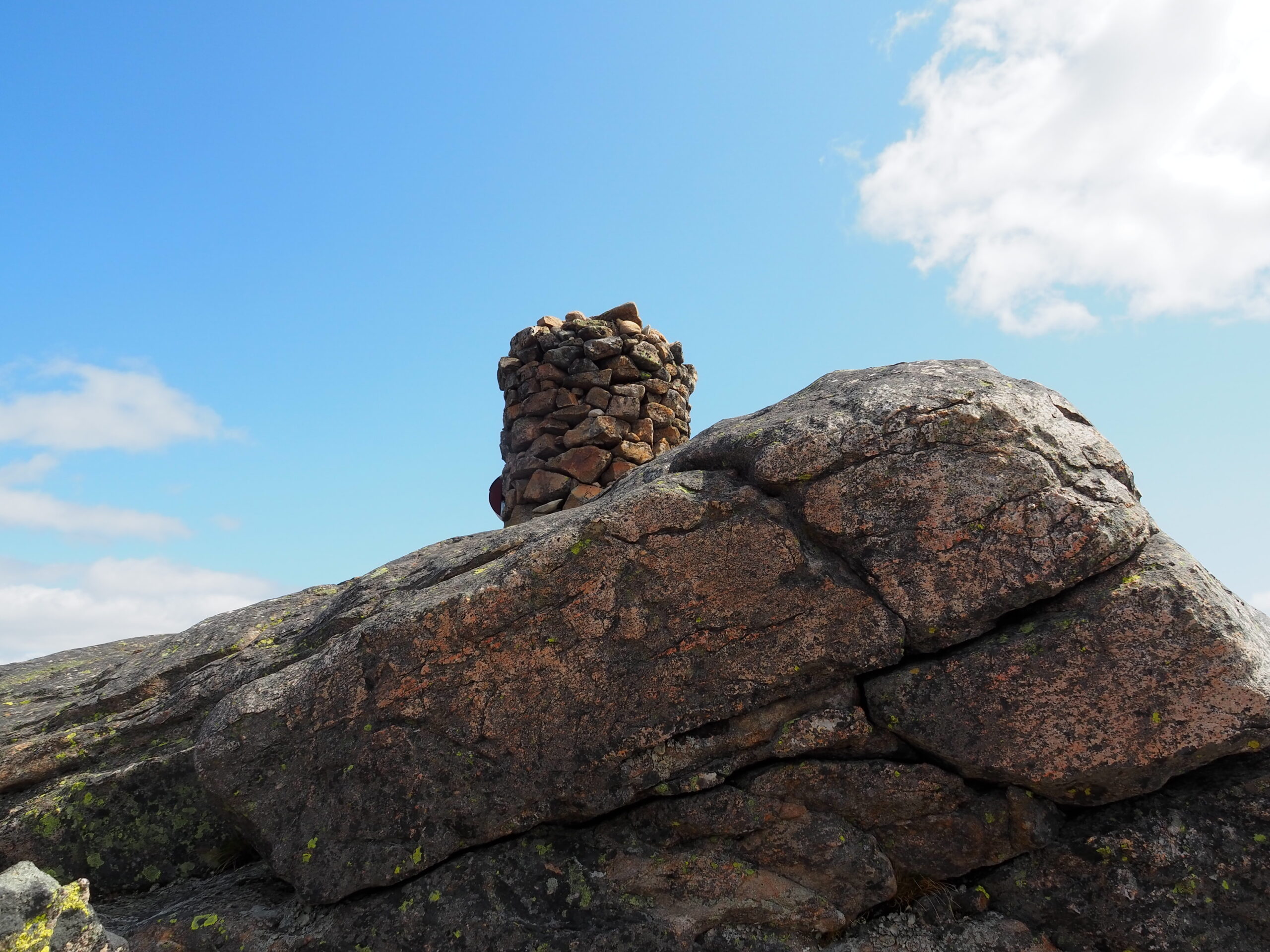
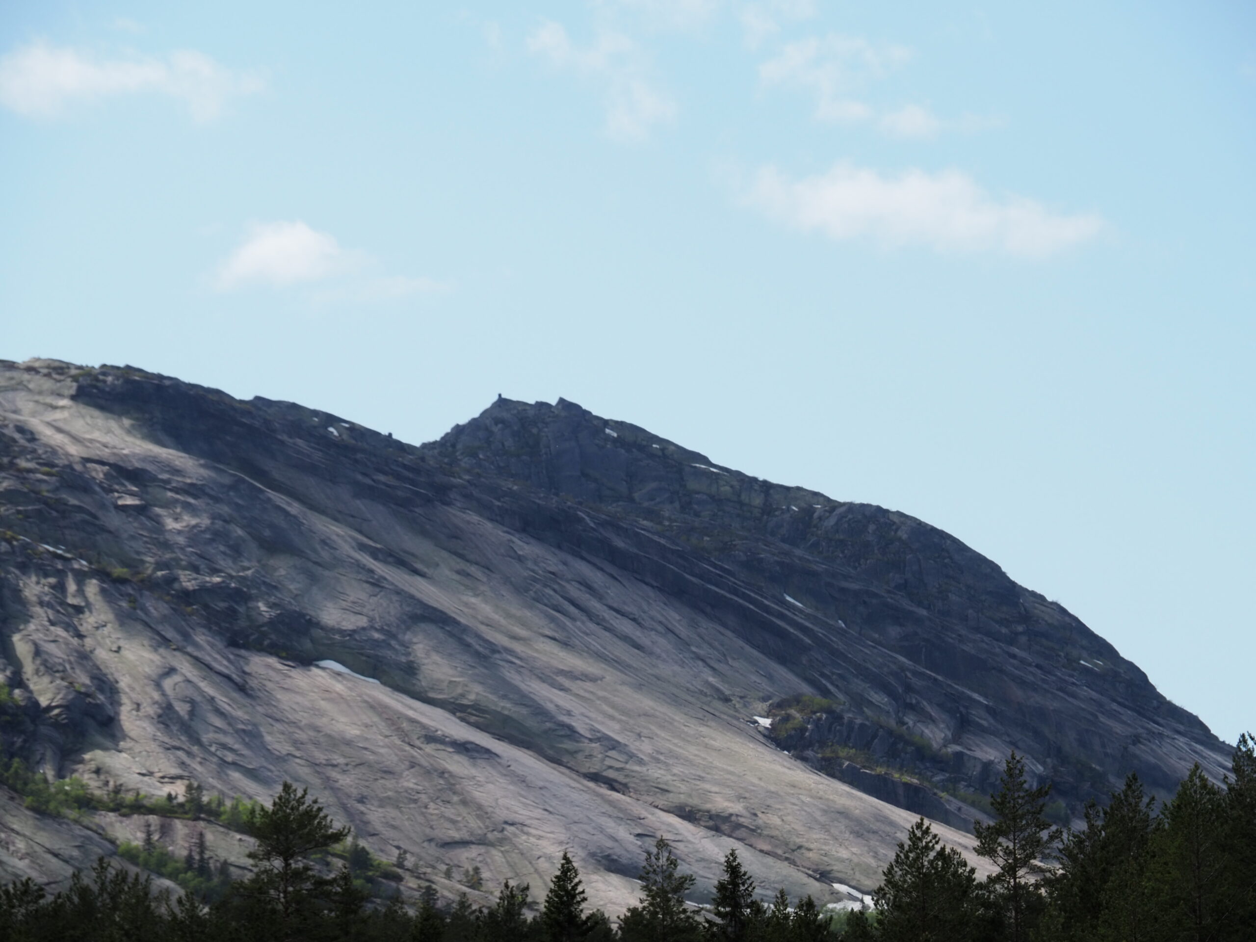
Great hike in beautiful Vrådal, this is the most alpine with clean-cut rock faces and an altitude of 1005 meters above sea level. Enjoy a fantastic hike in beautiful terrain.

The hike starts at Heia, feel free to park at the parking lot of the shooting range, and this beautiful hike starts in nice terrain on a path/old cart road and is a soft start before the summit hike. The terrain changes and you continue on rocks/mountains for the rest of the hike. The last part of the hike is steep and at the end you have to resort to using ropes. At the top you will be rewarded with a fantastic view. Remember good footwear, drinks and snacks.

Support

How can I navigate the route?

This depends primarily on whether you have installed a GPS, navigate by App on your mobile phone or prefer paper printouts. Here we describe the most common workflows:

  • Download the GPX file for the route you want to your computer
  • Import the file to your route planning tool (e.g. Garmin's Basecamp or Tom Tom's MyDrive)
  • Export the route to your GPS in the usual way
  • Check that the route is calculated correctly in your GPS (It is recommended that the GPS is set to select the fastest route and any avoidance turned off for the route to be calculated as described).
  • Have a great trip!
  • Download the GPX file for the route you want to your mobile phone
  • Send/open the file in the App that belongs to your GPS model (e.g. Garmin's Drive or Tom Tom's MyDrive)
  • Send the route to your GPS (follow the instructions that come with your GPS and App)
  • Check that the route is calculated correctly in your GPS (It is recommended that the GPS is set to select the fastest route and any avoidance turned off for the route to be calculated as described).
  • Have a great trip!

Many of the routes on Hubriding use the app Ride with GPS app for route planning and navigation of the routes. You can download this as a free version or pay for extended use. Click on the Send to Device link on the map on this page, when the app has started and you see the current route, click Navigate and then just follow the route.

  • Click on the link in the map on the page and the map will open in a new window
  • Print the map, with or without description
  • Have a great trip!