
Ruten defineres som enkel
Ruter som defineres som enkel egner seg for alle uavhengig av erfaring.Lengde
96 km

Popularitet
7.7 av 10
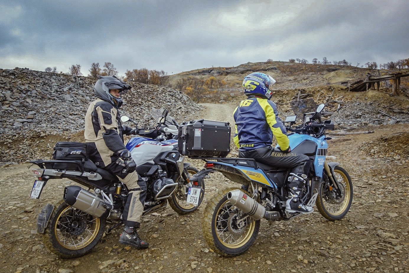
De første 84 km går langs nasjonal turistveg som i seg selv er spektakulær. Du starter turen med å kjøre rundt Esefjorden med høye fjell rett over og tett på.