HubridingBuskerudRingnes Farm

Round trip Hallingdal - Nummedal

Route 1

Round trip Hallingdal - Nummedal

An easy round trip through beautiful forest areas in parts of Hallingdal and Nummedal. The tour takes you on roads you might not have chosen yourself. Most of the tour is on roads with little traffic and many beautiful motorcycle turns. We can recommend the lunch menu at Rødberg Hotel.

The route is defined as simple

Routes defined as easy are suitable for everyone regardless of experience

Length
266 km

Popularity
6out of 10

Calculated automatically

Route 1: Round trip Hallingdal - Nummedal

Route-1-hallingdal-Nummedal.gpx 1,52 MB
Download

It is recommended that GPS is set to select the fastest route and any avoidance turned off in order for the route to be calculated as described.

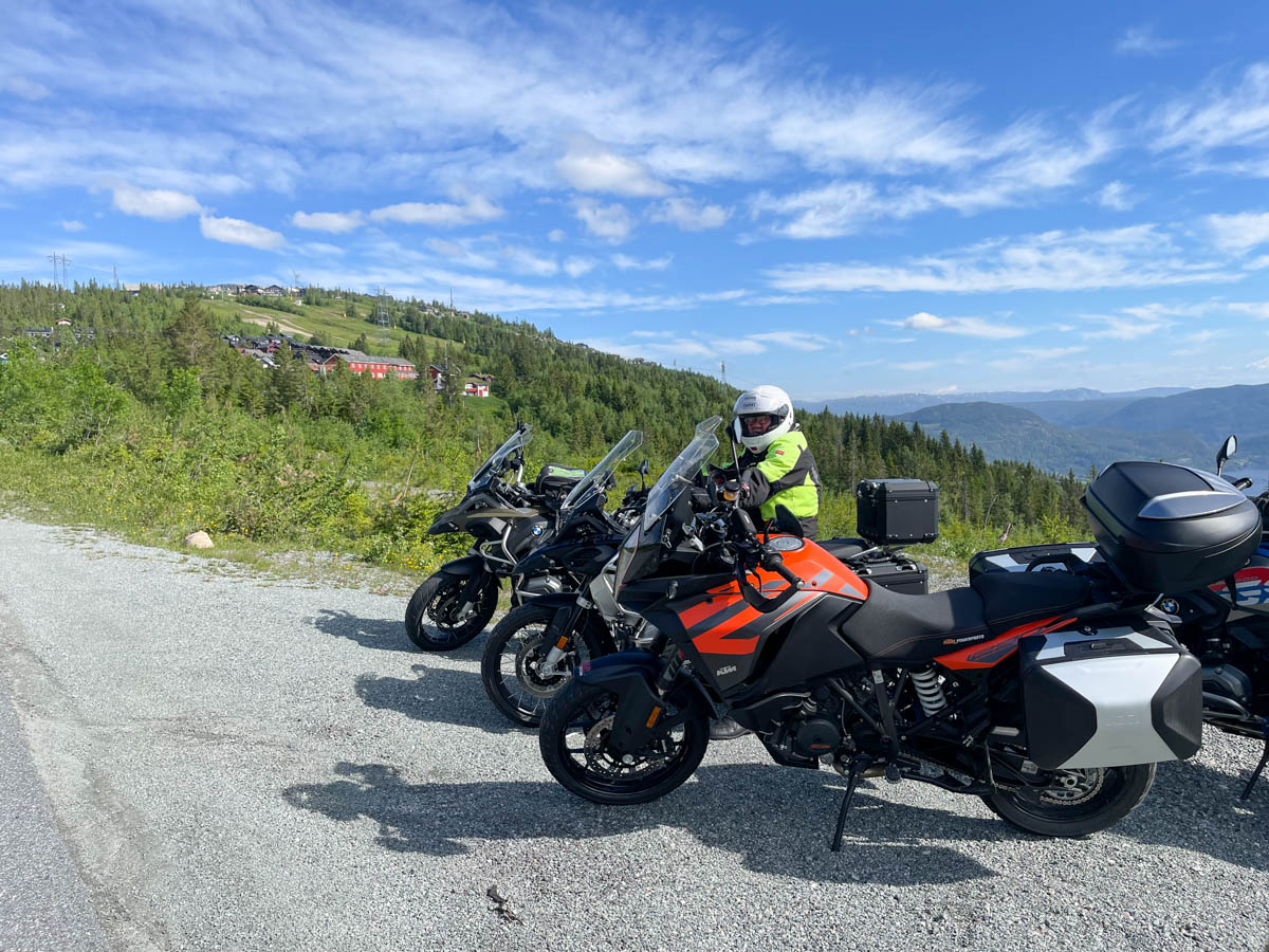
From Ringnes Gård, before you reach Noresund, the route turns right towards Norefjell. This road is a toll road, but in return offers fantastic hairpin bends on good asphalt. Above the highest section here, there is a small stretch of gravel road, but this section has a good gravel surface and can be driven by everyone. Above Norefjell there are several great stops that are ideal for photo backdrops.

The trip continues down to the mountain village of Eggedal in Sigdal municipality. Eggedal is a well-known place for cabin enthusiasts in Eastern Norway. The village borders Trillemarka Nature Reserve, which is Norway's largest forest reserve. The well-known artists Christian Skredsvik and Teodor Kittelsen have their roots here, and their artist homes Lauvlia and Hagan are open for visits during the summer season. If you don't have too much gas in the tank, you can refuel in Eggedal.

We continue to the northwest and take in the beautiful bends on the way up to Haglebu. This is also a great cabin and camping area. Here you pass Haglebunatten, which measures 1278 meters above sea level. On days when it's not very hot, it can get a little chilly over the highest part here. The descent towards Nesbyen is airy and gives you a good view down towards Hallingdal. From Bromma, the journey towards Nesbyen continues a short distance on Riksvei 7, but in Nesbyen the journey continues through beautiful Rukkedalen. This village has only 300 inhabitants, but on the other hand, very nice nature. We are now approaching Tunhovd, which is also a well-known cottage area in Eastern Norway, but we turn off and drive Tunhovdvegen along Tunhovdfjorden and over the dam before starting the descent down to Rødberg. Along the road here you pass the entrance to Langedrag Nature Park where you can stop and see animals from the Norwegian fauna. It is important to note that if you want to visit Langedrag Naturpark, this is a fairly long gravel road with a steep incline.

The descent from the dam takes you down to Rødberg, where there is a large power station that generates electricity from the water from Tunhovdfjorden. The lunch menu at Rødberg Hotel is highly recommended.

After Rødberg, the tour continues down Nummedal to Lampeland, where we turn off towards Prestfoss and then onto County Road 191. Before we arrive in the center of Krøderen, we turn left and follow County Road 192 which takes you home to Ringnes gård on the west side of beautiful Krøderen.

Support

How can I navigate the route?

This depends primarily on whether you have installed a GPS, navigate by App on your mobile phone or prefer paper printouts. Here we describe the most common workflows:

  • Download the GPX file for the route you want to your computer
  • Import the file to your route planning tool (e.g. Garmin's Basecamp or Tom Tom's MyDrive)
  • Export the route to your GPS in the usual way
  • Check that the route is calculated correctly in your GPS (It is recommended that the GPS is set to select the fastest route and any avoidance turned off for the route to be calculated as described).
  • Have a great trip!
  • Download the GPX file for the route you want to your mobile phone
  • Send/open the file in the App that belongs to your GPS model (e.g. Garmin's Drive or Tom Tom's MyDrive)
  • Send the route to your GPS (follow the instructions that come with your GPS and App)
  • Check that the route is calculated correctly in your GPS (It is recommended that the GPS is set to select the fastest route and any avoidance turned off for the route to be calculated as described).
  • Have a great trip!

Many of the routes on Hubriding use the app Ride with GPS app for route planning and navigation of the routes. You can download this as a free version or pay for extended use. Click on the Send to Device link on the map on this page, when the app has started and you see the current route, click Navigate and then just follow the route.

  • Click on the link in the map on the page and the map will open in a new window
  • Print the map, with or without description
  • Have a great trip!