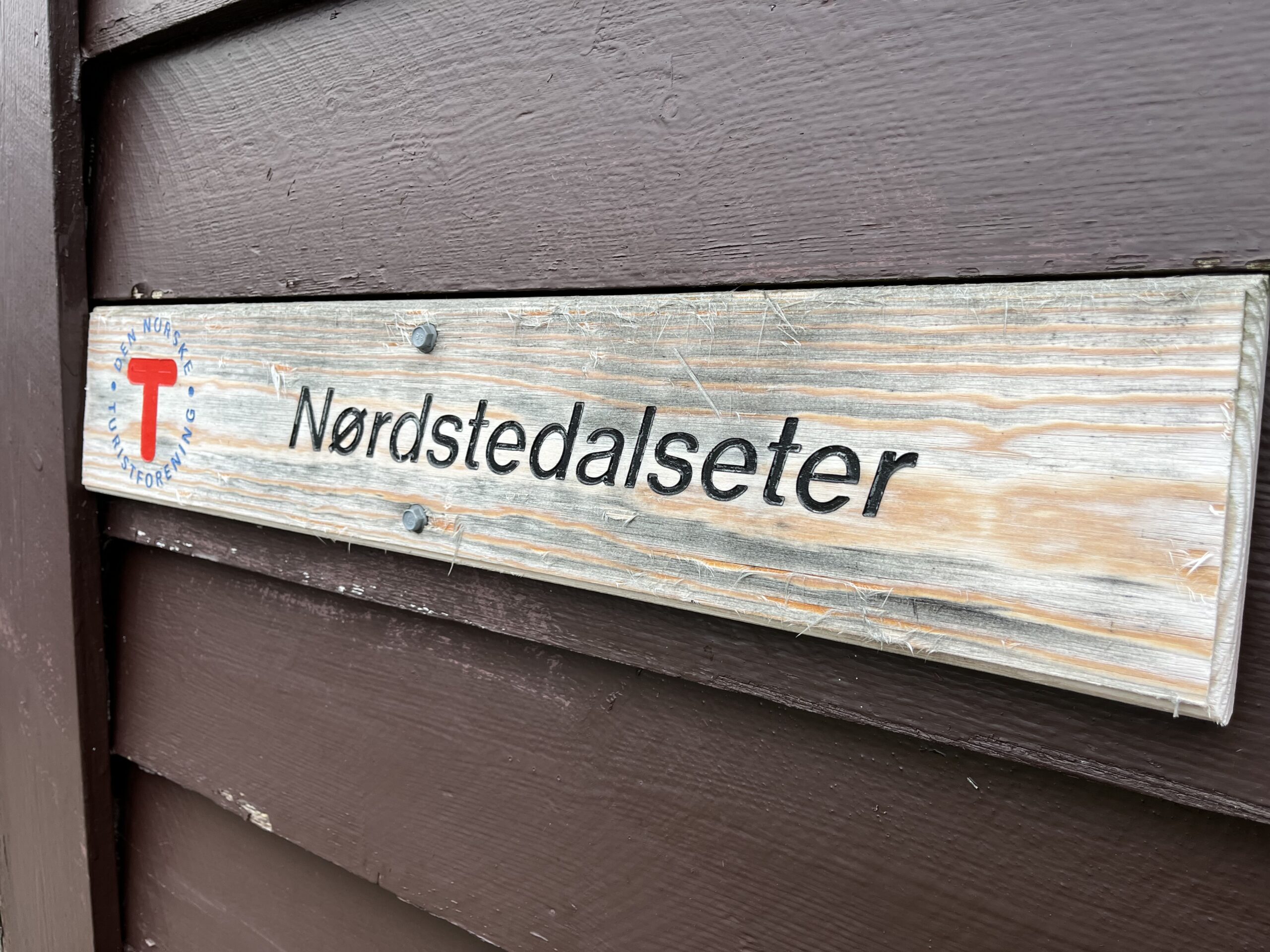
NØRSTEDALSETER AN UNKNOWN PEARL
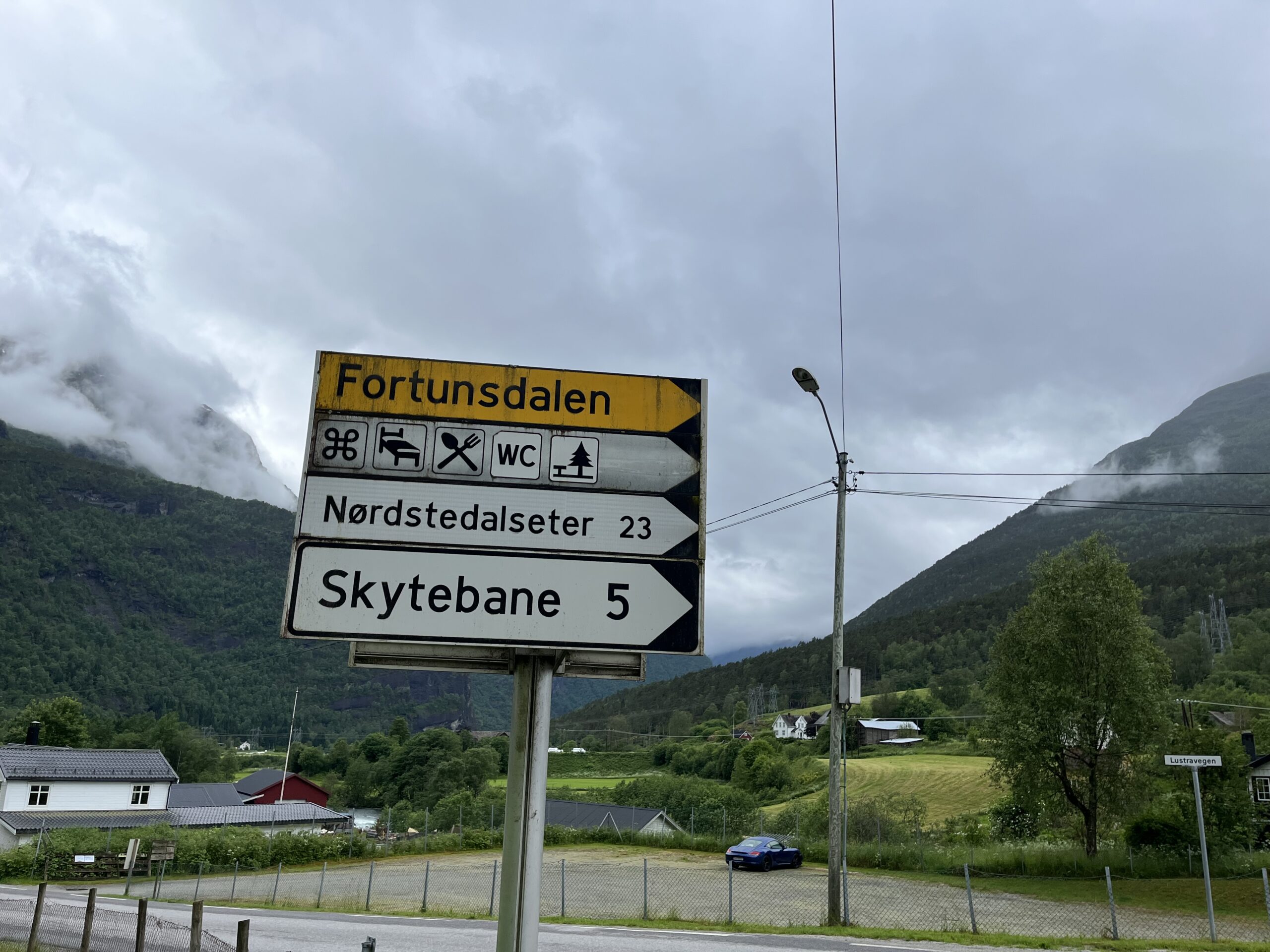
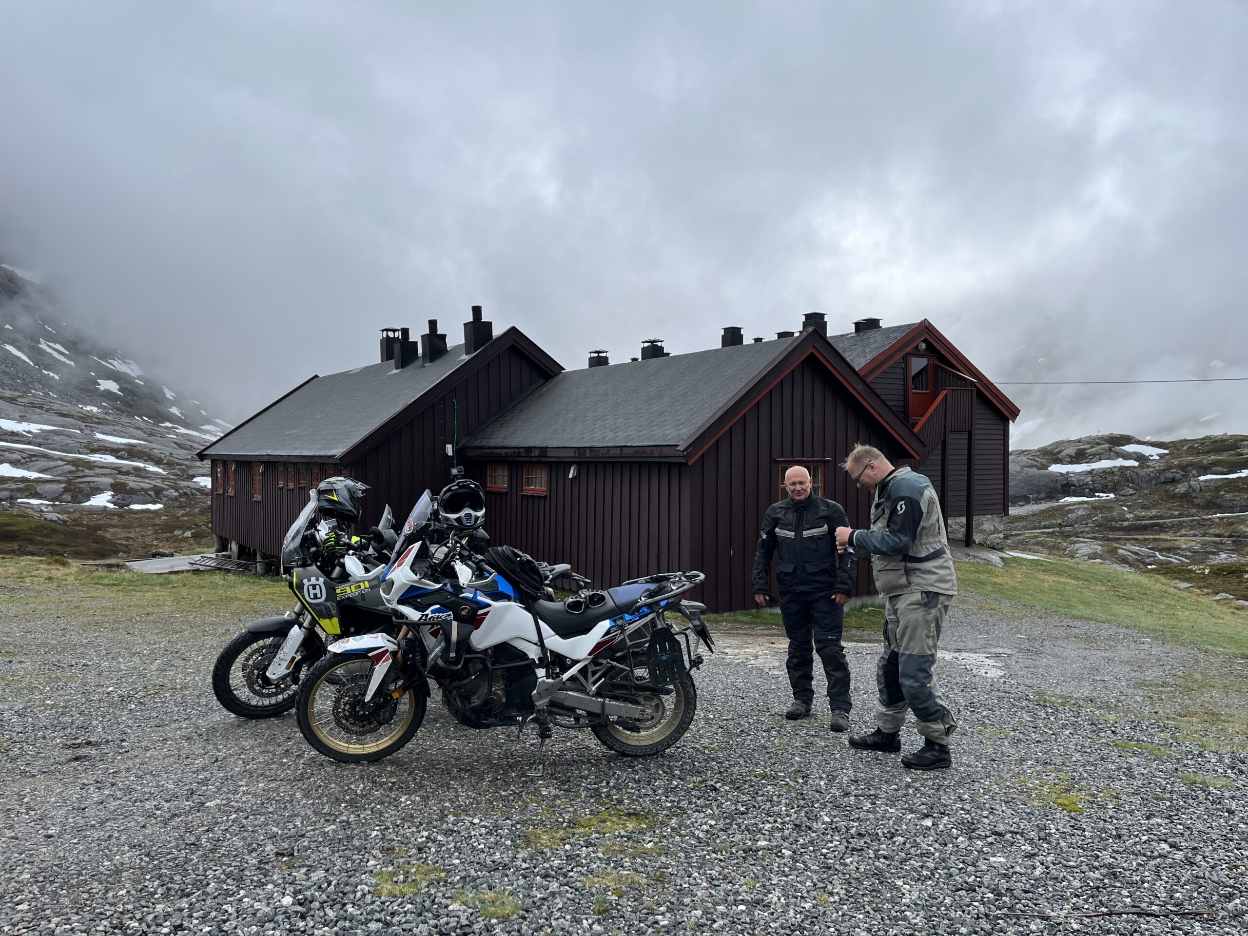
On this day you want to seek out some of the wildest, most dramatic, most lush and perhaps most fantastic nature in Norway, which you are even allowed to drive in. About 5 km from Skjolden is Fortun and the exit to Fortunsdalen, which takes you about 23 km up to Nørdstedalseter, which is a fantastic end point on the climb up to the fantastic lookout point.
The route is defined as demanding
Routes defined as demanding are suitable for people with experience in demanding parties.
Length 56 km
Popularity 4.7 av 10
Assessed by the number of clicks on this page in the last two weeks compared to all Hubriding routes.
This is actually one of the greatest nature experiences you can seek out on two wheels in Norway. We remind you that our target group is the “everyman” and his or her skill level.
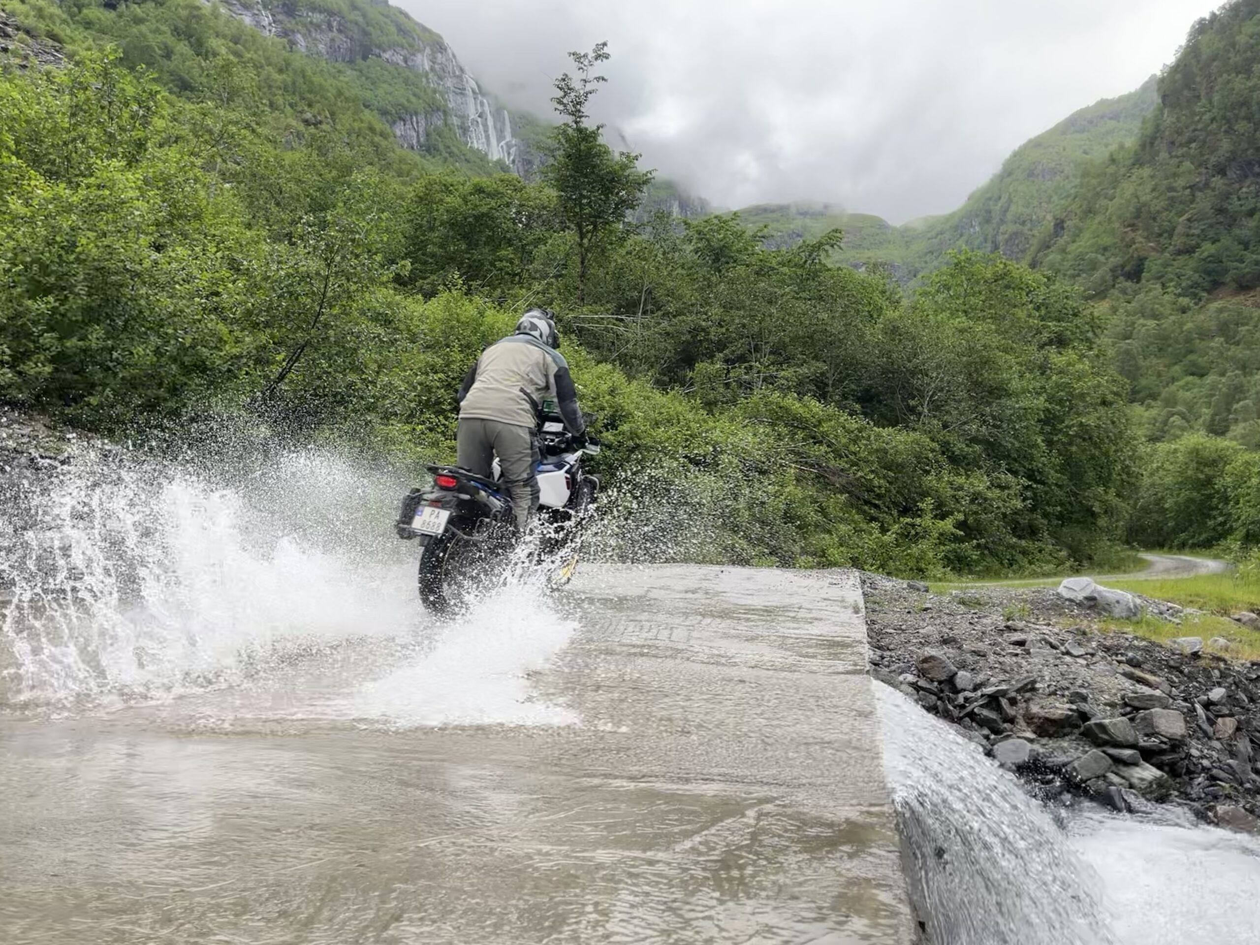
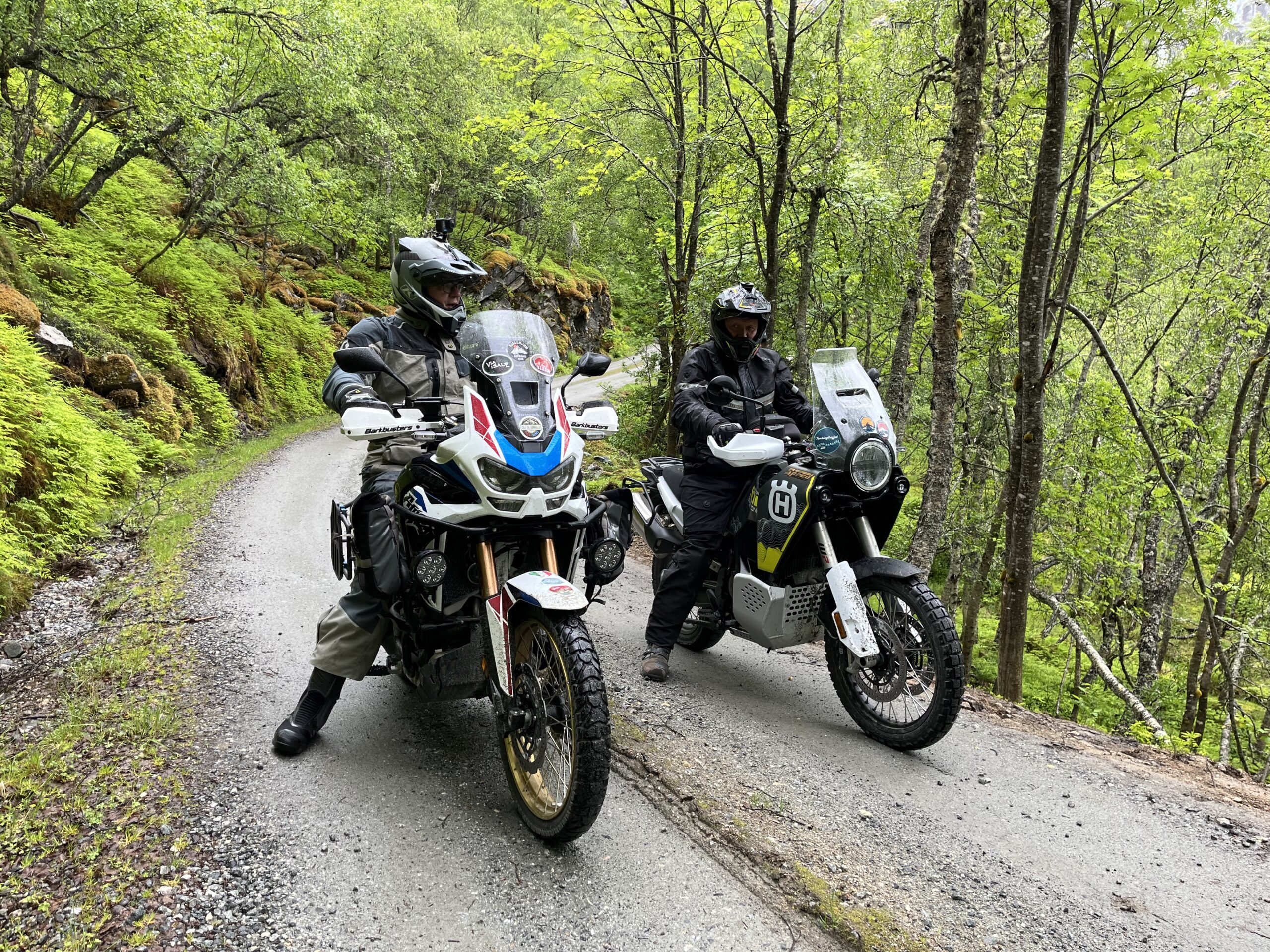
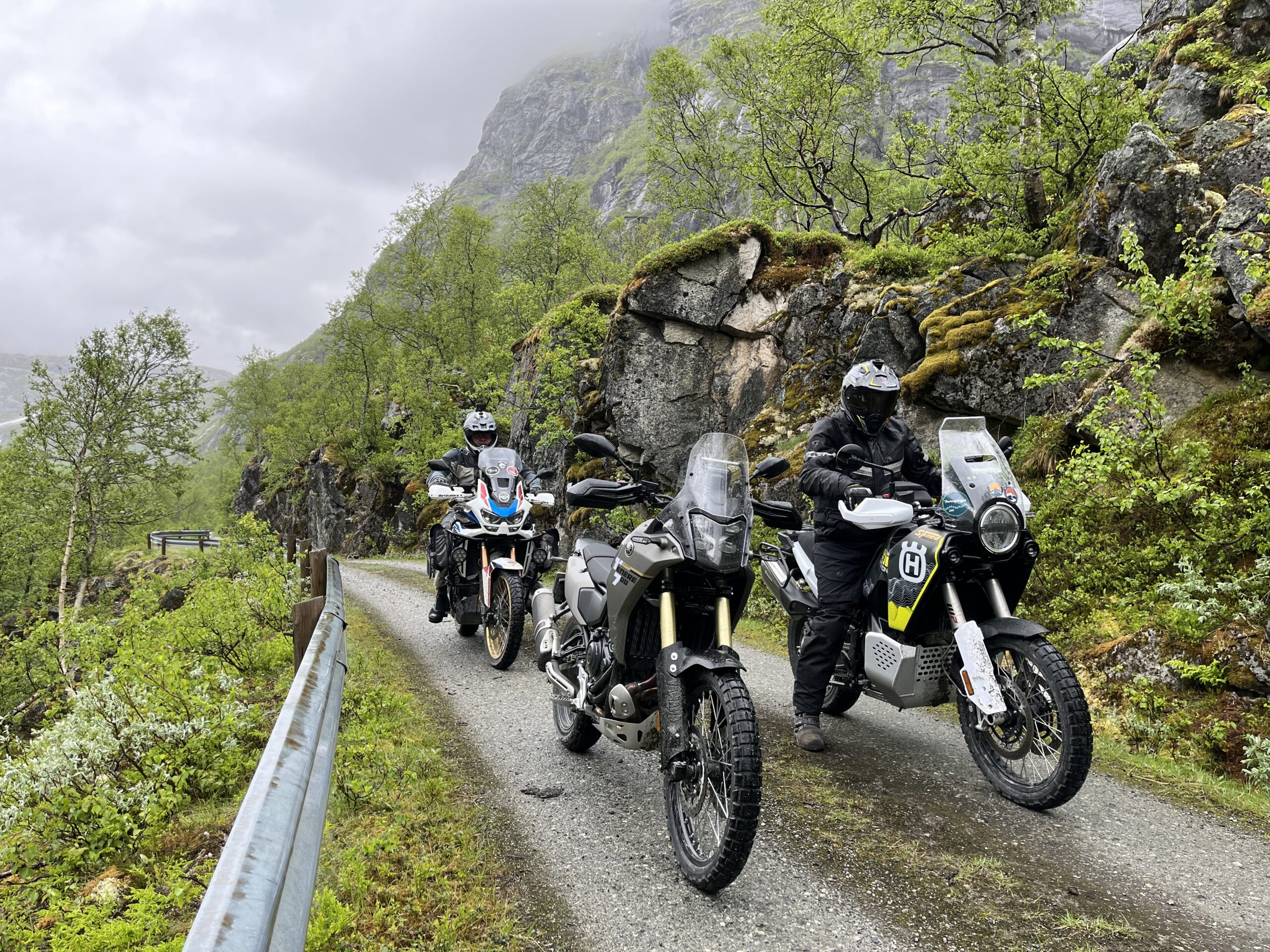
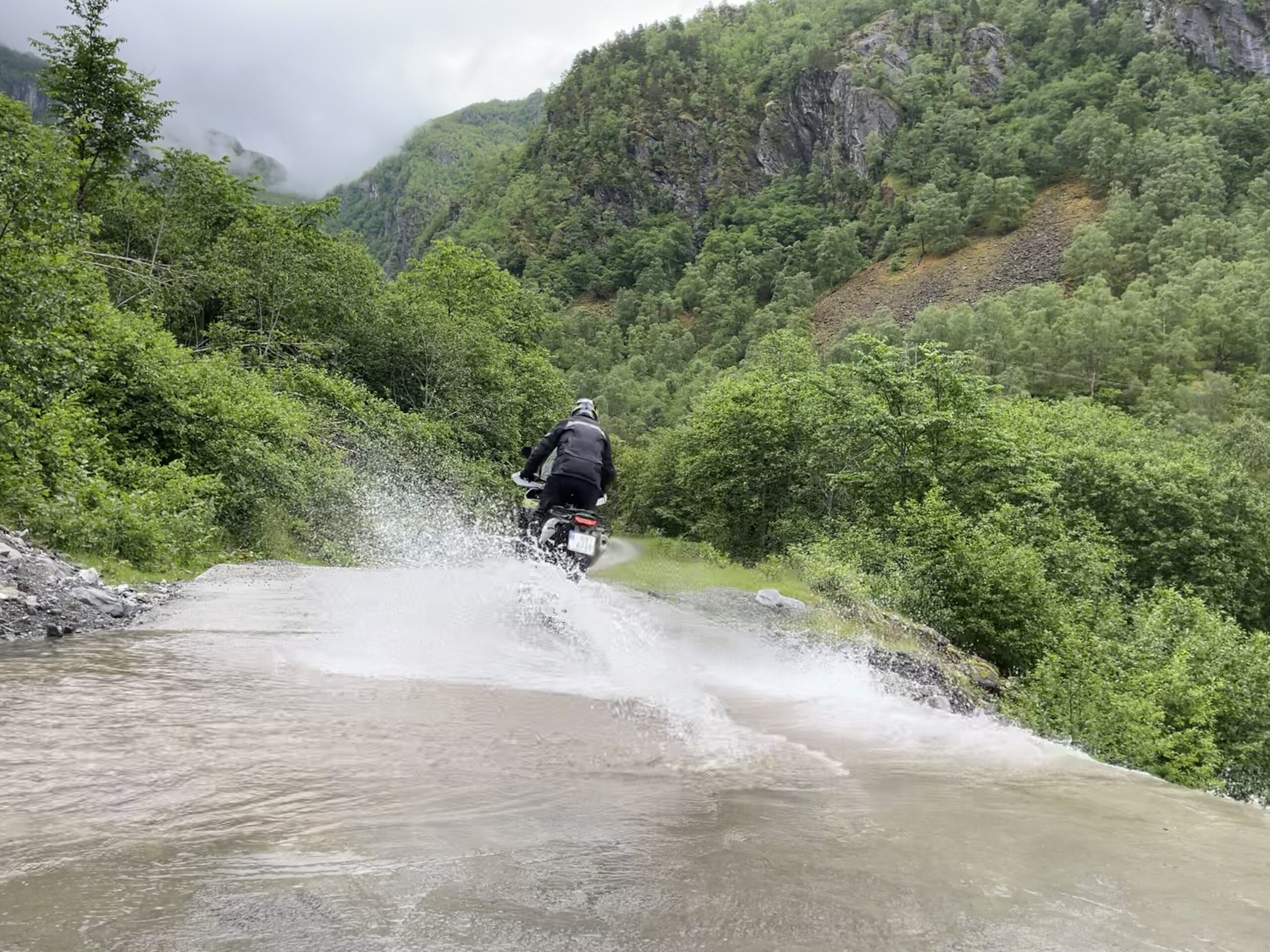
The trip from Skjolden hotel first goes up to Fortun, where you turn off into Fortunsdalen and eventually onto a gravel road that takes you all the way to Nørdstedalseter itself. The gravel road is of slightly varying quality, but is perfectly fine to drive on with a motorcycle. If it rains, however, it can be a bit slippery and we recommend that you ride an adventure/cross bike with good tires (minimum 70/30 tires).
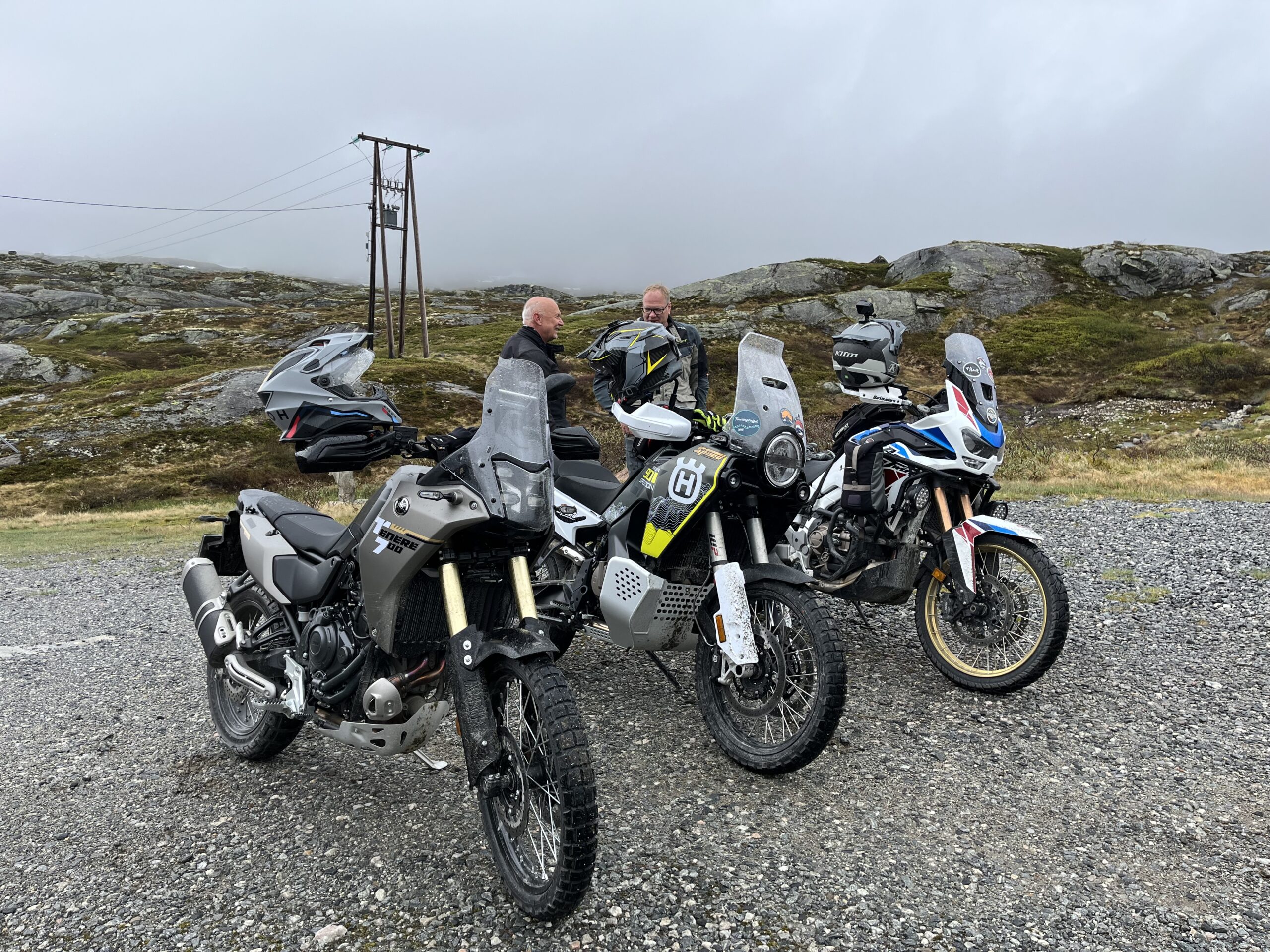
The way up involves a steep climb through some of the most beautiful and lush scenery we have in Norway and the trip offers nothing less than great nature experiences. We recommend that you allow plenty of time to both experience and, not least, take photos, as you’ll have experiences you’ll cherish and remember for the rest of your life. The winding hairpin bends are manageable for most people, but you should have driven something on gravel surfaces before, however, normal skills last a long time.
Take your time, bring some food and drink (the seat is not always open) and enjoy the journey both up and down, as this is a beautiful oasis that simply must be experienced. This is just as beautiful in the rain as it is in the sun, so don’t let that stop you.
Support
How can I navigate the route?
This primarily depends on whether you have a GPS installed, navigate by App on your mobile phone or prefer paper printing. Here we describe the most common workflows:
Download the GPX file for the route of your choice to your computer
Import the file to your route planning tool (e.g. Garmin’s Basecamp or Tom Tom’s MyDrive)
Export the route to your GPS in the usual way
Check that the route is calculated correctly in your GPS (It is recommended that the GPS is set to select the fastest route and any avoidance is turned off for the route to be calculated as described).
Download the GPX file for the route of your choice to your mobile phone
Send/open the file in the app that belongs to your GPS model (e.g. Garmin’s Drive or Tom Tom’s MyDrive)
Send the route to your GPS (follow instructions that come with your GPS and App)
Check that the route is calculated correctly in your GPS (It is recommended that the GPS is set to select the fastest route and any avoidance is turned off for the route to be calculated as described).
Many of the routes on Hubriding use the app Ride with GPS app for route planning and navigation of the routes. You can download a free version or pay for extended use. Click on the Send to Device link on the map on this page, when the app has started and you see the current route, press Navigate and then just follow the route.