HubridingTelemarkStraand Hotel

The Telemark canal, Lunde

Route 13

The Telemark canal, Lunde

This sunshine trip came to a conclusion during the Straand-Treffet 2020 and is a real delight we can easily put the “turn guarantee” and Hubriding stamp on. At 194 km, it’s not one of the longest, but with a touch of sunshine it’s perhaps one of the most enjoyable. Here we have a route that we believe can suit all bikes and skill levels as long as you ride at your own pace. Without breaks, the experienced can do this in 3 hours, but if you want to enjoy the beautiful landscape and hospitality of inner Telemark, you can easily spend 6.

The route is defined as easy

Routes defined as easy are suitable for everyone regardless of experience.

Length
1 km

Popularity
7.5 av 10

Assessed by the number of clicks on this page in the last two weeks compared to all Hubriding routes.

Route 13: The Telemark canal, Lunde

 Route-13-Telemarkskanalen-Lunde-AFRICA-TWIN-1.gpx  224 KB
Download

It is recommended that the GPS is set to select the fastest route and any avoidance turned off for the route to be calculated as described.

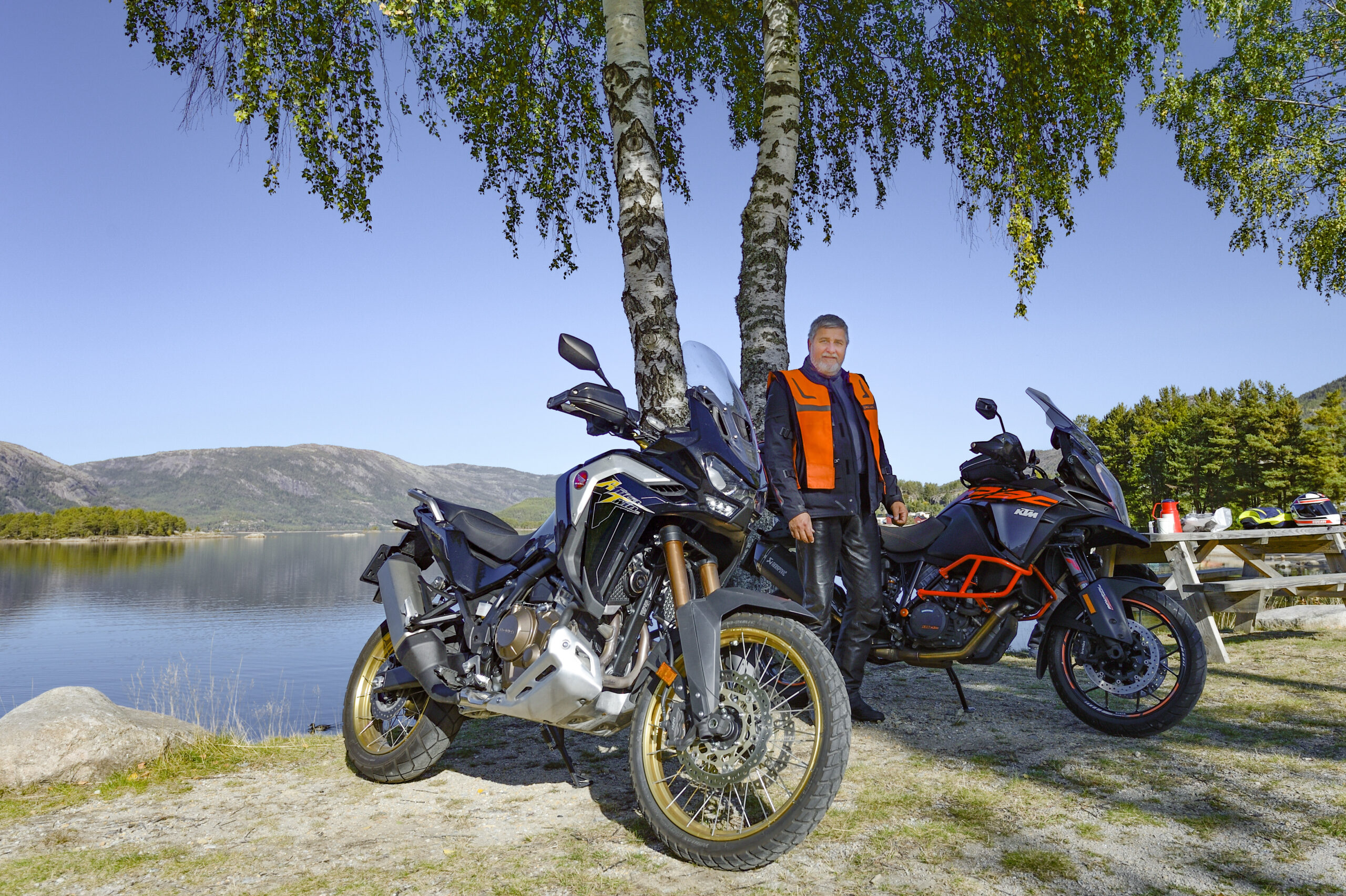
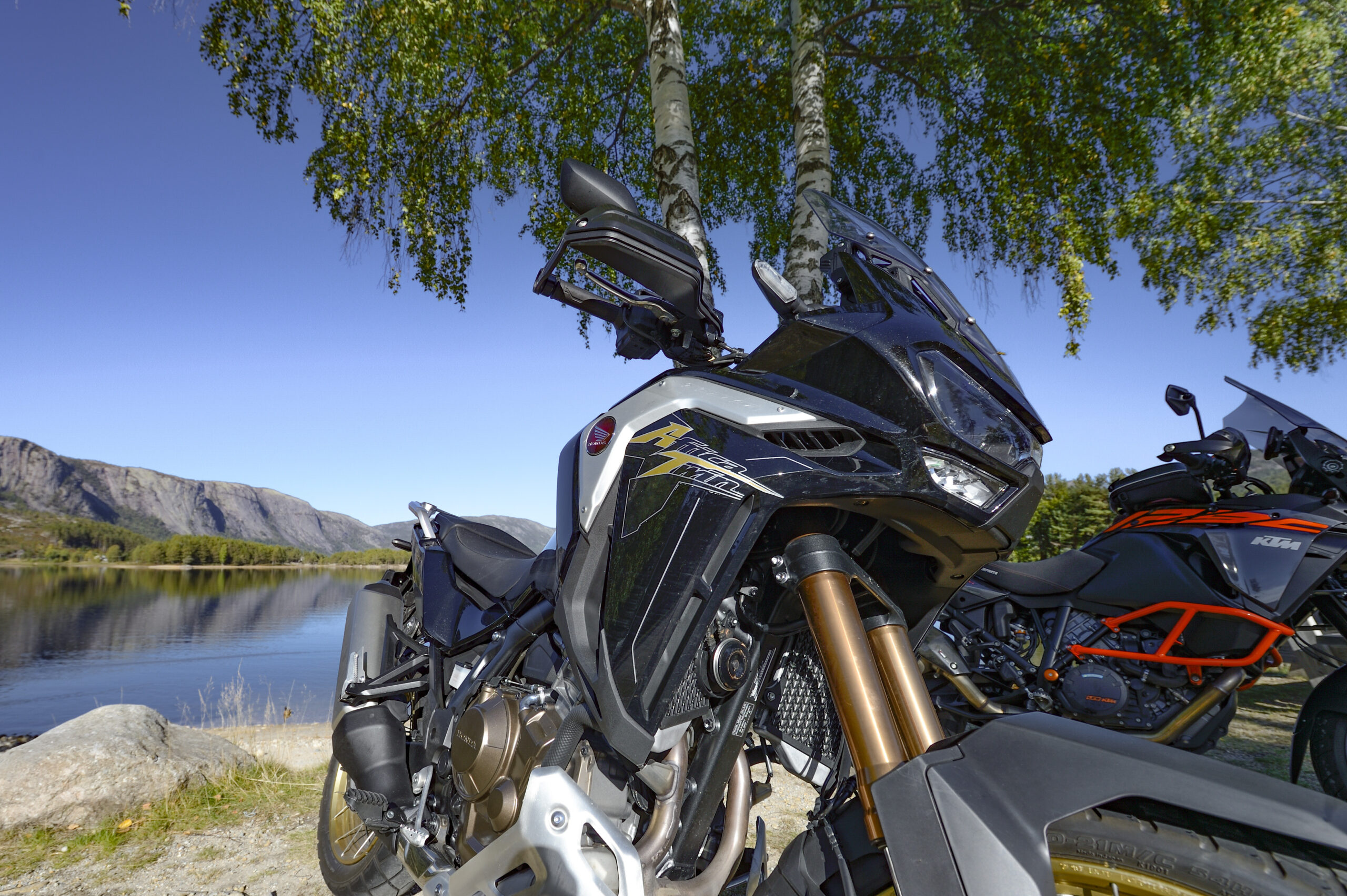
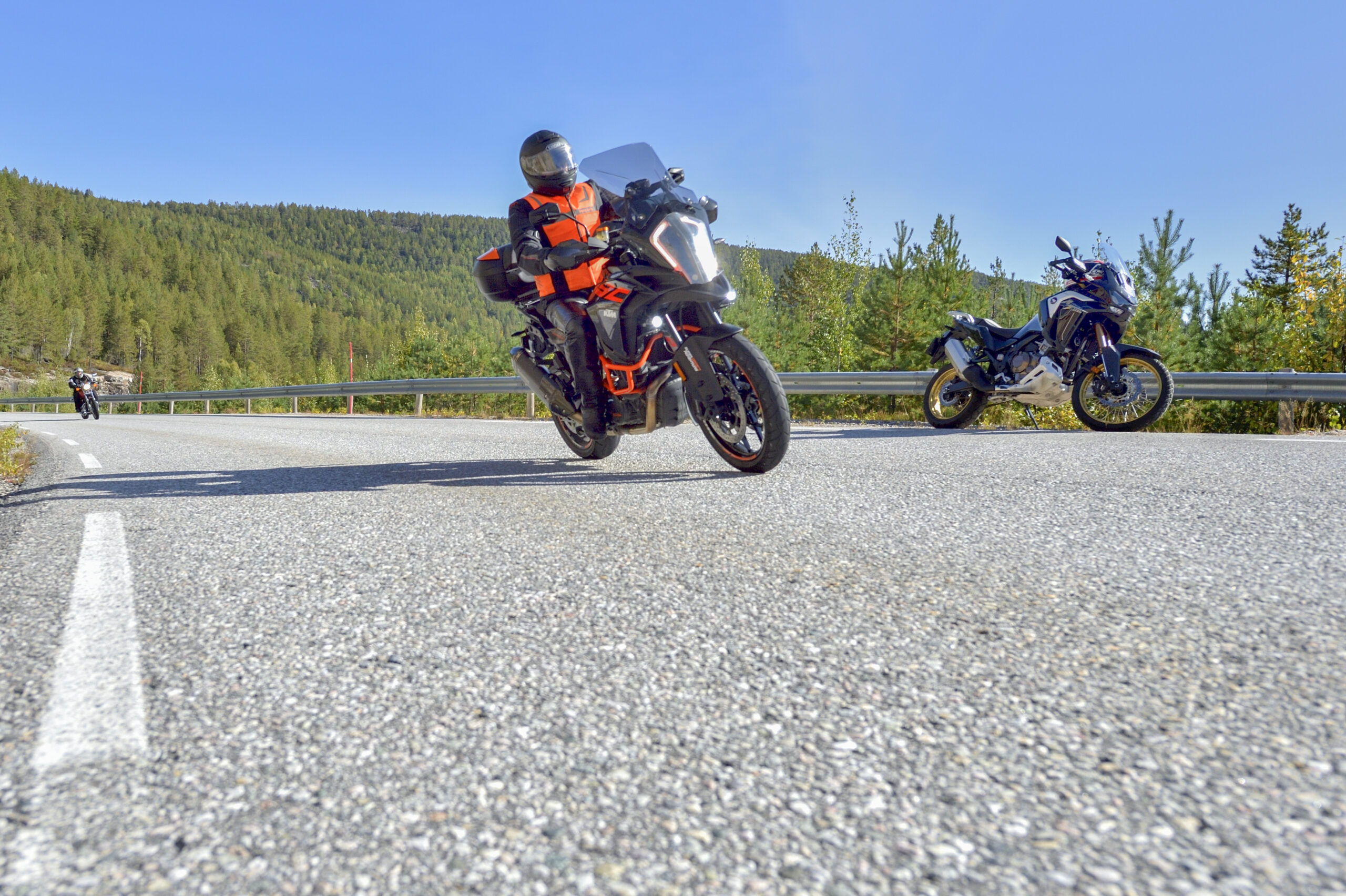
After a delicious breakfast buffet at Straand Hotel, we start south along Nisser down to Treungen. In the bright morning sun, it's not hard to understand that Norway's artists find a lot of inspiration in Telemark. It's tempting to let our eyes drift over the landscape, but we keep our focus on the next turn. With a brand new Africa Twin between my legs, I'm thinking "you won't get much better now".

In Treungen, we stop for coffee, brag a little and visit the Z-Museum before getting into the saddle and heading east over Gautefall towards Bostrak. Luckily, it’s not ski season at Gautefallheia yet, so we continue via Drangedal to Lunde. The sun is shining at the end of September and we’re ready for lunch at the outdoor restaurant at Lunde Slusekro. If you check the timetable for the Telemark Canal before embarking on this route, you can catch one of the historic canal ships through the lock.

During lunch, it is suggested that we make a small adjustment to the route. We’re going north to Bø, but we’re going south of Seljordvatn instead of the main road, and this was the icing on the cake we needed. Who says no to a narrow, winding, little-traveled road, along a lake where it is said that a sea serpent lives? Grimly good. From Seljord, we drive a short distance on the E134 before turning off towards Kvitseid. European road on a hubriding route? Sure, there’s no problem enjoying a few stretches of winding European road in Telemark, this isn’t the E18.

The trip ends up the famous Kvitseidkleivene and on down to Vrådal. Our spirits are high and we’re laughing all the way, we have a lot to talk about on the terrace tonight. We barely managed to get down the sidewalk before tradition dictates that an arrival beer was in hand. Have a good trip!

Support

How can I navigate the route?

This primarily depends on whether you have a GPS installed, navigate by App on your mobile phone or prefer paper printing.
Here we describe the most common workflows:

  • Download the GPX file for the route of your choice to your computer
  • Import the file to your route planning tool (e.g. Garmin’s Basecamp or Tom Tom’s MyDrive)
  • Export the route to your GPS in the usual way
  • Check that the route is calculated correctly in your GPS (It is recommended that the GPS is set to select the fastest route and any avoidance is turned off for the route to be calculated as described).
  • Have a good trip!
  • Download the GPX file for the route of your choice to your mobile phone
  • Send/open the file in the app that belongs to your GPS model (e.g. Garmin’s Drive or Tom Tom’s MyDrive)
  • Send the route to your GPS (follow instructions that come with your GPS and App)
  • Check that the route is calculated correctly in your GPS (It is recommended that the GPS is set to select the fastest route and any avoidance is turned off for the route to be calculated as described).
  • Have a good trip!

Many of the routes on Hubriding use the app Ride with GPS app for route planning and navigation of the routes.
You can download a free version or pay for extended use.
Click on the Send to Device link on the map on this page, when the app has started and you see the current route, press Navigate and then just follow the route.

  • Click on the link in the map on the page and the map will open in a new window
  • Print the map, with or without description
  • Have a good trip!