Warning: foreach() argument must be of type array|object, bool given in /var/www/vhosts/hubriding.no/httpdocs/wp-content/plugins/hubriding_cf/includes/php/hub_dynamic_return.php on line 12
HubridingStraand Hotel

Proximity tour in Vrådal

Route 1

Proximity tour in Vrådal

The route is defined as normal

Routes defined as normal are suitable for most people who have experience with somewhat demanding sections.

Tid
2:00 timer

Length
23 km

Popularity
7.5 av 10

Assessed by the number of clicks on this page in the last two weeks compared to all Hubriding routes.

Route 1: Proximity tour in Vrådal

 STT1_-_Naertur_i_Vradal.gpx  20 KB
Download

It is recommended that the GPS is set to select the fastest route and any avoidance turned off for the route to be calculated as described.

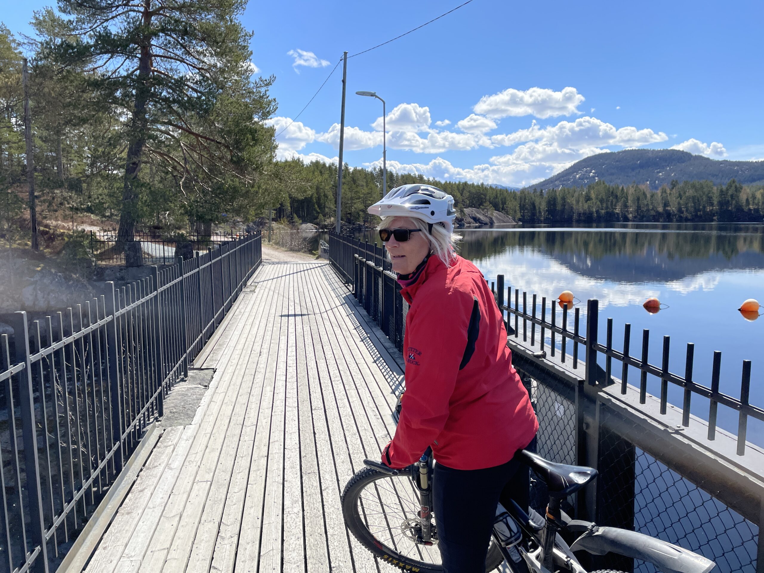
The tour familiarizes you with the hotel's surroundings and is a flat and easy ride for everyone in beautiful Vrådal.
You cycle west through the town center and out towards the golf course on Fossøy, where you'll find a town center with some shops, swimming opportunities, a nature trail and a café if you want to visit.

You’ll also pass Småstraum sluice with the sluice museum, and from here there’s a gravel road and eventually a good tractor road out towards the headland below Tarjeisberget.
You’ll be cycling the same road a little way back, so just turn around whenever you feel like it.
From the end of the tractor road, you can take a quiet “summit tour” up Tarjeisberget, where you get a fantastic view of Hægefjell to the west and Nisser to the south.
However, it’s both steep and winding up and down here, so be careful if you take this extra step.
On the way back, you might be tempted to take a swim on the rocks or on one of the many small beaches here.
On the way back, the trail turns up towards Vrådal Panorama where, just before the barrier, you turn right onto the cart track (ski trail) around Holtetjønn and over the Storstraum bridge.
Stranda in the city center or Straand Sommerland are also good recommendations as a nice end to the trip.
When the trail was laid in early May, we saw Arctic char in the forest and a pair of cranes along the road.

Support

How can I navigate the route?

This primarily depends on whether you have a GPS installed, navigate by App on your mobile phone or prefer paper printing.
Here we describe the most common workflows:

  • Download the GPX file for the route of your choice to your computer
  • Import the file to your route planning tool (e.g. Garmin’s Basecamp or Tom Tom’s MyDrive)
  • Export the route to your GPS in the usual way
  • Check that the route is calculated correctly in your GPS (It is recommended that the GPS is set to select the fastest route and any avoidance is turned off for the route to be calculated as described).
  • Have a good trip!
  • Download the GPX file for the route of your choice to your mobile phone
  • Send/open the file in the app that belongs to your GPS model (e.g. Garmin’s Drive or Tom Tom’s MyDrive)
  • Send the route to your GPS (follow instructions that come with your GPS and App)
  • Check that the route is calculated correctly in your GPS (It is recommended that the GPS is set to select the fastest route and any avoidance is turned off for the route to be calculated as described).
  • Have a good trip!

Many of the routes on Hubriding use the app Ride with GPS app for route planning and navigation of the routes.
You can download a free version or pay for extended use.
Click on the Send to Device link on the map on this page, when the app has started and you see the current route, press Navigate and then just follow the route.

  • Click on the link in the map on the page and the map will open in a new window
  • Print the map, with or without description
  • Have a good trip!