Route 4

North county

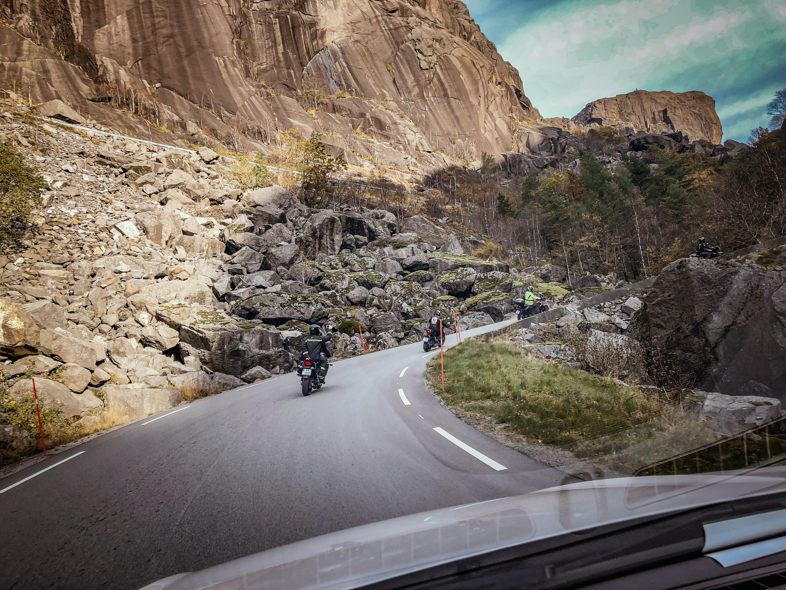
On this trip we focus on Nordfylket and Vikingland. The journey starts on the E39 north towards the Mortavika ferry quay. Then head to Skudeneshavn on the southern tip of Karmøy, follow the Fv47 signs to reach the most beautiful towns in the west, which can also boast the title of Norway’s summer town. A place where a well-deserved ice cream should be on the agenda.

The route is defined as hard

Routes defined as demanding are suitable for people with experience in demanding parties.

Length
252 km

Popularity
7.5 av 10

Assessed by the number of clicks on this page in the last two weeks compared to all Hubriding routes.

Then continue towards Åkrahamn on the way to Kopervik, which has a great mix of old and new buildings from the Silk Age.

The tour then heads towards Haugesund, where a detour to St. Olav’s Church at Avaldsnes is recommended.
This is Norway’s oldest royal seat, where Harald Hårfagre built one of his royal farms and where the Viking farm on Karmøy is located.
Afterwards, the tour continues to Haugesund where we recommend a lunch in the charming smeda sundet, possibly followed by a trip to Harald støtten.
Before returning to Sandnes, we visit Aksdal and Arsvågen for a well-deserved 3 courses with something good in the glass either at Gamlaværket gjestegiveri or at the venerable Kronen Gaard Hotell.

Support

How can I navigate the route?

This primarily depends on whether you have a GPS installed, navigate by App on your mobile phone or prefer paper printing.
Here we describe the most common workflows:

  • Download the GPX file for the route of your choice to your computer
  • Import the file to your route planning tool (e.g. Garmin’s Basecamp or Tom Tom’s MyDrive)
  • Export the route to your GPS in the usual way
  • Check that the route is calculated correctly in your GPS (It is recommended that the GPS is set to select the fastest route and any avoidance is turned off for the route to be calculated as described).
  • Have a good trip!
  • Download the GPX file for the route of your choice to your mobile phone
  • Send/open the file in the app that belongs to your GPS model (e.g. Garmin’s Drive or Tom Tom’s MyDrive)
  • Send the route to your GPS (follow instructions that come with your GPS and App)
  • Check that the route is calculated correctly in your GPS (It is recommended that the GPS is set to select the fastest route and any avoidance is turned off for the route to be calculated as described).
  • Have a good trip!

Many of the routes on Hubriding use the app Ride with GPS app for route planning and navigation of the routes.
You can download a free version or pay for extended use.
Click on the Send to Device link on the map on this page, when the app has started and you see the current route, press Navigate and then just follow the route.

  • Click on the link in the map on the page and the map will open in a new window
  • Print the map, with or without description
  • Have a good trip!