Warning: foreach() argument must be of type array|object, bool given in /var/www/vhosts/hubriding.no/httpdocs/wp-content/plugins/hubriding_cf/includes/php/hub_dynamic_return.php on line 12
HubridingNermo Hotel

The Hafjell Round

Route 1

The Hafjell Round

A relatively easy hike in the mountains starting from the large parking lot just before Pellestova at 970 m. Lots of nice gravel road, but also somewhat varying quality of the surface and a couple of slightly demanding climbs midway. Relatively easy hike in the mountains starting from the large parking lot just before Pellestova at 970 meters above sea level. Nice gravel road for the most part and some gravel paths. Towards the end there is also a somewhat steep and bumpy cart track.

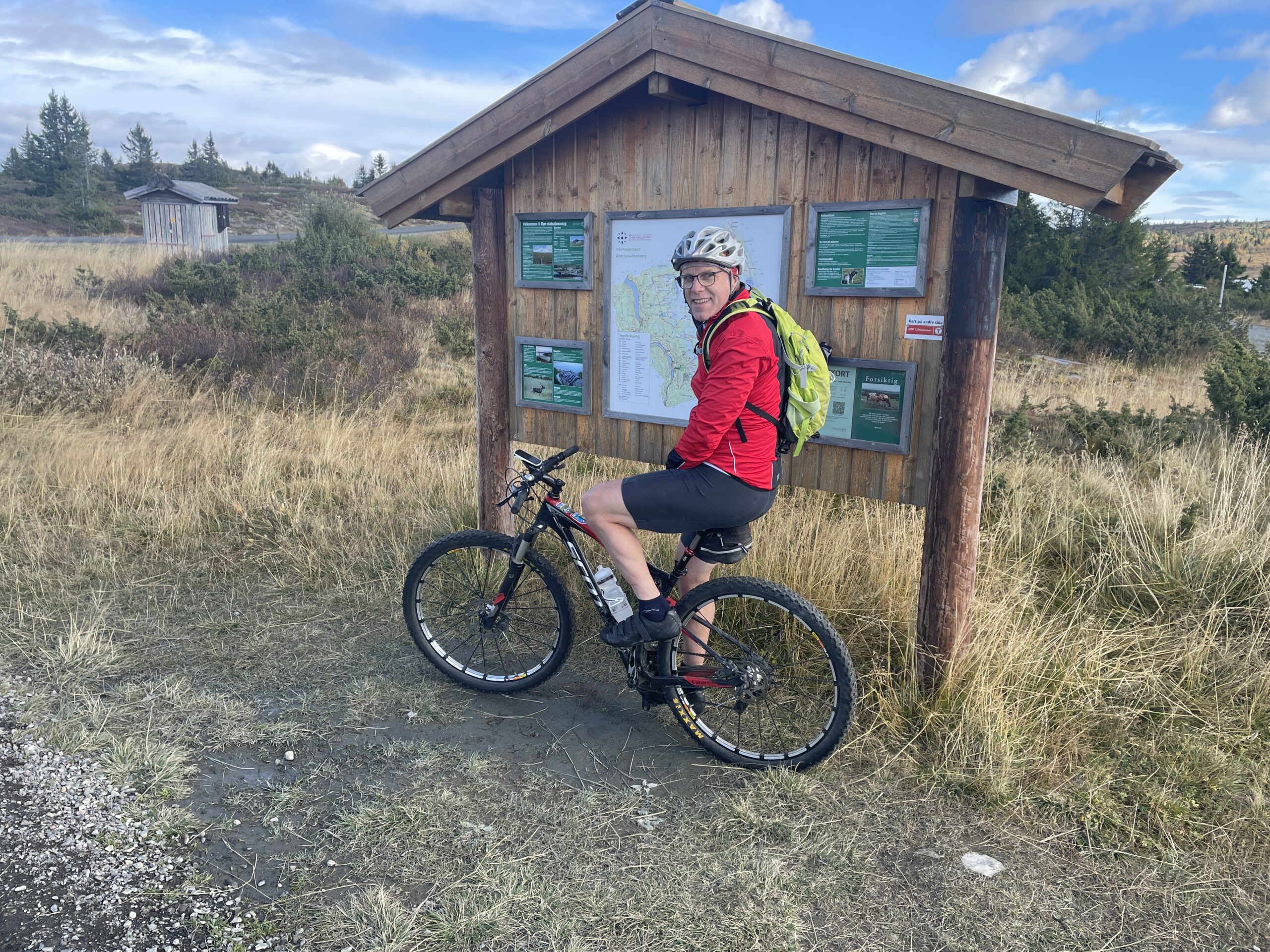
The route is defined as easy

Routes defined as easy are suitable for everyone regardless of experience.

Tid
2:30 timer

Length
20 km

Popularity
7.5 av 10

Assessed by the number of clicks on this page in the last two weeks compared to all Hubriding routes.

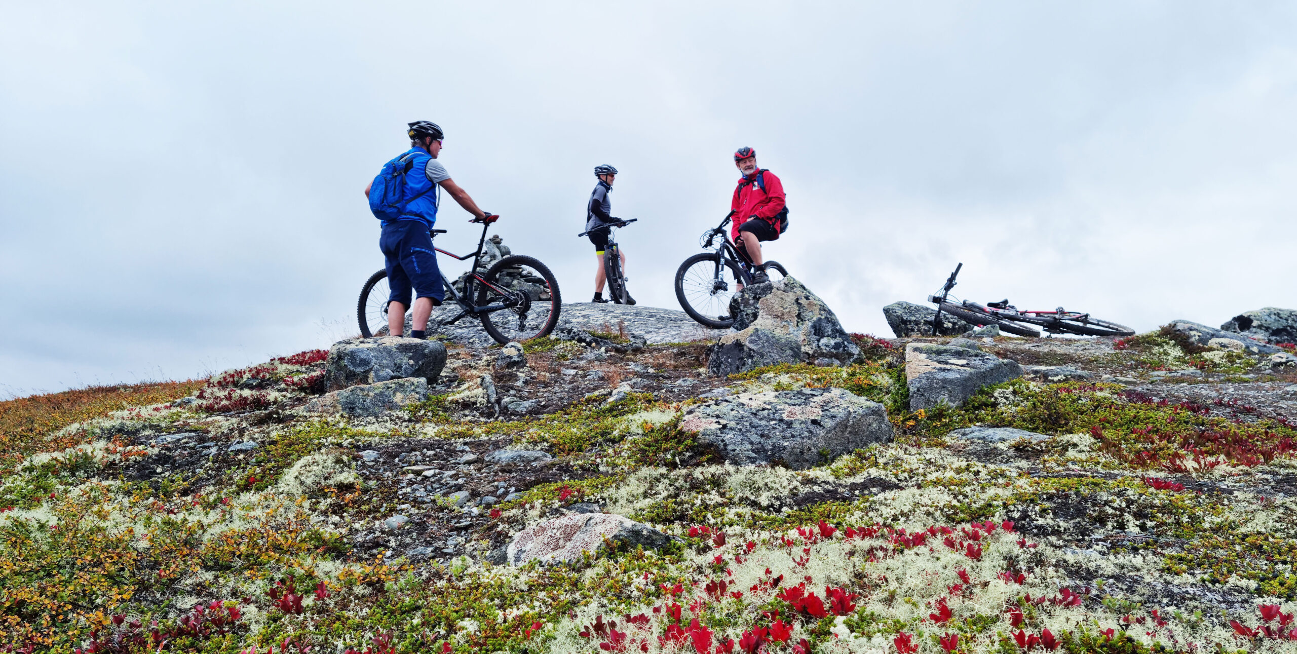
The route follows a good gravel road from Pellestova and towards Lie-Hornsjøvegen.
Along the way, you'll pass several active farms.
When you reach Lie-Hornsjøvegen, you can cross it and take a short detour north (about 1 km) to Sjøsetra.
Here there are visiting farms in the summer with cows, goats, rabbits and chickens.
They also have a restaurant and can be a nice stop for families with children.
They are usually open Thursday, Friday and Saturday.
Check their Facebook page for more information.

After the farm visit, continue along Lie-Hornsjøvegen for 10 kilometers.
Keep to the left and find the pleasant gravel path past Nedre Moksjøen.
NOTE!
When you see the cabin buildings at Hafjell and come to the large concrete ski crossing across the road, pay close attention – there are countless roads in all directions.
Drive under the junction, turn left onto the gravel road through the barrier and eventually alongside and south of the cabin field.
Here you’ll find slightly poorer surfaces and an uphill section where you can warm up!
Eventually you’ll pass under several of the lifts in the Hafjell resort on the way to Ilsetra and Pellestova.
On this stretch, you must stop and enjoy the view up Gudbrandsdalen along Lågen.
If you’re hungry, you’ll pass both Restaurant Vidsyn and Gaia-stova.
Check for opening hours.
If you’re not too tired after your hike, you might be tempted to cycle down one of the trails in Hafjell Bike Park.
In that case, green trails 7 and 16 and blue trails 5, 12 and 14 are exciting options.
The way they are built means that they are challenging for everyone based on their own skill and speed.
In general, the mountain hikes from Nermo hotel can be used as a framework for several experiences.
They are mostly on gravel roads, but at the same time they go through some of Norway’s finest terrain for trail biking.
On our tours you’ll find everything from fantastic flow trails to more demanding trails for the experienced.
Check the web or signs along the way marked with bikes in the colors green (easiest), blue, red or the most demanding black.
HAVE A GOOD RIDE!

Support

How can I navigate the route?

This primarily depends on whether you have a GPS installed, navigate by App on your mobile phone or prefer paper printing.
Here we describe the most common workflows:

  • Download the GPX file for the route of your choice to your computer
  • Import the file to your route planning tool (e.g. Garmin’s Basecamp or Tom Tom’s MyDrive)
  • Export the route to your GPS in the usual way
  • Check that the route is calculated correctly in your GPS (It is recommended that the GPS is set to select the fastest route and any avoidance is turned off for the route to be calculated as described).
  • Have a good trip!
  • Download the GPX file for the route of your choice to your mobile phone
  • Send/open the file in the app that belongs to your GPS model (e.g. Garmin’s Drive or Tom Tom’s MyDrive)
  • Send the route to your GPS (follow instructions that come with your GPS and App)
  • Check that the route is calculated correctly in your GPS (It is recommended that the GPS is set to select the fastest route and any avoidance is turned off for the route to be calculated as described).
  • Have a good trip!

Many of the routes on Hubriding use the app Ride with GPS app for route planning and navigation of the routes.
You can download a free version or pay for extended use.
Click on the Send to Device link on the map on this page, when the app has started and you see the current route, press Navigate and then just follow the route.

  • Click on the link in the map on the page and the map will open in a new window
  • Print the map, with or without description
  • Have a good trip!