Warning: foreach() argument must be of type array|object, bool given in /var/www/vhosts/hubriding.no/httpdocs/wp-content/plugins/hubriding_cf/includes/php/hub_dynamic_return.php on line 12

Route 5

Akkjsøsetra

This is a long and beautiful hike just north of the Hafjell area. It takes you through gently undulating and varied terrain past several pleasant farmsteads with Akksjøsetra as a highlight.

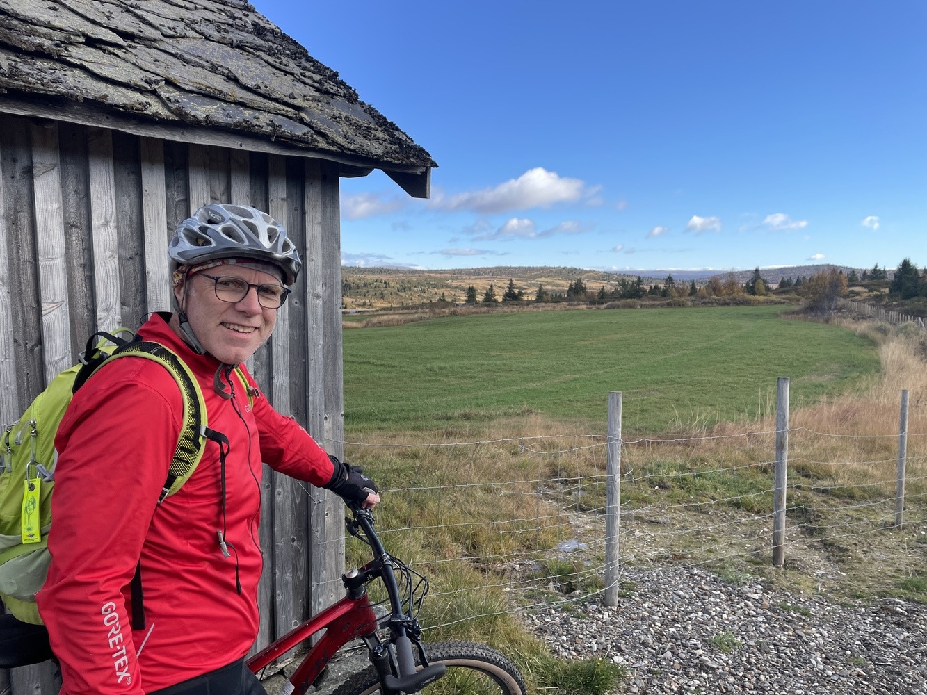
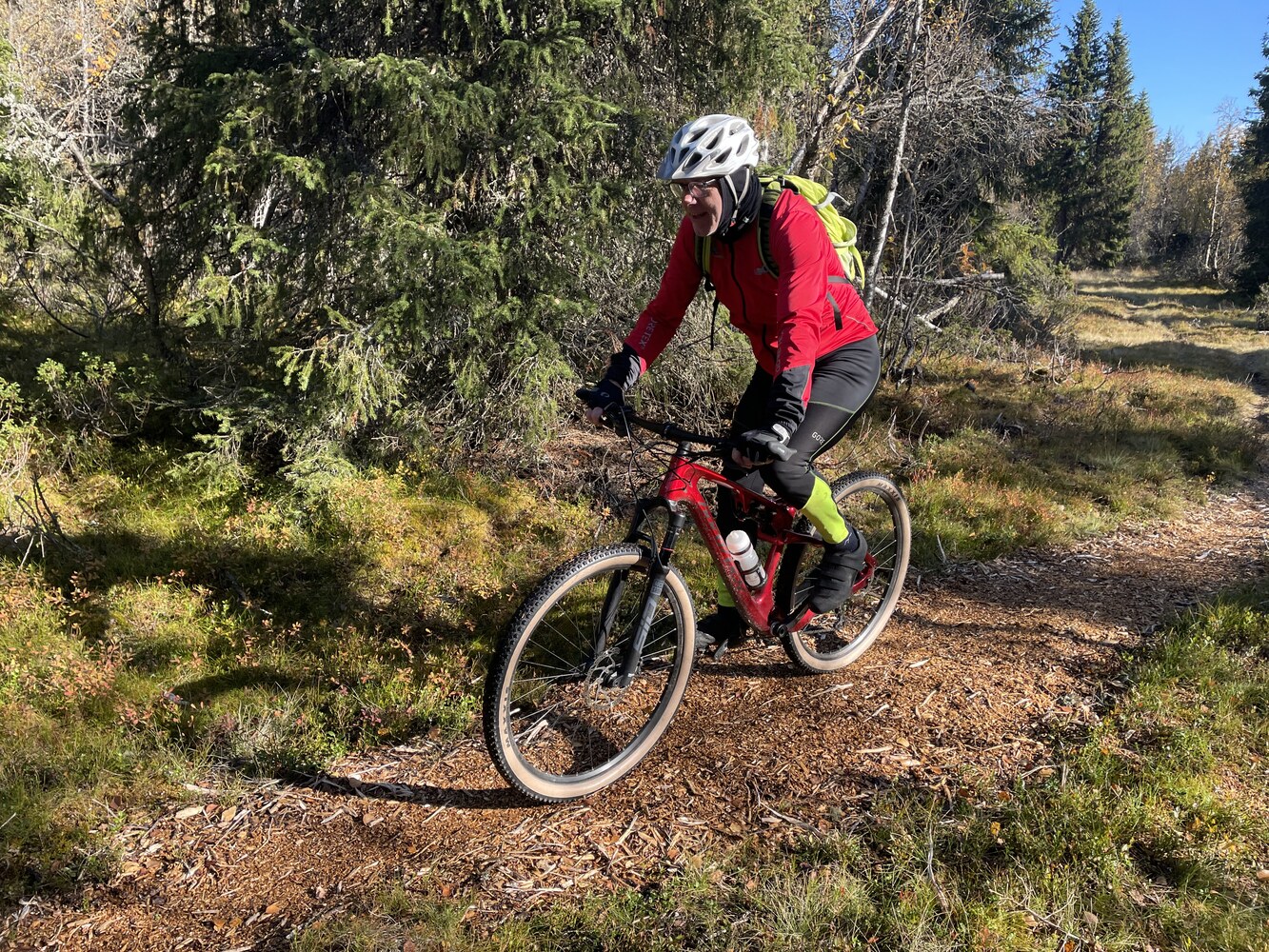
The route is defined as normal

Routes defined as normal are suitable for most people who have experience with somewhat demanding sections.

Tid
3:30 timer

Length
50 km

Popularity
7.5 av 10

Assessed by the number of clicks on this page in the last two weeks compared to all Hubriding routes.

The tour takes place in the mountains and we recommend that you take the car up to get a good start.
Drive north towards Tretten and up Mitdbygdsveien past Korsbakken (toll) and up to Steinsetra for parking.
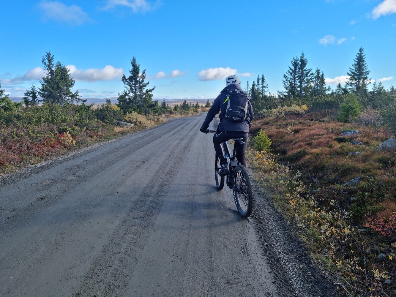
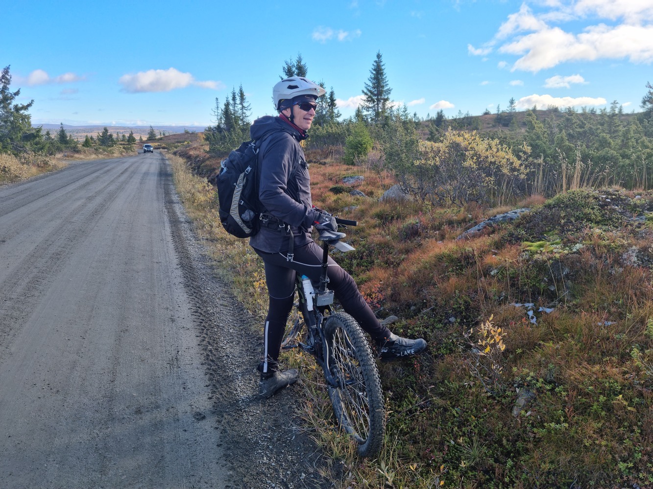
From here it's easy terrain and you'll be well above the tree line with lovely views north over Brettdalsvatnet and towards Rondane in good weather.

You pass Akksjøsetra after about 10 km and from here it’s mostly downhill until you cross the Åsta river, first to the east and then back to the west.
At the last crossing point, it is particularly beautiful and suitable for a rest, to get new energy for the climbs up towards the high mountains again.
Here you pass Augseter on your way to Rognhaugen and towards Steinsetra again.
At the end of the hike, we’ve chosen a short section of trail to avoid a very steep descent, which in turn leads to a very steep hill back up to the car.
The trail is partly paved with wood chips and only 500 meters long, so you save a tough climb at the very end of the trip.
In general, the mountain hikes from Nermo hotel can be used as a framework for several experiences.
They are mostly on gravel roads, but at the same time they go through some of Norway’s finest terrain for trail biking.
On our tours you’ll find everything from fantastic flow trails to more demanding trails for the experienced.
Check the web or signs along the way marked with bikes in the colors green (easiest), blue, red or the most demanding black.
HAVE A GOOD RIDE!

Support

How can I navigate the route?

This primarily depends on whether you have a GPS installed, navigate by App on your mobile phone or prefer paper printing.
Here we describe the most common workflows:

  • Download the GPX file for the route of your choice to your computer
  • Import the file to your route planning tool (e.g. Garmin’s Basecamp or Tom Tom’s MyDrive)
  • Export the route to your GPS in the usual way
  • Check that the route is calculated correctly in your GPS (It is recommended that the GPS is set to select the fastest route and any avoidance is turned off for the route to be calculated as described).
  • Have a good trip!
  • Download the GPX file for the route of your choice to your mobile phone
  • Send/open the file in the app that belongs to your GPS model (e.g. Garmin’s Drive or Tom Tom’s MyDrive)
  • Send the route to your GPS (follow instructions that come with your GPS and App)
  • Check that the route is calculated correctly in your GPS (It is recommended that the GPS is set to select the fastest route and any avoidance is turned off for the route to be calculated as described).
  • Have a good trip!

Many of the routes on Hubriding use the app Ride with GPS app for route planning and navigation of the routes.
You can download a free version or pay for extended use.
Click on the Send to Device link on the map on this page, when the app has started and you see the current route, press Navigate and then just follow the route.

  • Click on the link in the map on the page and the map will open in a new window
  • Print the map, with or without description
  • Have a good trip!