Warning: foreach() argument must be of type array|object, bool given in /var/www/vhosts/hubriding.no/httpdocs/wp-content/plugins/hubriding_cf/includes/php/hub_dynamic_return.php on line 12

Route 1

The beaches of Jær

The route takes you through an open landscape between sky and sea, surrounded by stunning sandy beaches and views made to be enjoyed. Have lunch at Sola Strand Hotell, an ice cream at Ølbergstranden and a better dinner at Kronen Gaard Hotell.

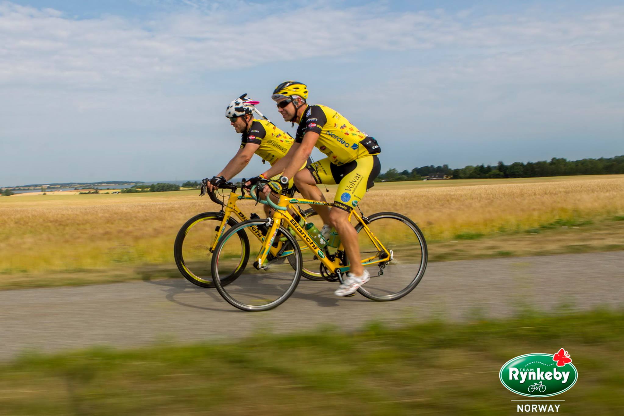
The route is defined as easy

Routes defined as easy are suitable for everyone regardless of experience.

Tid
3:30 timer

Length
70 km

Popularity
7.5 av 10

Assessed by the number of clicks on this page in the last two weeks compared to all Hubriding routes.

The journey starts at GamlaVærket or Kronen Gaard Hotel.
After 30 minutes, you can stretch your legs at one of Europe's finest beaches.

The tour then continues to Ølberg where you can enjoy the view along with a well-deserved soft ice cream.
Before the route takes you past Sele and Borestranden and into the magical landscape of Nordsjøvegen.
The last beach before returning to the hotel is the idyllic Drill Beach, where we recommend ending with a refreshing dip or why not a surfing lesson with one of our partners if you have the energy left?
Once there, the chefs will be waiting for you, so after a well-deserved rest in historic surroundings, treat yourself to a delicious three-course dinner with something good in the glass while you plan tomorrow’s route!

Support

How can I navigate the route?

This primarily depends on whether you have a GPS installed, navigate by App on your mobile phone or prefer paper printing.
Here we describe the most common workflows:

  • Download the GPX file for the route of your choice to your computer
  • Import the file to your route planning tool (e.g. Garmin’s Basecamp or Tom Tom’s MyDrive)
  • Export the route to your GPS in the usual way
  • Check that the route is calculated correctly in your GPS (It is recommended that the GPS is set to select the fastest route and any avoidance is turned off for the route to be calculated as described).
  • Have a good trip!
  • Download the GPX file for the route of your choice to your mobile phone
  • Send/open the file in the app that belongs to your GPS model (e.g. Garmin’s Drive or Tom Tom’s MyDrive)
  • Send the route to your GPS (follow instructions that come with your GPS and App)
  • Check that the route is calculated correctly in your GPS (It is recommended that the GPS is set to select the fastest route and any avoidance is turned off for the route to be calculated as described).
  • Have a good trip!

Many of the routes on Hubriding use the app Ride with GPS app for route planning and navigation of the routes.
You can download a free version or pay for extended use.
Click on the Send to Device link on the map on this page, when the app has started and you see the current route, press Navigate and then just follow the route.

  • Click on the link in the map on the page and the map will open in a new window
  • Print the map, with or without description
  • Have a good trip!