Warning: foreach() argument must be of type array|object, bool given in /var/www/vhosts/hubriding.no/httpdocs/wp-content/plugins/hubriding_cf/includes/php/hub_dynamic_return.php on line 12
HubridingFlatland

Historical journey through fjord villages

Route 4

Historical journey through fjord villages

A historical dive along the Dalsfjord and Førdefjord, crossed with natural and cultural heritage sites such as Osen Gard and Osfossen.

The route is defined as normal

Routes defined as normal are suitable for most people who have experience with somewhat demanding sections.

Tid
4:00 timer

Length
200 km

Popularity
7.5 av 10

Assessed by the number of clicks on this page in the last two weeks compared to all Hubriding routes.

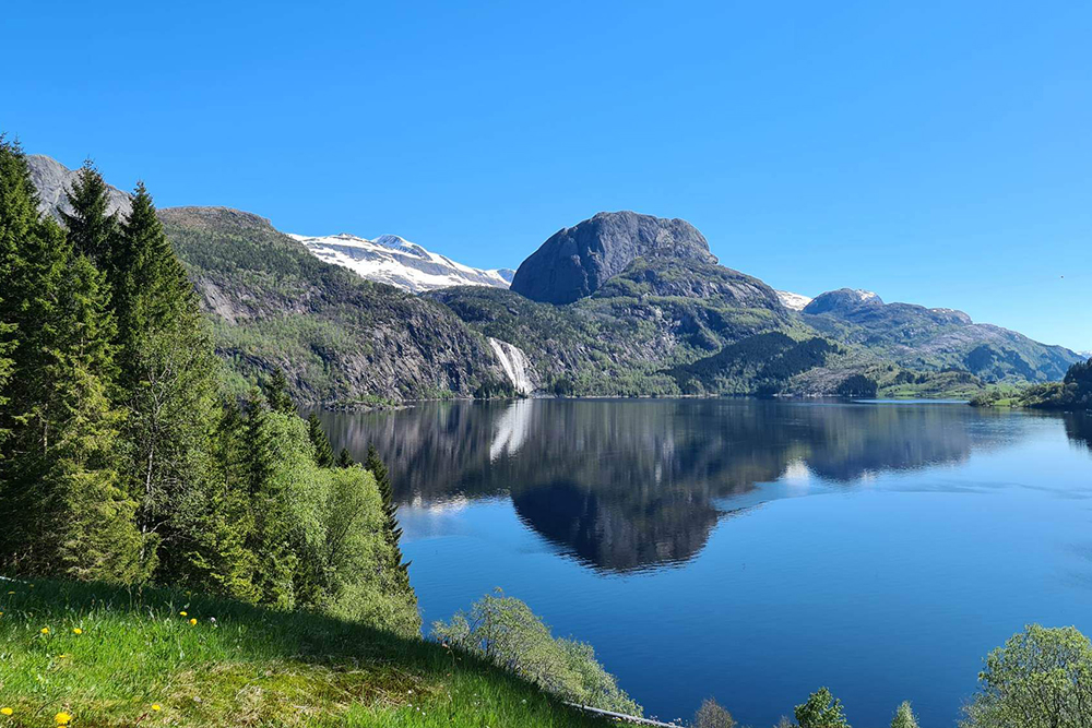
At the start you follow the tourist road to Sande.
The route then passes Osfossen with Northern Europe's oldest salmon ladder and the millennium town of Osen Gard.
The tour continues along the Dalsfjord to Dale, over the Dalsfjord bridge to Askvoll, then to the Stongfjord and along the Førdefjord to Førde.
On to Moskog and back to Flatheim on the National Tourist Route through lush countryside, along lakes and waterfalls.

Long description is missing

Support

How can I navigate the route?

This primarily depends on whether you have a GPS installed, navigate by App on your mobile phone or prefer paper printing.
Here we describe the most common workflows:

  • Download the GPX file for the route of your choice to your computer
  • Import the file to your route planning tool (e.g. Garmin’s Basecamp or Tom Tom’s MyDrive)
  • Export the route to your GPS in the usual way
  • Check that the route is calculated correctly in your GPS (It is recommended that the GPS is set to select the fastest route and any avoidance is turned off for the route to be calculated as described).
  • Have a good trip!
  • Download the GPX file for the route of your choice to your mobile phone
  • Send/open the file in the app that belongs to your GPS model (e.g. Garmin’s Drive or Tom Tom’s MyDrive)
  • Send the route to your GPS (follow instructions that come with your GPS and App)
  • Check that the route is calculated correctly in your GPS (It is recommended that the GPS is set to select the fastest route and any avoidance is turned off for the route to be calculated as described).
  • Have a good trip!

Many of the routes on Hubriding use the app Ride with GPS app for route planning and navigation of the routes.
You can download a free version or pay for extended use.
Click on the Send to Device link on the map on this page, when the app has started and you see the current route, press Navigate and then just follow the route.

  • Click on the link in the map on the page and the map will open in a new window
  • Print the map, with or without description
  • Have a good trip!