Route 3
Herdalssetra
The route is defined as normal
Routes defined as normal are suitable for most people who have experience with somewhat demanding sections.Length
246 km
Popularity
7.5 av 10
Route 3: Herdalssetra
It is recommended that the GPS is set to select the fastest route and any avoidance turned off for the route to be calculated as described.
As there are only two ways in and out of Geiranger, Route 3 also goes out to the west, but the bends and climb up past Ørnesvingen are so much fun that it doesn't matter.
When you arrive in Eidsdal, turn right and drive east on winding roads heading into Norddal and the gravel road that takes you up to Herdalssetra.
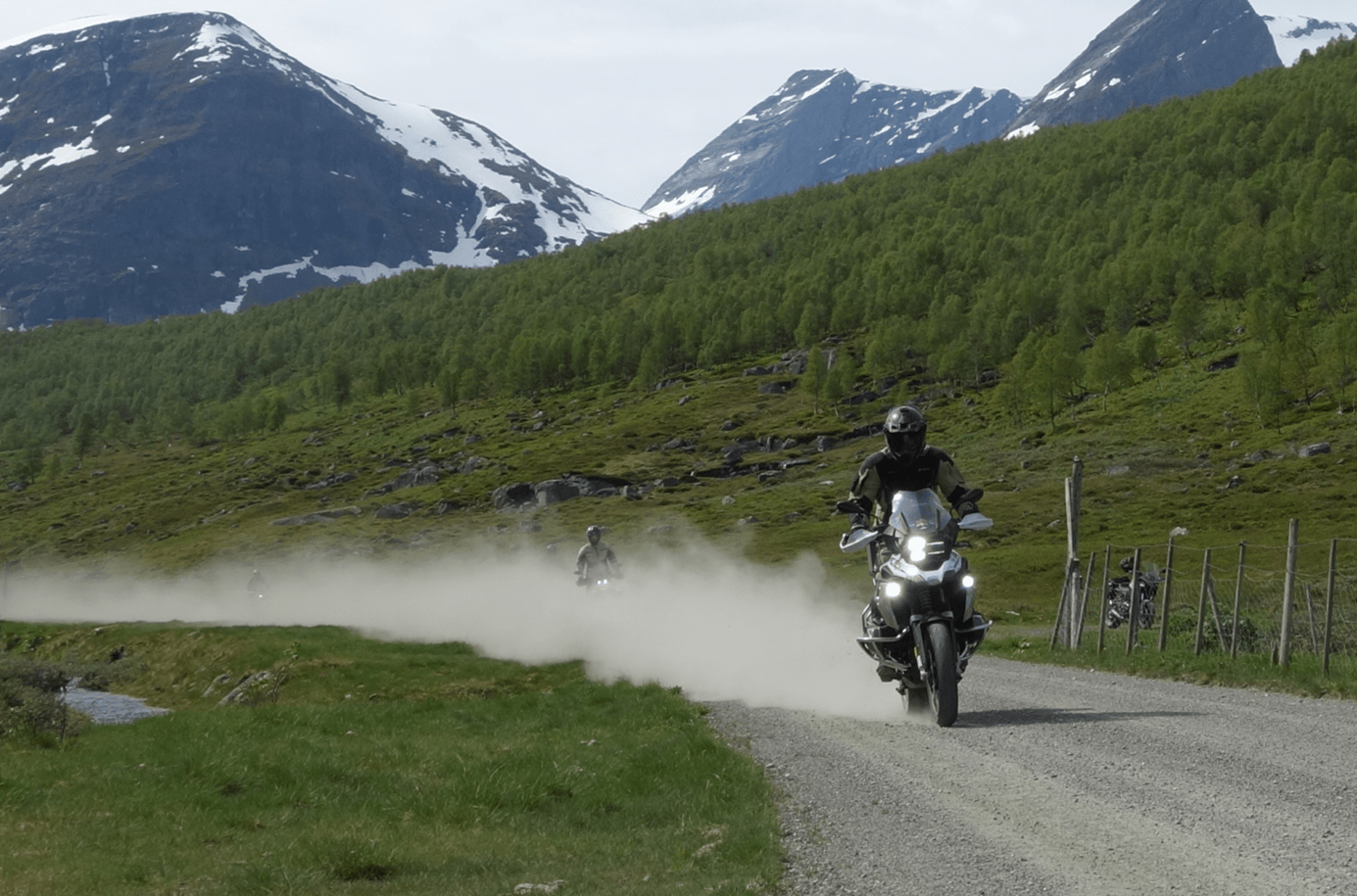
The gravel road, which is about 10 km long, starts some way into the valley and has a gradient of as much as 22 degrees, this stretch of road is simply a great experience.
If you don’t like such challenges, you can take the ferry over to Linge and Valldal and choose the trip along Tafjordvegen to Zakariasdammen, which is also a great experience.
Several of the recordings from the TV series Kompani Lauritsen were shot here.
If you follow the planned route, the hike goes from Viset over the mountain on a lovely gravel road over Vaksvikfjellet and down to Tresfjorden.
This is a delightful gravel section of about 5 km that eventually gives way to a narrow asphalt road with very hilly and fun terrain.
From Tresfjorden to Åndalsnes, you can speed up again in nice sweepers and just enjoy.
When you pass Innfjorden, consider stopping to watch the base jumpers’ wild journey in wing suits down the mountainside.
In Åndalsnes you can take the new cable car up to Romsdalseggen, a great experience and a fantastic view straight out to sea in the west.
From Åndalsnes, head up the Isterdalen valley to Trollstigen, which is an obvious attraction and experience.
The new tourist facility at the top of Trollstigen is fantastic and hundreds of motorcyclists meet here every single day.
The trip down Valldalen and the ferry landing at Linge offers wonderful bends of absolutely every kind, this is a particularly fun valley to drive in.
A relatively short and varied route with many great experiences!
Support
How can I navigate the route?
This primarily depends on whether you have a GPS installed, navigate by App on your mobile phone or prefer paper printing.
Here we describe the most common workflows:
- Download the GPX file for the route of your choice to your computer
- Import the file to your route planning tool (e.g. Garmin’s Basecamp or Tom Tom’s MyDrive)
- Export the route to your GPS in the usual way
- Check that the route is calculated correctly in your GPS (It is recommended that the GPS is set to select the fastest route and any avoidance is turned off for the route to be calculated as described).
- Have a good trip!
- Download the GPX file for the route of your choice to your mobile phone
- Send/open the file in the app that belongs to your GPS model (e.g. Garmin’s Drive or Tom Tom’s MyDrive)
- Send the route to your GPS (follow instructions that come with your GPS and App)
- Check that the route is calculated correctly in your GPS (It is recommended that the GPS is set to select the fastest route and any avoidance is turned off for the route to be calculated as described).
- Have a good trip!
Many of the routes on Hubriding use the app Ride with GPS app for route planning and navigation of the routes.
You can download a free version or pay for extended use.
Click on the Send to Device link on the map on this page, when the app has started and you see the current route, press Navigate and then just follow the route.
- Click on the link in the map on the page and the map will open in a new window
- Print the map, with or without description
- Have a good trip!