Route 1

Sky and sea

Route 1 – Sea and land represents most of what Rogaland has to offer. You’ll experience everything from short, tight bends between rocky outcrops and rocky cliffs along the coastline to large sweepers and higher speeds on the way inland. You’ll be driving through so much varied terrain, scenic beauty and lush nature that you’ll simply get choked up. You’ll need to use all your senses, because there are a lot of impressions here and they come thick and fast.

The route is defined as normal

Routes defined as normal are suitable for most people who have experience with somewhat demanding sections.

Time
3:50 hours

Length
135 km

Popularity
7.5 av 10

Assessed by the number of clicks on this page in the last two weeks compared to all Hubriding routes.

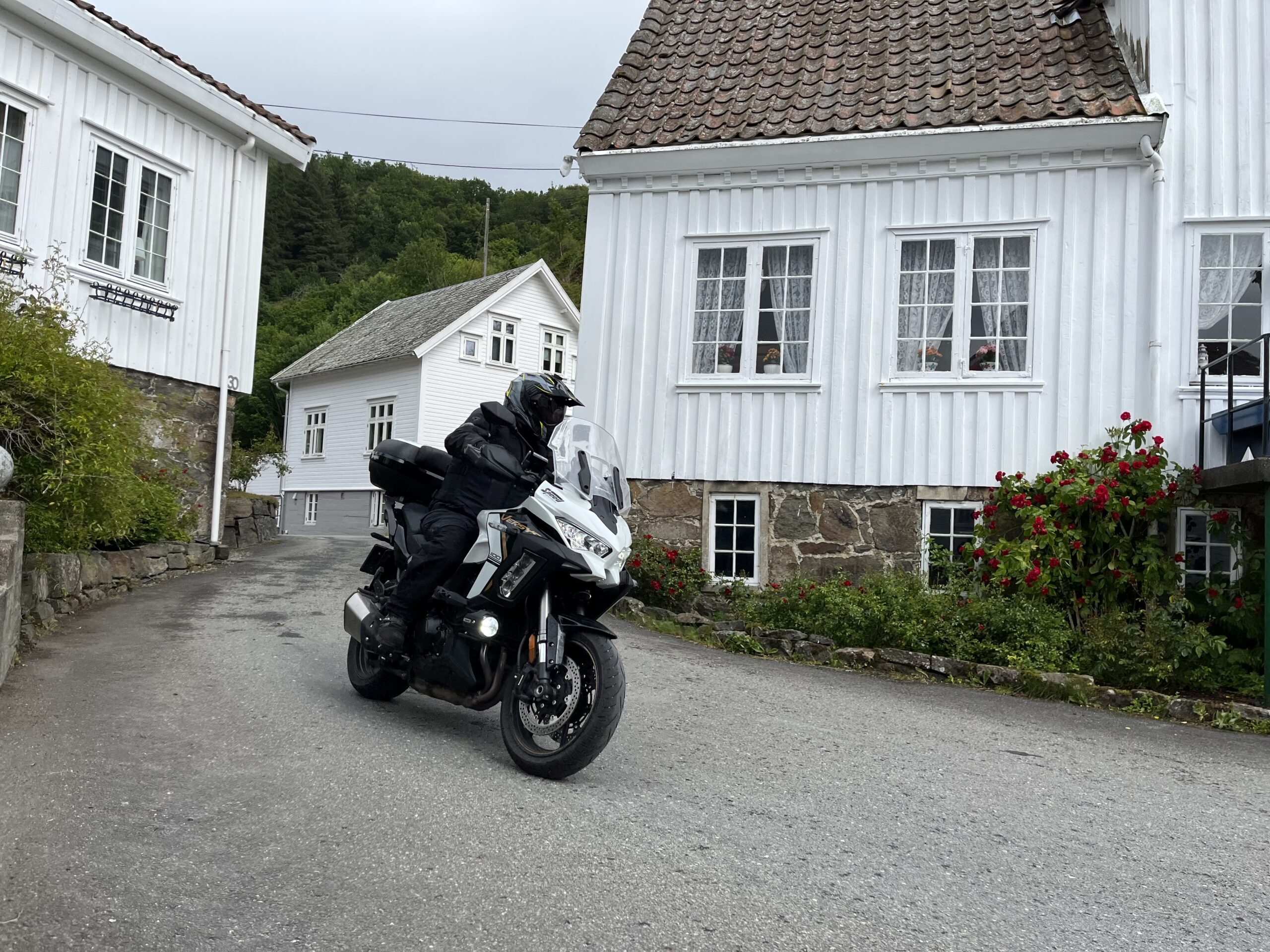
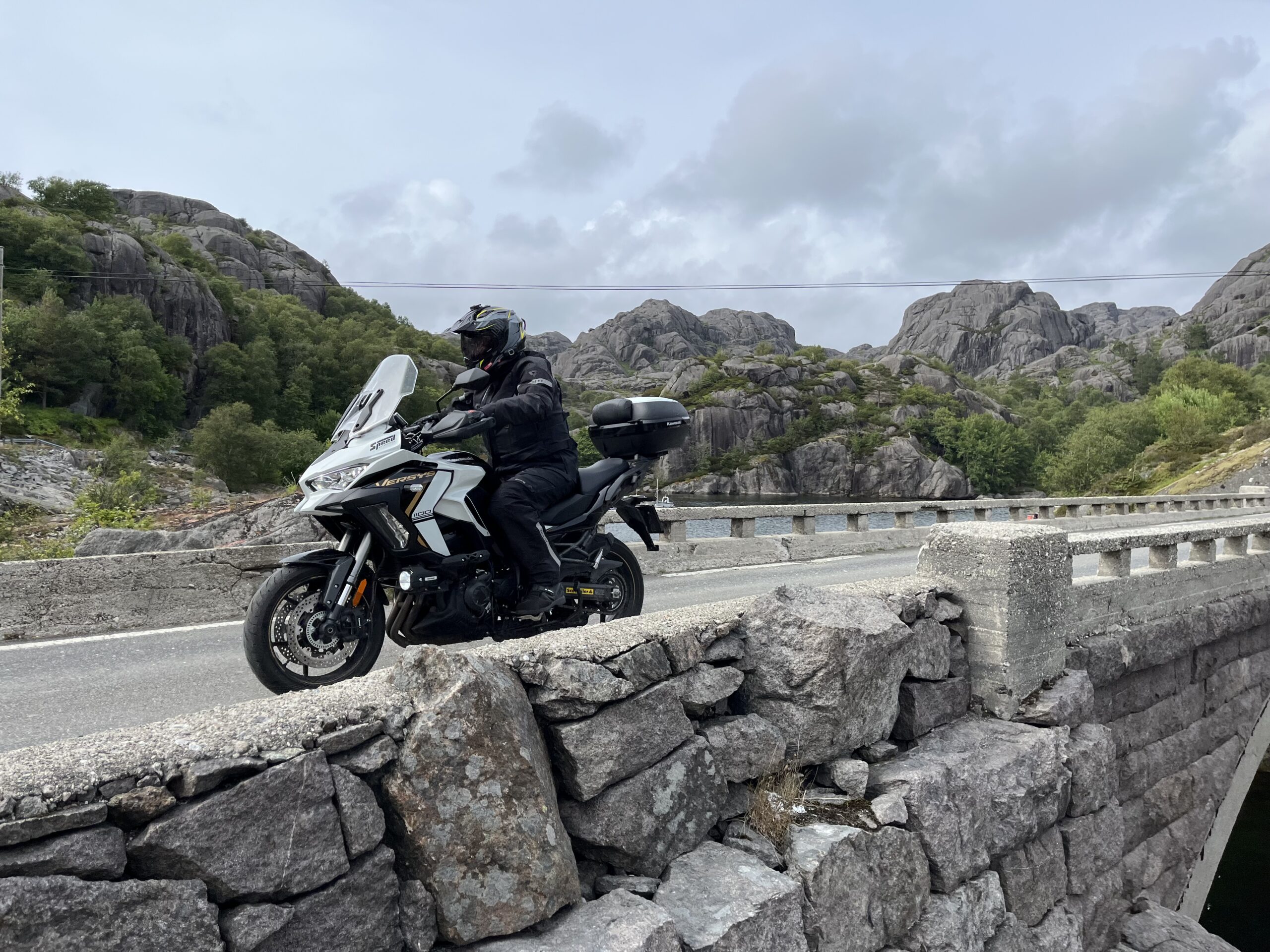
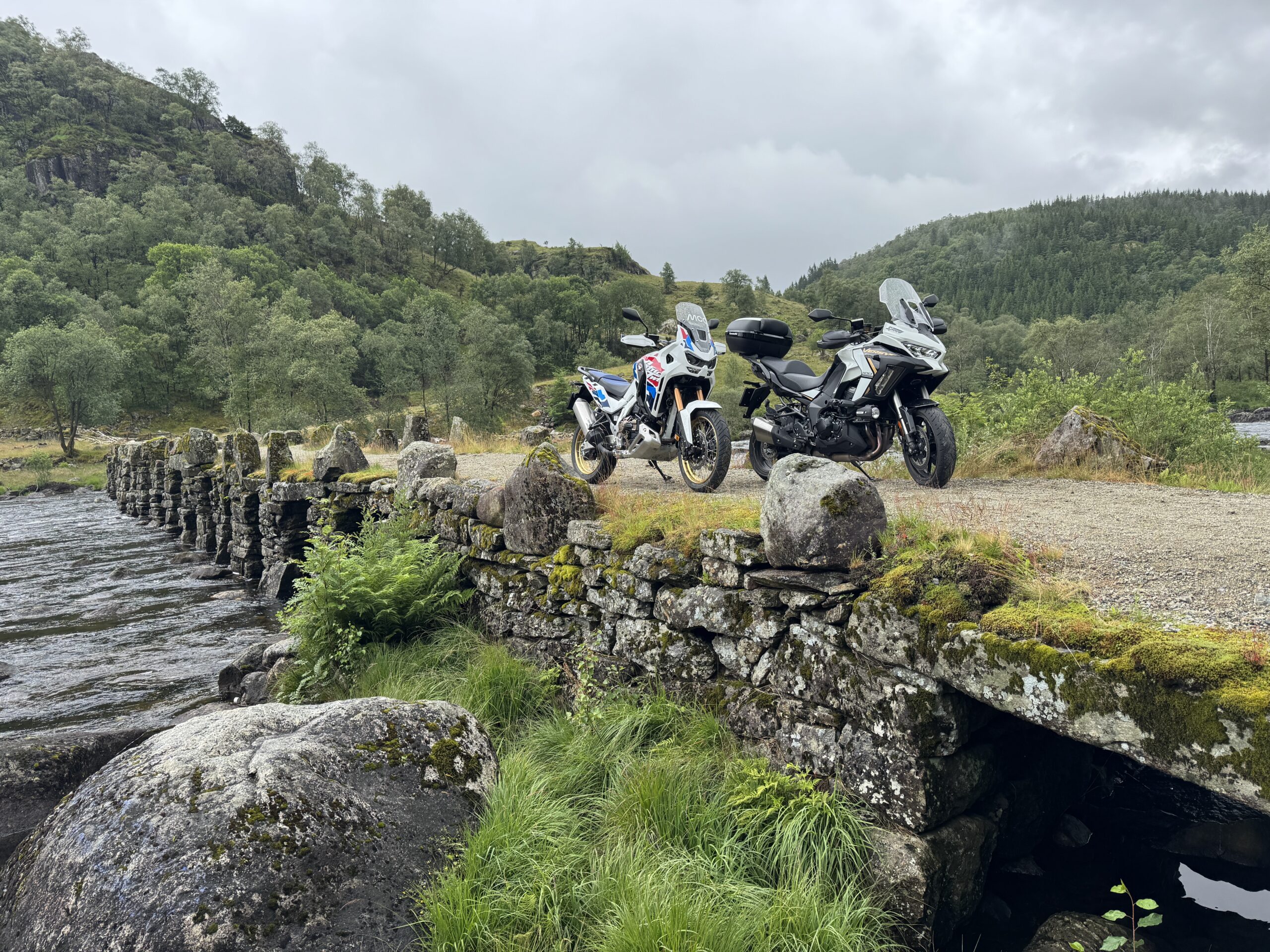
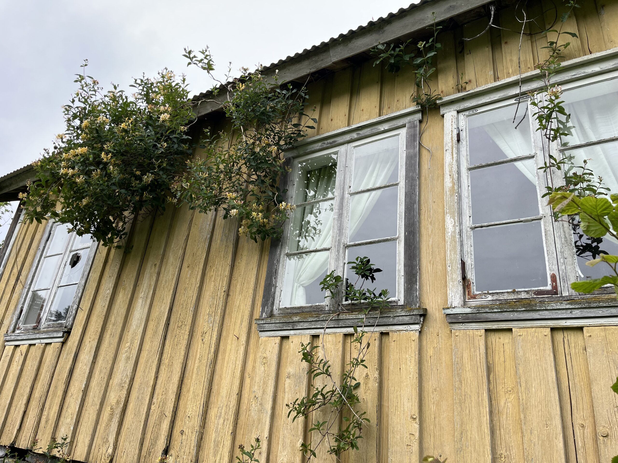
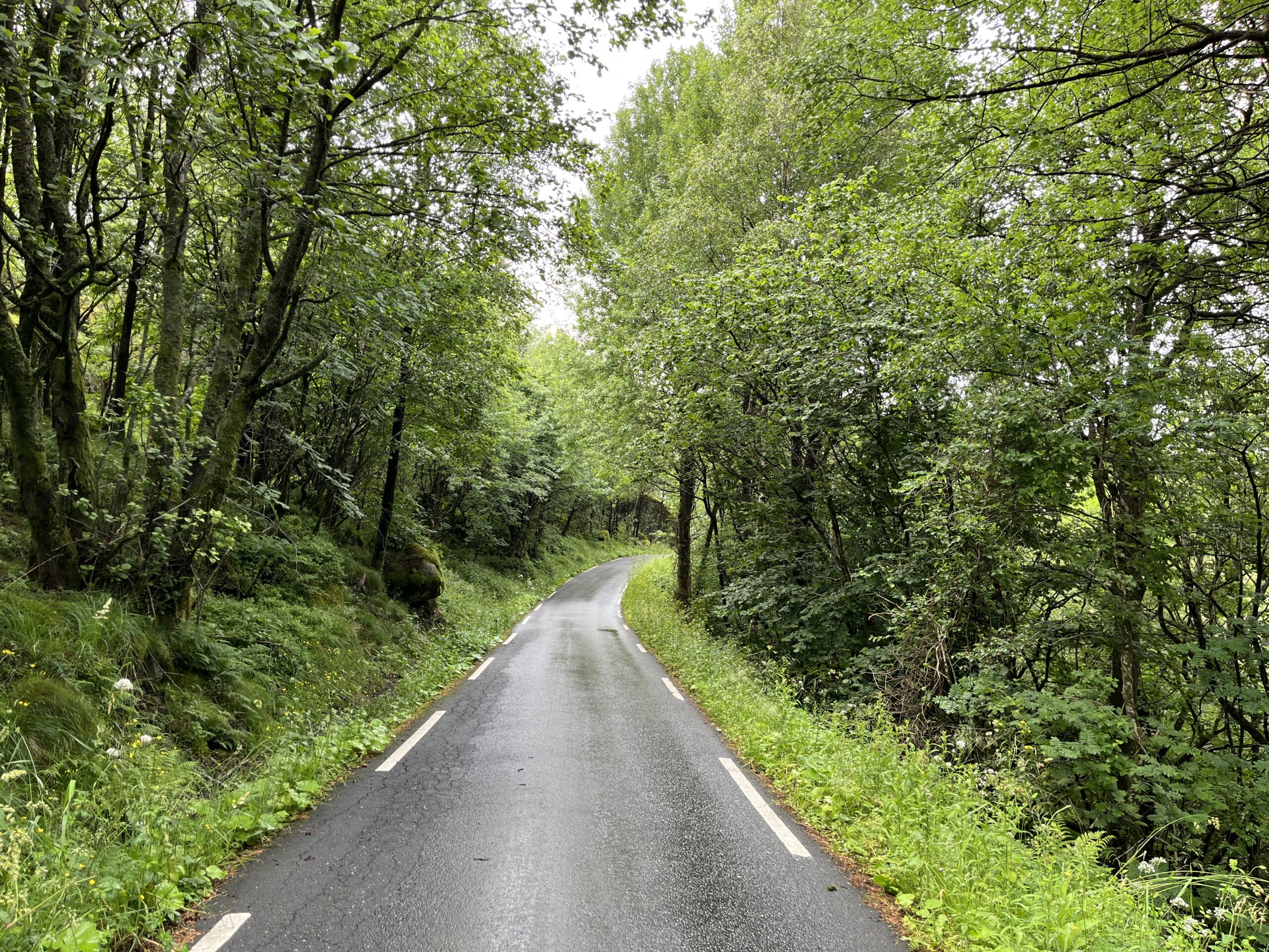
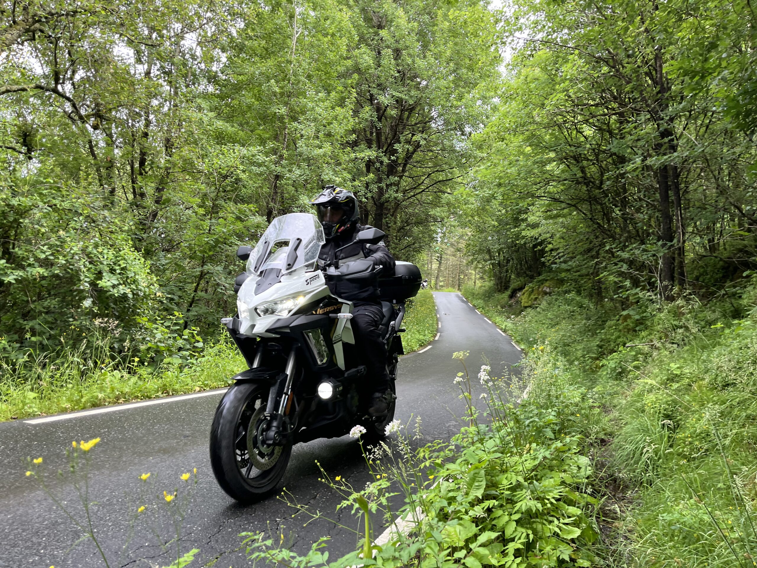
A delightful journey through rocks and topography you'll only find in Rogaland. Here, motorcyclists can fulfill all their dreams with the exception of great speed. However, it's fast enough and you'll feel the rhythm and g-forces all day long. You'll have a smile on your face, and you'll ride thousands of bends, picking up and delivering meters of altitude in climbs and falls. This is a route with great variations and the "sissy strip" on the rear tire will gradually become smaller and eventually disappear.

Sea and land is a route with great variations in the form of varied terrain that winds its way through typical Rogaland nature. Along the coast, the roads are narrow, winding and occasionally tight, with good road quality making it possible to find a festive rhythm on the motorcycle on the way to Egersund if you start in Sognadalsstrand or Flekkefjord. The coastal part of the route is full of surprises and sights that we recommend you take the time to experience, especially the maritime museum at Hauge in Rekefjord which is packed full of local maritime history.

After Egersund you get some peace and quiet for about 30 km before you turn off towards Moi at Bjørnestad, from where you follow RV 42 and this is where the fun starts. Now you drive over hills and mountains that are replaced by beautiful farms and ponds in properly dosed turns that allow you to drop a little speed but you feel the smile raining on your helmet. We recommend lunch at the bakery in Moi, which serves a slightly unhealthy but delicious selection of sandwiches and cakes.

After a break in Moi, you climb up the terrain and once again the twists and turns become tight and festive until you’re back in Flekkefjord or Sognadalstrand if you started there. The areas of Skåland, Åsvold, Mydland, Myssa and Ålgård are well-known places on the way to Åmot. The stretch towards Årstad is particularly festive, provided you don’t just like big sweepers, as it’s a bit cramped and exciting at times.

Please note that the map does not show the correct exit to Sogndalsstrand kulturhotell, so you’ll have to follow it yourself. Suma sumarun is a fun route that looks like a party for motorcyclists.

Support

How can I navigate the route?

This primarily depends on whether you have a GPS installed, navigate by App on your mobile phone or prefer paper printing. Here we describe the most common workflows:

  • Download the GPX file for the route of your choice to your computer
  • Import the file to your route planning tool (e.g. Garmin’s Basecamp or Tom Tom’s MyDrive)
  • Export the route to your GPS in the usual way
  • Check that the route is calculated correctly in your GPS (It is recommended that the GPS is set to select the fastest route and any avoidance is turned off for the route to be calculated as described).
  • Have a good trip!
  • Download the GPX file for the route of your choice to your mobile phone
  • Send/open the file in the app that belongs to your GPS model (e.g. Garmin’s Drive or Tom Tom’s MyDrive)
  • Send the route to your GPS (follow instructions that come with your GPS and App)
  • Check that the route is calculated correctly in your GPS (It is recommended that the GPS is set to select the fastest route and any avoidance is turned off for the route to be calculated as described).
  • Have a good trip!

Many of the routes on Hubriding use the app Ride with GPS app for route planning and navigation of the routes. You can download a free version or pay for extended use. Click on the Send to Device link on the map on this page, when the app has started and you see the current route, press Navigate and then just follow the route.

  • Click on the link in the map on the page and the map will open in a new window
  • Print the map, with or without description
  • Have a good trip!