Route 3
Viking Way
The route is defined as normal
Routes defined as normal are suitable for most people who have experience with somewhat demanding sections.Tid
3:30 timer
Length
178 km
Popularity
7.5 av 10
From Engø Gård, take a short detour to Vestveien to pick up a delicious latte from Tjøme Kolonial (and perhaps a good packed lunch?), before continuing towards Tønsberg and Slagendalen.
There is a separate parking lot for Osebergrunden at Klokkeråsen School (see sign).
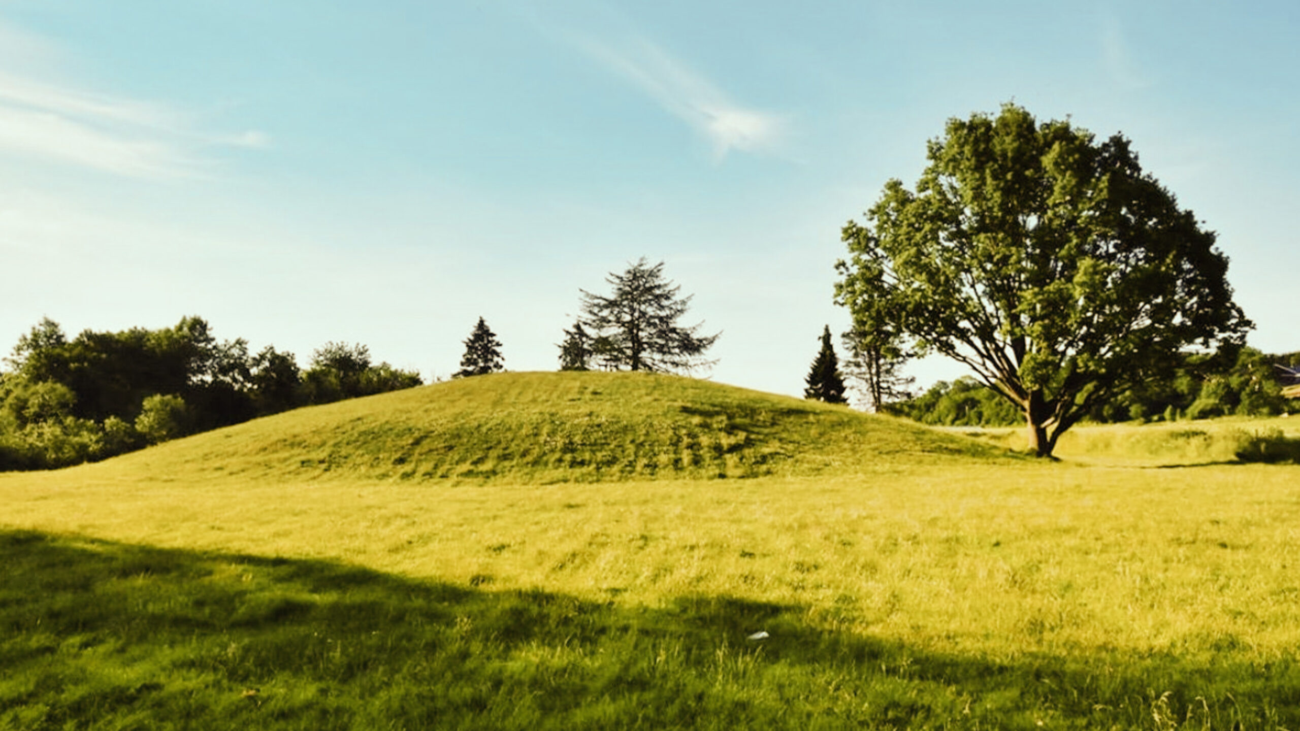
Take the apostles' horses and follow the short path to Oseberghaugen - the mound that has actually provided us with the world's richest burial finds from the Viking Age.
Then head south on Vikingveien for new discoveries.
This is a drive that can be enjoyed whatever the season – the colors of the historic landscape change with the seasons, the light changes with the weather, the sea waves quietly or roars loudly.
Just as it did when the Vikings roamed here.
From Oseberghaugen you continue on the E-18 towards Sandefjord, ready for the next Viking grave; Gokstadhaugen, also known as “Kongshaugen”.
The remains of the Gokstad ship are currently on display in the Viking Ship House in Oslo, but if you continue to Strandpromenaden in Sandefjord, you can see the eager boat builders of Oseberg Vikingarv working on a large-scale replica of the mighty Viking ship.
Another “ship” worth stopping by is the stone ship at Istrehågan cemetery in Marumskogen.
Here, an ancient stone setting shaped like a ship guards the remains of the deceased chieftain.
The site dates back to 4-600 AD.
Enjoying your packed lunch in the forest here, with the sound of history whispering around you, really gives you room for reflection.
The next stop along the Viking Road is Norway’s oldest trading post, Kaupang, which was established in the early 800s.
Guided tours are held here in the summer.
When you arrive back on the E-18 in your “iron horse”, you can choose to return to Tjøme, or you can head out to Mølen – one of Norway’s finest burial grounds.
Here, on the country’s largest pebble beach, there are a total of 230 burial mounds, beautifully situated with the sea as a mighty guardian.
In June 2008, the Nordic region’s first UNESCO European Geopark opened at Mølen, and the entire area is protected.
On the way home, we recommend a stop in Norway’s oldest town, at the landmark Slottsfjellet and the iconic tower from 1888.
If you want to wander even further back in time, take a trip down to Vikingodden.
Here you can see several of the skilled traditional boat builders at work, as well as admire full-scale archaeological replicas of several famous Viking ships, including (of course) the Oseberg ship!
When you roll back into the courtyard at Engø Gård, you’ll be full of impressions, but hungry for the chef’s temptations.
Support
How can I navigate the route?
This primarily depends on whether you have a GPS installed, navigate by App on your mobile phone or prefer paper printing.
Here we describe the most common workflows:
- Download the GPX file for the route of your choice to your computer
- Import the file to your route planning tool (e.g. Garmin’s Basecamp or Tom Tom’s MyDrive)
- Export the route to your GPS in the usual way
- Check that the route is calculated correctly in your GPS (It is recommended that the GPS is set to select the fastest route and any avoidance is turned off for the route to be calculated as described).
- Have a good trip!
- Download the GPX file for the route of your choice to your mobile phone
- Send/open the file in the app that belongs to your GPS model (e.g. Garmin’s Drive or Tom Tom’s MyDrive)
- Send the route to your GPS (follow instructions that come with your GPS and App)
- Check that the route is calculated correctly in your GPS (It is recommended that the GPS is set to select the fastest route and any avoidance is turned off for the route to be calculated as described).
- Have a good trip!
Many of the routes on Hubriding use the app Ride with GPS app for route planning and navigation of the routes.
You can download a free version or pay for extended use.
Click on the Send to Device link on the map on this page, when the app has started and you see the current route, press Navigate and then just follow the route.
- Click on the link in the map on the page and the map will open in a new window
- Print the map, with or without description
- Have a good trip!